Randolph Wild Hiking Trail
- 5.3 mi
- round trip
- 829 ft
- climb
- 930 ft
- high point
- Out and back
- route
- Feb–May, Sep–Nov
- best months
Caution at last check
Agency alerts are in effect for this area; weather is good · USFS, OpenWeather · checked 19 h ago
Is Randolph Wild Hiking Trail open right now?
Closure in the area
There's a closure order in National Forests in Alabama. It doesn't name Randolph Wild Hiking Trail, so check the source for the area it covers (2 listed).
Blue Horse Trail Closure
Agency closure covering National Forests in Alabama · USFS · National Forests in Alabama
Shooting Range Prohibitions
Agency closure covering National Forests in Alabama · Order 08-01-00-22-108 · USFS · National Forests in Alabama
Alabama's National Forests begin prescribed fires
Agency alert covering National Forests in Alabama · USFS · National Forests in Alabama
Public Health and Safety - Target Shooting
Agency alert covering National Forests in Alabama · Order 2012-07-01 · USFS · National Forests in Alabama
Cave Habitat Forest Order - Indiana and Gray Bats
Agency alert covering National Forests in Alabama · Order 2012-01-01 · USFS · National Forests in Alabama
As of · Source: USFS · National Forests in Alabama. Agencies don't list every closure — check before you go.
The Randolph Wild Hiking Trail is a 5.3-mile out-and-back hike in the Sipsey Wilderness, part of the Bankhead Ranger District of the National Forests in Alabama. The Forest Service manages the land, and the trail lies within designated wilderness. The route starts and ends at about 930 feet, with a high point of 930 feet and a low of 570 feet. The total climb is 829 feet, and the steepest stretch comes at about 2.5 miles in, where the grade reaches 16%. The trail is rated hard, and the surface is natural. Bikes and horses are not allowed. Spring and fall are the most comfortable times to go. Typical averages from a nearby weather station in Haleyville show October highs around 74°F with lows near 52°F, and April is similar at about 73°F by day and 50°F at night. The Rippey Wild Hiking Trail starts just 0.3 miles away. Thompson Creek Wild Hiking and Bunyan Hill Wild Hiking Trail are both within about 3.6 miles, and paddlers can reach Thompson Creek, about 4 miles off.
- Rippey Wild Hiking TrailHiking0.3 mi
 Thompson Creek Wild HikingHikingPhoto: dmtilley, CC BY 3.0 (via Wikimedia Commons)3.4 mi
- Northwest Wild HorseHiking3.4 mi
- Bunyan Hill Wild Hiking TrailHikingPhoto: dmtilley, CC BY 3.0 (via Wikimedia Commons)3.6 mi
- Thompson CreekCanoeing4 mi
- Sipsey Wild Hiking TrailHiking4.1 mi
- Borden Creek Wild HikingHiking4.6 mi
- Bunyan Hill Wild HorseHiking4.6 mi
Source: Roamze catalog (indexable pages within 10 miles, PostGIS distance)
- Bunyan Hill Wild Hiking TrailHiking · ~6 min drivePhoto: dmtilley, CC BY 3.0 (via Wikimedia Commons)
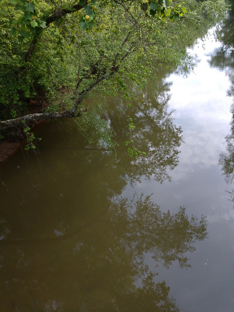 Outcroppings TrailHiking · ~1h 18m drivePhoto: MichaelGras, CC BY 2.0 (via Flickr)
- Ccc Camp TrailHiking · ~1h 18m drivePhoto: MichaelGras, CC BY 2.0 (via Flickr)
 Pine Torch Horse LoopHiking · ~17 min drivePhoto: Toby Gray, Public Domain Dedication (CC0) (via Flickr)
 CH Rock Springs TrailHiking · ~1h 19m drivePhoto: Mike Tilley, CC BY 3.0 (via Wikimedia Commons)
- Bunyan Hill Wild HorseHiking · ~8 min drive
- Thompson Creek Wild HikingHiking · ~6 min drivePhoto: dmtilley, CC BY 3.0 (via Wikimedia Commons)
 Natchez Trace TrailHiking · ~1h 20m drivePhoto: MichaelGras, CC BY 2.0 (via Flickr)
- Rockpile TrailHiking · ~1h 1m drive
- Rippey Wild Hiking TrailHiking · Next door
Best time to visit Randolph Wild Hiking Trail
Best months: February–May and September–November. Best months have typical highs of 55–85 °F, lows of 30 °F or warmer (32 °F where the station doesn't record snow), at most one snowy day and no more than 12 wet days.
Jan
51° / 33°
10 wet
Feb
56° / 36°
9 wet
Mar
65° / 43°
10 wet
Apr
73° / 50°
9 wet
May
79° / 59°
9 wet
Jun
86° / 66°
9 wet
Jul
89° / 69°
10 wet
Aug
89° / 69°
9 wet
Sep
84° / 63°
7 wet
Oct
74° / 52°
7 wet
Nov
62° / 42°
9 wet
Dec
53° / 35°
10 wet
Typical high / low (°F) and days with rain or snow, 1991–2020. Measured at Haleyville, AL, 10.3 mi away at 920 ft. This station doesn't record snowfall. Source: NOAA NCEI U.S. Climate Normals 1991–2020.

