Mitchell Ridge Trail
- 14.1 mi
- round trip
- 1,399 ft
- climb
- 963 ft
- high point
- Out and back
- route
- Feb–May, Sep–Nov
- best months
Is Mitchell Ridge Trail open right now?
Closure in the area
There's a closure order in National Forests in Alabama. It doesn't name Mitchell Ridge Trail, so check the source for the area it covers (2 listed).
Blue Horse Trail Closure
Agency closure covering National Forests in Alabama · USFS · National Forests in Alabama
Shooting Range Prohibitions
Agency closure covering National Forests in Alabama · Order 08-01-00-22-108 · USFS · National Forests in Alabama
Alabama's National Forests begin prescribed fires
Agency alert covering National Forests in Alabama · USFS · National Forests in Alabama
Public Health and Safety - Target Shooting
Agency alert covering National Forests in Alabama · Order 2012-07-01 · USFS · National Forests in Alabama
Cave Habitat Forest Order - Indiana and Gray Bats
Agency alert covering National Forests in Alabama · Order 2012-01-01 · USFS · National Forests in Alabama
As of · Source: USFS · National Forests in Alabama. Agencies don't list every closure — check before you go.
Mitchell Ridge Trail is a 14.1-mile out-and-back hike in the Sipsey Wilderness, part of the Bankhead Ranger District of the National Forests in Alabama. The Forest Service manages the land, and the trail lies entirely within designated wilderness. The route starts at about 683 feet and climbs to a high point of 963 feet, with a total gain of 1,399 feet over the round trip. The steepest stretch comes within the first 0.06 miles, where the grade reaches about 13%. The trail is natural-surface and does not allow bikes or horses. Spring and fall are the most comfortable times to go. Typical averages from a nearby weather station in Moulton show October highs around 74°F with lows near 48°F, and April highs around 72°F. That station sits about 340 feet lower than the trail's high point, so temperatures on the ridge run a bit cooler. Several other trails lie within a few miles, including Bunyan Hill Wild Hiking Trail, Lookout Wild Hiking Trail and Braziel Creek Wild Hiking. Paddlers can find Thompson Creek about 3.6 miles away.
Best time to go · Feb–May, Sep–Nov
Best time to visit Mitchell Ridge Trail
Best months: February–May and September–November. Best months have typical highs of 55–85 °F, lows of 30 °F or warmer (32 °F where the station doesn't record snow), at most one snowy day and no more than 12 wet days.
Jan
51° / 30°
12 wet
Feb
55° / 33°
11 wet
Mar
63° / 40°
12 wet
Apr
72° / 49°
10 wet
May
79° / 57°
10 wet
Jun
86° / 65°
11 wet
Jul
88° / 68°
11 wet
Aug
88° / 67°
10 wet
Sep
84° / 61°
8 wet
Oct
74° / 48°
8 wet
Nov
62° / 38°
9 wet
Dec
53° / 33°
12 wet
Typical high / low (°F) and days with rain or snow, 1991–2020. Measured at Moulton 2, AL, 11.6 mi away at 622 ft. Source: NOAA NCEI U.S. Climate Normals 1991–2020.
Keep exploring — more trails worth the drive
 Photo: dmtilley, CC BY 3.0 (via Wikimedia Commons)
Bunyan Hill Wild Hiking Trail
~3 min drive
4.81-mile out-and-back trail in Alabama with 191 ft gain.
 Photo: Mike Tilley, CC BY 3.0 (via Wikimedia Commons)
CH Rock Springs Trail
~1h 18m drive
0.40-mile loop trail in Alabama with 178 ft gain.
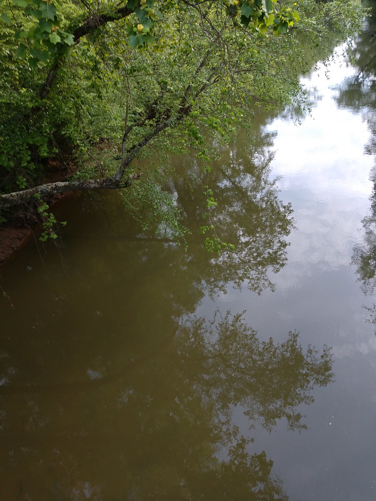 Photo: MichaelGras, CC BY 2.0 (via Flickr)
Ccc Camp Trail
~1h 22m drive
2.97-mile out-and-back trail in Mississippi with 628 ft gain
Photo: dmtilley, CC BY 3.0 (via Wikimedia Commons)Thompson Creek Wild Hiking
~7 min drive
6.63-mile out-and-back trail in Alabama with 1,075 ft elevation gain.
Photo: MichaelGras, CC BY 2.0 (via Flickr)Outcroppings Trail
~1h 22m drive
Easy 1.83-mile loop featuring Mississippi's distinctive rock outcroppings.
HIKE
Bunyan Hill Wild Horse
~4 min drive
9.4-mile out-and-back trail in Alabama with 424 ft elevation gain.
 Photo: Toby Gray, Public Domain Dedication (CC0) (via Flickr)
Pine Torch Horse Loop
~9 min drive
21.42-mile out-and-back trail in Alabama with 818 ft elevation gain.
 Photo: MichaelGras, CC BY 2.0 (via Flickr)
Natchez Trace Trail
~1h 23m drive
0.62-mile out-and-back hike on the historic Natchez Trace in Mississippi.
HIKE
Rockpile Trail
~57 min drive
Short Alabama trail featuring natural rock formations and easy terrain.
HIKE
Lookout Wild Hiking Trail
~4 min drive
8.33-mile out-and-back trail in Alabama with 656 ft elevation gain.
Also worth it near here
