Longleaf
- 0.7 mi
- round trip
- 370 ft
- climb
- 1,090 ft
- high point
- Out and back
- route
- Oct–May
- best months
Longleaf is a short, easy hike in western Alabama, about 1.3 miles from the town of Eagle Point. The trail is an out-and-back with a total length of about 1.4 miles and a low elevation gain of about 90 feet, making it a gentle walk for a quick outing. The route starts near 1,000 feet and climbs to about 1,090 feet, with the steepest stretch around the 0.4-mile mark. Bicycles are allowed, but horses are not. Spring and fall are the most comfortable times to visit. Typical averages from a nearby weather station in Helena show October highs around 76°F with lows near 52°F, and April is similar at about 76°F by day. That station sits well below the trail, so temperatures on the route run cooler. The Belcher Byway lies just 0.4 miles away, and Lunker Lake Trail and Moccasin Wildlife Trail are both within about 2 miles. Paddlers can reach Yellowleaf Creek, roughly 9 miles off.
- Belcher BywayHiking0.4 mi
- Lunker Lake TrailHiking1.5 mi
- Moccasin Wildlife TrailHiking2.2 mi
- Yellowleaf CreekCanoeing8.8 mi
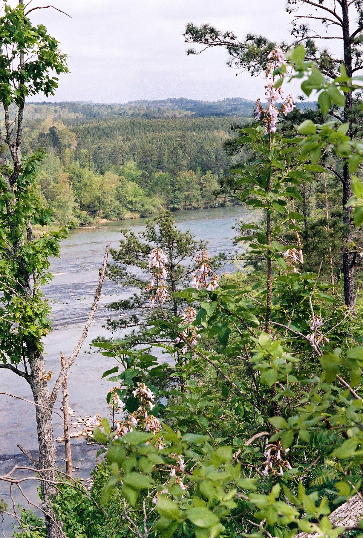 Cahaba RiverCanoeingPhoto: U.S. Fish and Wildlife Service, Public domain (via Wikimedia Commons)9.5 mi
- Grass Man AreaRock climbing9.8 mi
- Ozzy AreaRock climbing9.9 mi
- Moss Rock PreserveRock climbing9.9 mi
Source: Roamze catalog (indexable pages within 10 miles, PostGIS distance)
 Moss Rock Preserve White TrailHiking · ~16 min drivePhoto: EricEricson, CC BY-SA 3.0 (via Wikimedia Commons)
- Moss Rock Preserve Orange TrailHiking · ~16 min drivePhoto: EricEricson, CC BY-SA 3.0 (via Wikimedia Commons)
- Belcher BywayHiking · Next door
- South Rim TrailHiking · ~12 min drive
- SlingshotHiking · ~8 min drive
- Moss Rock Preserve Red TrailHiking · ~18 min drivePhoto: EricEricson, CC BY-SA 3.0 (via Wikimedia Commons)
- Far End Back TrailHiking · ~4 min drive
- Shackleford Point TrailHiking · ~12 min drive
- Lunker Lake TrailHiking · ~3 min drive
- Valley LoopHiking · ~6 min drive
Best time to visit Longleaf
Best months: October–May. Best months have typical highs of 55–85 °F, lows of 30 °F or warmer (32 °F where the station doesn't record snow), at most one snowy day and no more than 12 wet days.
Jan
55° / 35°
11 wet
Feb
60° / 38°
11 wet
Mar
68° / 45°
12 wet
Apr
76° / 51°
10 wet
May
83° / 60°
10 wet
Jun
90° / 68°
11 wet
Jul
92° / 71°
12 wet
Aug
92° / 70°
11 wet
Sep
87° / 64°
8 wet
Oct
76° / 52°
8 wet
Nov
65° / 42°
9 wet
Dec
57° / 37°
11 wet
Typical high / low (°F) and days with rain or snow, 1991–2020. Measured at Helena, AL, 11.7 mi away at 480 ft. The station sits about 600 ft lower than this place, so expect it a little cooler here. This station doesn't record snowfall. Source: NOAA NCEI U.S. Climate Normals 1991–2020.
