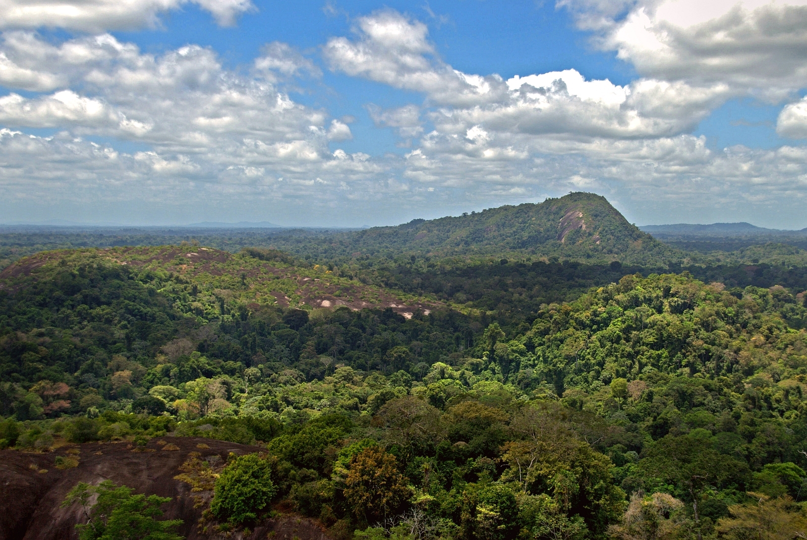
Natuurreservaat van Centraal-Suriname
About
Natuurreservaat van Centraal-Suriname is a protected natural area in Sipaliwini, Suriname, covering about 4,001,200 acres (16,193 km²). Its peaks include Julianatop, Tafelberg and Emma Keten. Waterfalls inside it include Anjoemara Vallen and Anjoemara Vallen 2. For camping, there is Foengoe Island Resort and Kamp voor tusse stop Voltzberg. Elevations inside the park range from about 2,730 ft to 4,040 ft. It is classed as a nature reserve. It is managed as an IUCN category II protected area. It is listed as a World Heritage Site. It is managed by the Foundation for Nature Conservation. These details come from Wikidata. The boundary comes from OpenStreetMap. Check the park's own rules, fees and opening hours before you go.
Park size
4,001,203 acres
Location
Natuurreservaat van Centraal-Suriname
Sipaliwini
Data © OpenStreetMap contributors, available under the Open Database License (ODbL). View or edit on OpenStreetMap.
Conditions and forecast
Daily highs and lows, wind and the chance of precipitation at Natuurreservaat van Centraal-Suriname for the next 7 days, from the Open-Meteo model.
Map and trail data © OpenStreetMap contributors
