Tamar - Kotovo sedlo - Jalovec
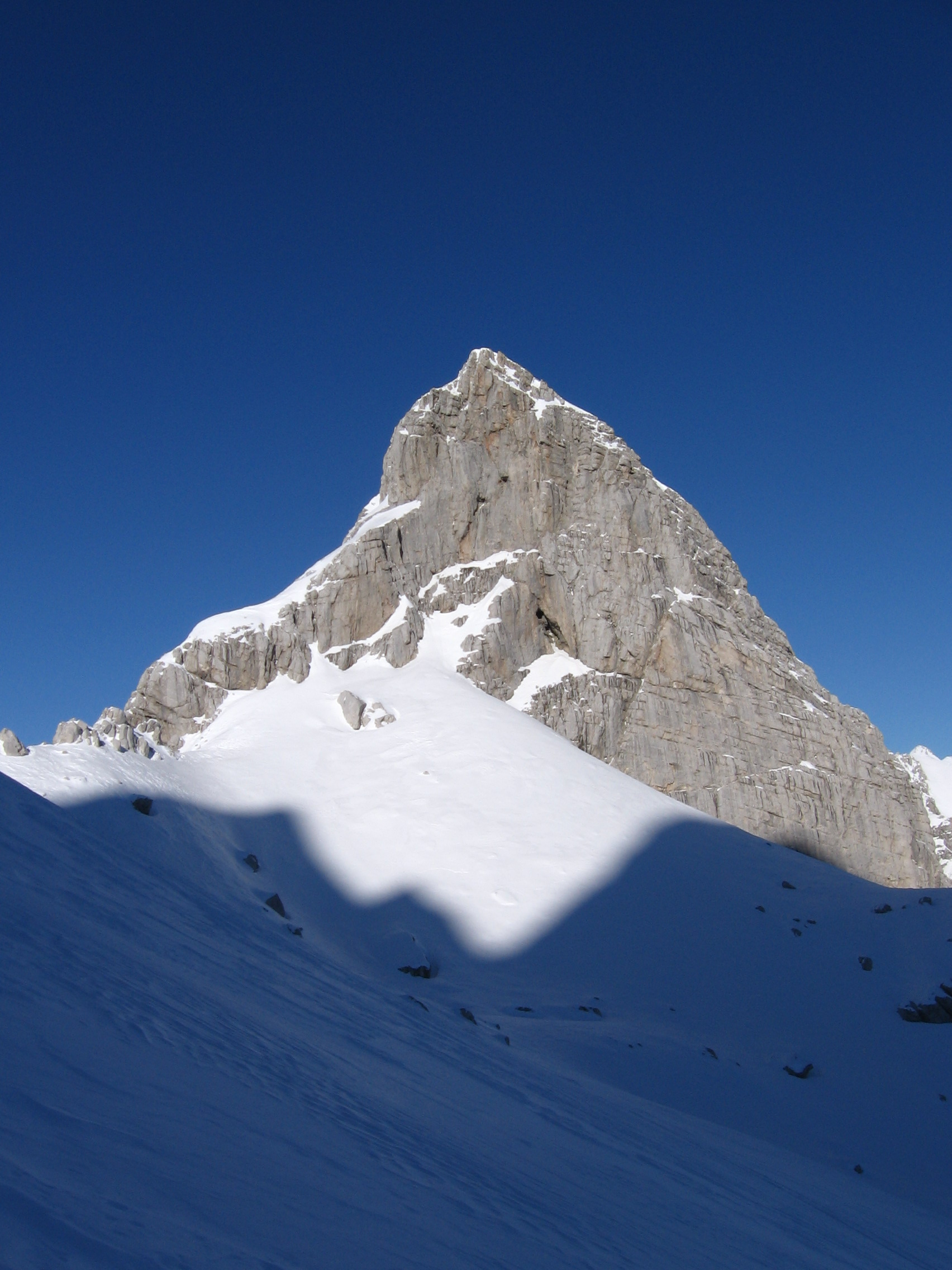
 Photo: MKrolik-WMF, CC0 (via Wikimedia Commons)
- 2.1 mi
- one way
- 8,398 ft
- high point
- Point to point
- route
Tamar - Kotovo sedlo - Jalovec is a 2.1-mile point-to-point route in Bovec, Slovenia, inside Triglavski narodni park. It runs between about 5,300 ft and 8,400 ft above sea level. It is mapped as a named hiking route, with the sections joined into one trail here. The nearest town is Log pod Mangartom, about 4.1 miles northeast of the trailhead. Peaks within about 3 miles include Špica v Planji, Kotova špica and Mali Jalovec. Slap Črne vode and Slap Nadiža are within about 3 miles. For camping, Kamp Triglav and Camp Triglav Ranc are within about 6 miles. There are 12 other mapped trails within about 3 miles, so you can combine or extend the outing. Distances, elevations and the route shape here come from OpenStreetMap and the Copernicus 90 m elevation model. Trails, access rules and conditions change, so check locally before you go.
Conditions and forecast
Daily highs and lows, wind and the chance of precipitation at Tamar - Kotovo sedlo - Jalovec for the next 7 days, from the Open-Meteo model.
 Tamar - Jalovška škrbina - JalovecHiking · ~1 min drivePhoto: Johann Jaritz, CC BY-SA 4.0 (via Wikimedia Commons)
 Soča - Bavški GrintavecHiking · ~10 min drivePhoto: Jiří Bernard, CC BY-SA 3.0 (via Wikimedia Commons)
 Kluže - RombonHiking · ~11 min drivePhoto: Mihael Grmek, CC BY-SA 3.0 (via Wikimedia Commons)
- Huda stezaHiking · ~3 min drive
- Tiha potkaHiking · ~10 min drive
 Vršič - Mala MojstrovkaHiking · ~5 min drivePhoto: Erik from Laagri, Estonia, CC BY 2.0 (via Wikimedia Commons)
- Grebenska potHiking · ~6 min drive
- Nad Šitom glavaHiking · ~5 min drive
- Planica - Pokljuka (PP)Hiking · ~3 min drive
- Sentiero degli GnomiHiking · ~12 min drive
Also worth it near here


Map and trail data © OpenStreetMap contributors
