Čez Plemenice
- 1.6 mi
- one way
- 2,383 ft
- climb
- 8,228 ft
- high point
- Point to point
- route
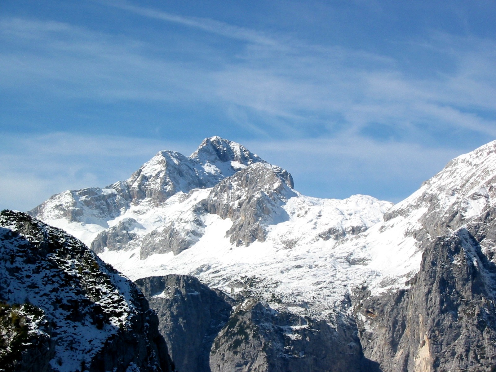
Čez Plemenice is a 1.6-mile point-to-point route in Bovec, Slovenia, inside Triglavski narodni park. It runs between about 5,860 ft and 8,230 ft above sea level, with roughly 2,380 ft of climbing one way. It is demanding alpine terrain with scrambling on exposed ground; it is for experienced, well-equipped hikers. Most of the way is dirt. It is mapped as a named hiking route, with the sections joined into one trail here. The nearest town is Gozd Martuljek, about 6.7 miles south of the trailhead. Peaks within about 3 miles include Vrh nad Kamnom, Mali Pihavec and Plemenice. Lešarjev slap and Slap Kloma are within about 3 miles. For camping, Kamp Triglav and Camp Triglav Ranc are within about 6 miles. There are 18 other mapped trails within about 3 miles, so you can combine or extend the outing. Distances, elevations and the route shape here come from OpenStreetMap and the Copernicus 90 m elevation model. Trails, access rules and conditions change, so check locally before you go.
Conditions and forecast
Daily highs and lows, wind and the chance of precipitation at Čez Plemenice for the next 7 days, from the Open-Meteo model.
 Vršič - Mala MojstrovkaHiking · ~8 min drivePhoto: Erik from Laagri, Estonia, CC BY 2.0 (via Wikimedia Commons)
 Soča - Bavški GrintavecHiking · ~13 min drivePhoto: Jiří Bernard, CC BY-SA 3.0 (via Wikimedia Commons)
- Pot čez Kugyjevo polico (nezavarovana)Hiking · ~2 min drive
- Zgornji JezercHiking · ~7 min drive
- Tiha potkaHiking · ~11 min drive
 Tamar - Jalovška škrbina - JalovecHiking · ~12 min drivePhoto: Johann Jaritz, CC BY-SA 4.0 (via Wikimedia Commons)
- Kriški podiHiking · ~2 min drive
- čez KomarHiking · ~2 min drive
- Vodnikov Dom - VojeHiking · ~8 min drive
- Markirana pot na JerebikovecHiking · ~13 min drive
Map and trail data © OpenStreetMap contributors
