Triglavski narodni park
 Photo: Mateus2019, CC BY-SA 3.0 (via Wikimedia Commons)
Triglavski narodni park is a national park in Bohinj, Slovenia, covering about 206,500 acres (836 km²). There are 72 mapped trails inside it, including Alpe Adria Trail E24, Alpe Adria Trail E26 and Bližnjica. Its peaks include Triglav, Škrlatica and Mali Triglav. Waterfalls inside it include Desni Skočniki, Gorejca and Končarjev slap. For camping, there is Camp Triglav Ranc and Kamp Bohinj Zlatorog. Elevations inside the park range from about 490 ft to 9,400 ft. The nearest town is Ukanc, about 4.0 miles north of the park's centre. The boundary comes from OpenStreetMap. Check the park's own rules, fees and opening hours before you go.
Conditions and forecast
Daily highs and lows, wind and the chance of precipitation at Triglavski narodni park for the next 7 days, from the Open-Meteo model.
Park size
206,492 acres
 Gozdni rezervat Savica-UkancState park · ~6 min drivePhoto: JøMa, CC BY-SA 4.0 (via Wikimedia Commons)
 Gozdni rezervat GrušnicaState park · ~12 min drivePhoto: Bojan Marušič, CC BY-SA 4.0 (via Wikimedia Commons)
 Naravni rezervat ZelenciState park · ~19 min drivePhoto: Mihael Grmek, CC BY-SA 4.0 (via Wikimedia Commons)
 Conca di FusineState park · ~21 min drivePhoto: Sarah Folla, CC BY-SA 4.0 (via Wikimedia Commons)
 Natura 2000 - Monte MatajurState park · ~27 min drivePhoto: SkiNick890, CC BY-SA 4.0 (via Wikimedia Commons)
 Jof di Montasio e Jof FuartState park · ~30 min drivePhoto: chripell from Friuli, Italy, CC BY-SA 2.0 (via Wikimedia Commons)
 Naturpark DobratschState park · ~31 min drivePhoto: Johann Jaritz, CC BY-SA 4.0 (via Wikimedia Commons)
 Gozdni rezervat Lepo brdo (Paradana)State park · ~41 min drivePhoto: Bojan Marušič, CC BY-SA 4.0 (via Wikimedia Commons)
 Natura 2000 - Palude di RacchiusoState park · ~46 min drivePhoto: MicheleOSM3, CC BY-SA 4.0 (via Wikimedia Commons)
 Gozdni rezervat StrugState park · ~46 min drivePhoto: Ajznponar, CC0 (via Wikimedia Commons)
Also worth it near here
 OgradiSummit · ~2 min drivePhoto: JakobZ, CC BY-SA 3.0 (via Wikimedia Commons)
- Pot Mire Marko DebelakoveHiking · ~3 min drive
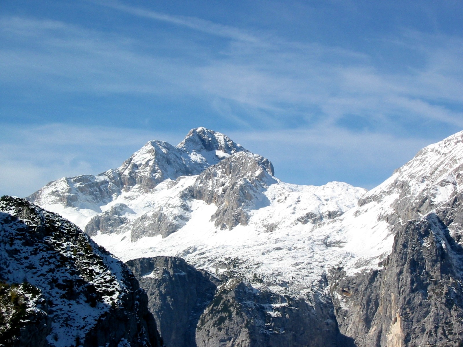 Triglav: Kugyjeva (from the road end)Mountaineering · ~5 min drivePhoto: Andrej Jakobčič, CC BY-SA 3.0 (via Wikimedia Commons)
 Slap SavicaWaterfall · ~5 min drivePhoto: Tiia Monto, CC BY-SA 3.0 (via Wikimedia Commons)
Best time to visit Triglavski narodni park
No month here meets our mild-weather rule. Best months have typical highs of 55–85 °F, lows of 30 °F or warmer (32 °F where there's no snowfall data), at most one snowy day and no more than 12 wet days.
Jan
24° / 10°
11 wet
Feb
24° / 10°
11 wet
Mar
30° / 14°
13 wet
Apr
37° / 20°
16 wet
May
46° / 29°
16 wet
Jun
52° / 35°
17 wet
Jul
56° / 39°
16 wet
Aug
56° / 40°
15 wet
Sep
49° / 34°
15 wet
Oct
42° / 28°
14 wet
Nov
32° / 20°
14 wet
Dec
25° / 12°
13 wet
Typical high / low (°F) and days with rain or snow, 1981–2010. Modelled for the 1 km square this place sits in (average height 6,778 ft), not measured at a weather station. We don't have this place's elevation, so higher spots nearby can run cooler. Snowfall days aren't in this data. Source: CHELSA 1 km climate model (1981–2010) and CRU TS 4.09 wet days. Data: CHELSA V2.1 climatologies (Karger et al. 2017), WSL (CC0 1.0); CRU TS 4.09 (Harris et al. 2020), University of East Anglia Climatic Research Unit. Contains public sector information licensed under the Open Government Licence v3.0. (Open Government Licence v3.0).
Map and trail data © OpenStreetMap contributors
