Na Tosc
- 1.0 mi
- round trip
- 1,303 ft
- climb
- 7,330 ft
- high point
- Out and back
- route
Na Tosc is an out-and-back trail, 1.0 miles each way (2.0 miles round trip) in Bohinj, Slovenia, inside Triglavski narodni park. It runs between about 6,060 ft and 7,330 ft above sea level, with roughly 1,290 ft of climbing one way. It is demanding mountain hiking, with rocky or exposed stretches where you need sure footing. The nearest town is Studor v Bohinju, about 4.2 miles northwest of the trailhead. Peaks within about 3 miles include Mali Tosc, Tosc and Ablanca. Mostnica and Slap Mostnice are within about 3 miles. For camping, ZTS National training Centre Gozdna šola and Kamp Bohinj Zlatorog are within about 6 miles. There are 11 other mapped trails within about 3 miles, so you can combine or extend the outing. Distances, elevations and the route shape here come from OpenStreetMap and the Copernicus 90 m elevation model. Trails, access rules and conditions change, so check locally before you go.
Conditions and forecast
Daily highs and lows, wind and the chance of precipitation at Na Tosc for the next 7 days, from the Open-Meteo model.
 Vršič - Mala MojstrovkaHiking · ~15 min drivePhoto: Erik from Laagri, Estonia, CC BY 2.0 (via Wikimedia Commons)
 Soča - Bavški GrintavecHiking · ~17 min drivePhoto: Jiří Bernard, CC BY-SA 3.0 (via Wikimedia Commons)
- Vodnikov Dom - VojeHiking · ~2 min drive
- Pot čez Kugyjevo polico (nezavarovana)Hiking · ~5 min drive
- Markirana pot na JerebikovecHiking · ~13 min drive
- Via Alpina Purple A1Hiking · ~7 min drive
- Pot čez ČiprjeHiking · ~1 min drive
- Zgornji JezercHiking · ~3 min drive
- čez KomarHiking · ~5 min drive
- MulatjeraHiking · ~14 min drive
Also worth it near here
 ToscSummit · ~1 min drivePhoto: No machine-readable author provided. Žiga assumed (based on copyright claims)., Public domain (via Wikimedia Commons)
- Slap MostniceWaterfall · ~2 min drive
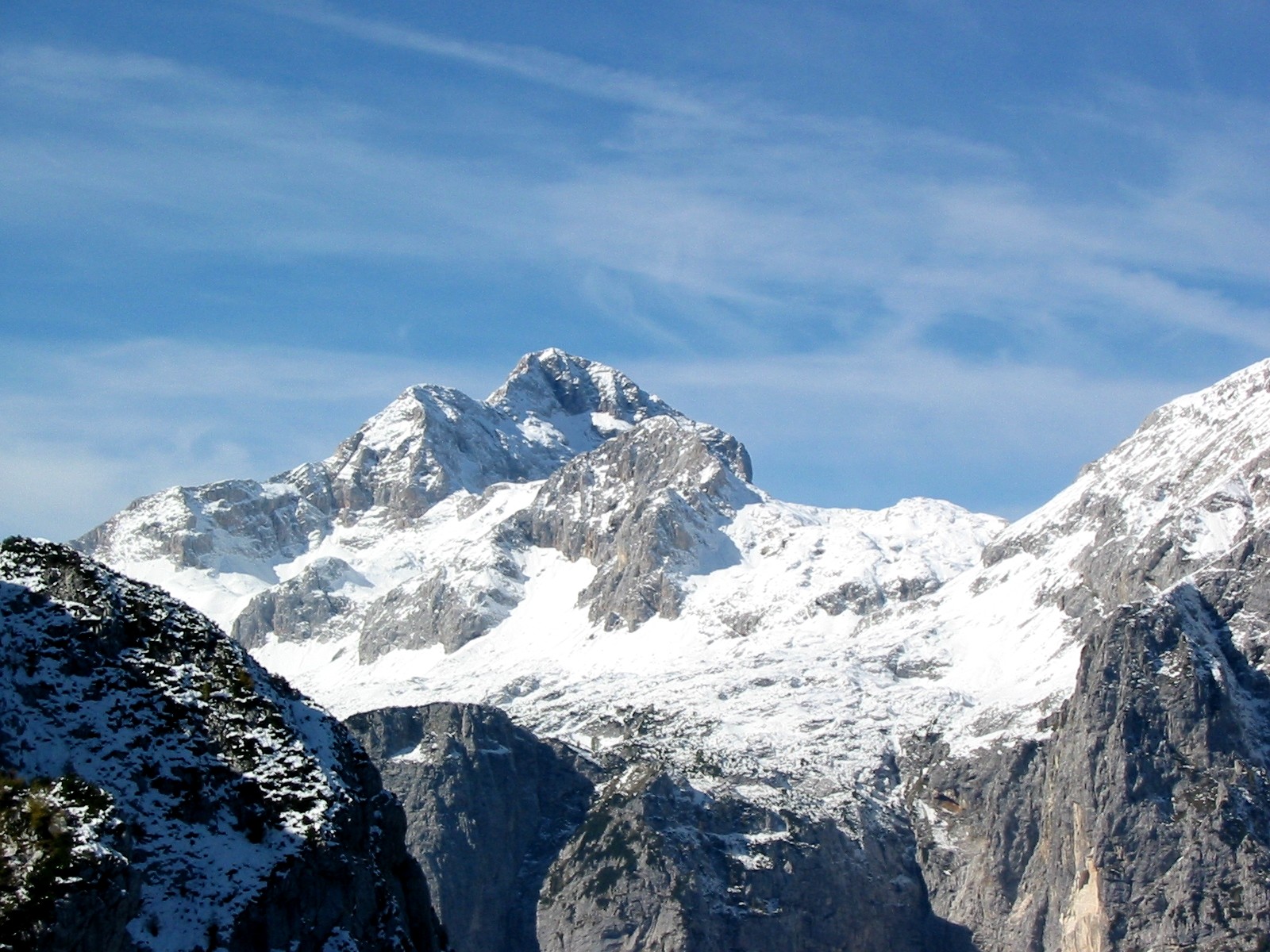 Triglav: Kugyjeva (from the road end)Mountaineering · ~7 min drivePhoto: Andrej Jakobčič, CC BY-SA 3.0 (via Wikimedia Commons)
Map and trail data © OpenStreetMap contributors
