Caminho dos Pessegueiros
- 2.7 mi
- one way
- 5,078 ft
- high point
- Point to point
- route
- Hard
- difficulty
Caminho dos Pessegueiros is a 2.7-mile point-to-point route in Madeira, Portugal, inside Parque Natural da Madeira. It runs between about 340 ft and 5,080 ft above sea level. It is demanding mountain hiking, with rocky or exposed stretches where you need sure footing. It is mapped as a named hiking route, with the sections joined into one trail here. The nearest town is São Vicente, about 1.8 miles west of the trailhead. Peaks within about 3 miles include Espigão, Ruivo do Paul and Assobiadouros. Córrego da Pedra and Antigo Tracado are within about 3 miles. For camping, Gaya Camping and Natureinnmadeira are within about 6 miles. There are 11 other mapped trails within about 3 miles, so you can combine or extend the outing. Distances, elevations and the route shape here come from OpenStreetMap and the Copernicus 90 m elevation model. Trails, access rules and conditions change, so check locally before you go.
Conditions and forecast
Daily highs and lows, wind and the chance of precipitation at Caminho dos Pessegueiros for the next 7 days, from the Open-Meteo model.
 PR 6.1 - Levada do RiscoHiking · ~7 min drivePhoto: anagh, CC BY-SA 3.0 (via Wikimedia Commons)
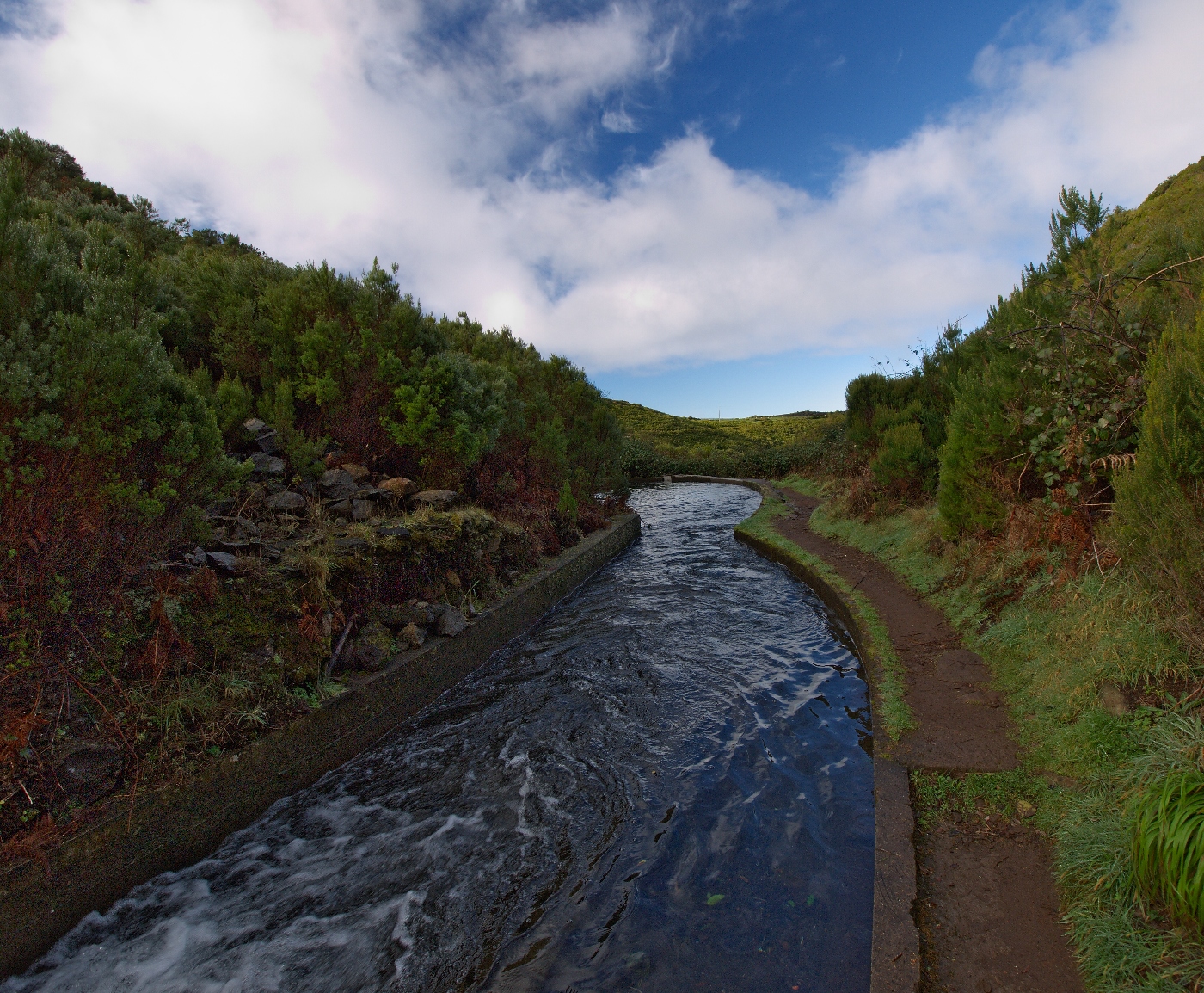 PR 6.2 - Levada do AlecrimHiking · ~8 min drivePhoto: senza senso from Moscow, Russua, CC BY 2.0 (via Wikimedia Commons)
 Vereda da EncumeadaHiking · ~9 min drivePhoto: Vitor Oliveira from Torres Vedras, PORTUGAL, CC BY-SA 2.0 (via Wikimedia Commons)
 PR 1.1 - Vereda da IlhaHiking · ~15 min drivePhoto: Vitor Oliveira from Torres Vedras, PORTUGAL, CC BY-SA 2.0 (via Wikimedia Commons)
- Vereda do Lombo NegroHiking · ~6 min drive
 PR 6.4 - Levada Velha do RabaçalHiking · ~8 min drivePhoto: Asurnipal, CC BY-SA 4.0 (via Wikimedia Commons)
- Levada das RabaçasHiking · ~7 min drive
- Vereda Pau BrancoHiking · ~3 min drive
- Levada dos CardaisHiking · ~4 min drive
- Vereda das EsmoitadasHiking · ~6 min drive
Also worth it near here


Map and trail data © OpenStreetMap contributors
