Lagoa dos Salgados: área protegida de âmbito nacional
 Photo: Kolforn (Kolforn)
I'd appreciate if you could mail me (Kolforn@gmail.com) if you want to use this picture out of the Wikimedia project scope.
This file is licensed under the Creative Commons Attribution-Share Alike 4.0 International license.
You are free:
to share – to copy, distribute and transmit the work
to remix – to adapt the work
Under the following conditions:
attribution – You must give appropriate credit, provide a link to the license, and indicate if changes were made. You may do so in any reasonable manner, but not in any way that suggests the licensor endorses you or your use.
share alike – If you remix, transform, or build upon the material, you must distribute your contributions under the same or compatible license as the original.https://creativecommons.org/licenses/by-sa/4.0CC BY-SA 4.0 Creative Commons Attribution-Share Alike 4.0 truetrue, CC BY-SA 4.0 (via Wikimedia Commons)
- Jan–Nov
- best months
Lagoa dos Salgados: área protegida de âmbito nacional is a protected natural area in Faro District, Portugal, covering about 100 acres (0 km²). The nearest town is Armação de Pêra, about 1.8 miles east of the park's centre. The boundary comes from OpenStreetMap. Check the park's own rules, fees and opening hours before you go.
Conditions and forecast
Daily highs and lows, wind and the chance of precipitation at Lagoa dos Salgados: área protegida de âmbito nacional for the next 7 days, from the Open-Meteo model.
Park size
121 acres
 Reserva Natural Local da Foz do Almargem e do TrafalState park · ~24 min drivePhoto: Vitor Oliveira from Torres Vedras, PORTUGAL, CC BY-SA 2.0 (via Wikimedia Commons)
 Paisagem Protegida Local da Rocha da PenaState park · ~29 min drivePhoto: Wilrooij, CC BY-SA 4.0 (via Wikimedia Commons)
 Paisagem Protegida Local da Fonte BenémolaState park · ~33 min drivePhoto: CTHOE, CC BY-SA 3.0 (via Wikimedia Commons)
 Mata Nacional de Barão de São JoãoState park · ~44 min drivePhoto: muffinn from Worcester, UK, CC BY 2.0 (via Wikimedia Commons)
 Parque Natural da Ria FormosaState park · ~58 min drivePhoto: Natalia, CC BY 2.0 (via Wikimedia Commons)
 Parque Natural do Sudoeste Alentejano e Costa VicentinaState park · ~1h drivePhoto: Patrice78500, Public domain (via Wikimedia Commons)
 Reserva Natural do Sapal de Castro Marim e Vila Real de Santo AntónioState park · ~1h 25m drivePhoto: Vitor Oliveira from Torres Vedras, PORTUGAL, CC BY-SA 2.0 (via Wikimedia Commons)
- Reserva Integral PNMRAState park · ~6 min drive
- Centro Nacional de Reprodução do Lince IbéricoState park · ~19 min drive
- Nave do BarãoState park · ~30 min drive
Also worth it near here
 Cerro de ÁguiaSummit · ~6 min drivePhoto: Kolforn (Kolforn)
I'd appreciate if you could mail me (Kolforn@gmail.com) if you want to use this picture out of the Wikimedia project scope.
This file is licensed under the Creative Commons Attribution-Share Alike 4.0 International license.
You are free:
to share – to copy, distribute and transmit the work
to remix – to adapt the work
Under the following conditions:
attribution – You must give appropriate credit, provide a link to the license, and indicate if changes were made. You may do so in any reasonable manner, but not in any way that suggests the licensor endorses you or your use.
share alike – If you remix, transform, or build upon the material, you must distribute your contributions under the same or compatible license as the original.https://creativecommons.org/licenses/by-sa/4.0CC BY-SA 4.0 Creative Commons Attribution-Share Alike 4.0 truetrue, CC BY-SA 4.0 (via Wikimedia Commons)
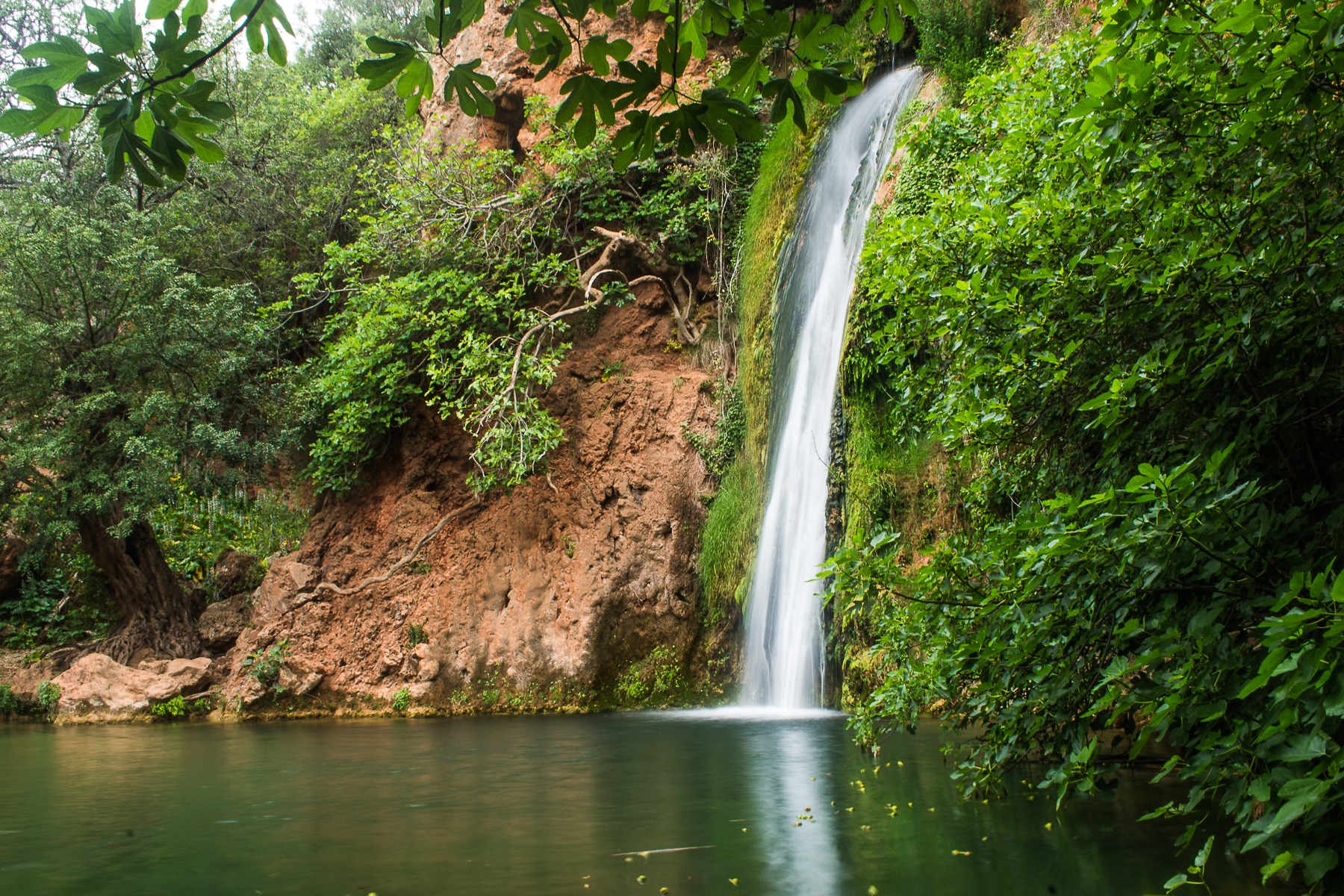 Queda do VigárioWaterfall · ~22 min drivePhoto: Magikknox, CC BY-SA 3.0 (via Wikimedia Commons)
 Via Algarviana - Ligação 4: Lagos-BensafrimHiking · ~32 min drivePhoto: Jose A., CC BY 2.0 (via Wikimedia Commons)
 Parque de Campismo da Ilha de FaroCamping · ~34 min drivePhoto: Sergei Gussev, CC BY 2.0 (via Wikimedia Commons)
Best time to visit Lagoa dos Salgados: área protegida de âmbito nacional
Best months: January–November. Best months have typical highs of 55–85 °F, lows of 30 °F or warmer (32 °F where there's no snowfall data), at most one snowy day and no more than 12 wet days.
Jan
59° / 50°
8 wet
Feb
60° / 51°
10 wet
Mar
64° / 53°
7 wet
Apr
65° / 55°
10 wet
May
69° / 58°
6 wet
Jun
76° / 63°
2 wet
Jul
81° / 66°
1 wet
Aug
81° / 67°
1 wet
Sep
77° / 66°
3 wet
Oct
71° / 61°
10 wet
Nov
65° / 56°
10 wet
Dec
61° / 53°
13 wet
Typical high / low (°F) and days with rain or snow, 1981–2010. Modelled for the 1 km square this place sits in (average height 10 ft), not measured at a weather station. We don't have this place's elevation, so higher spots nearby can run cooler. Snowfall days aren't in this data. Source: CHELSA 1 km climate model (1981–2010) and CRU TS 4.09 wet days. Data: CHELSA V2.1 climatologies (Karger et al. 2017), WSL (CC0 1.0); CRU TS 4.09 (Harris et al. 2020), University of East Anglia Climatic Research Unit. Contains public sector information licensed under the Open Government Licence v3.0. (Open Government Licence v3.0).
Map and trail data © OpenStreetMap contributors
