Jajachaca
- 16,104 ft
- summit
Jajachaca is a mountain in Cusco, Peru, with its summit at about 16,100 ft (4,908 m) above sea level. Mapped trails that come within about half a mile of the top include Peregrinacion De 24 Horas. The nearest town is Yanacancha, about 2.8 miles east of the summit. Peaks within about 3 miles include Yuracjaja, Condorsenja and Vilacirca. It is part of the Andes. Administratively, it is in Quispicanchi Province. These details come from Wikidata. In a typical November, the warmest month, highs reach about 44°F (7°C) and lows about 28°F (-2°C); in July, the coldest, highs are about 39°F (4°C) and lows about 21°F (-6°C). Precipitation falls on about 25 days in February, the wettest month, and about 2 days in July, the driest. These typical figures for 1981–2010 come from the CHELSA 1 km climate model and CRU TS 4.09. The location and elevation come from OpenStreetMap and the Copernicus 90 m elevation model. Check local access rules and conditions before you go.
Conditions and forecast
Daily highs and lows, wind and the chance of precipitation at the summit for the next 7 days, from the Open-Meteo model.
- Summit elevation
- 16,104 ft
We don't know of a mapped trail or route to the summit of Jajachaca. Plan the approach with local maps, a guidebook or a local guide, and check conditions before you go.
Questions about Jajachaca
How tall is Jajachaca?
16,104 ft (4,908 m).
Is there a trail to the top of Jajachaca?
We don't know of a mapped trail or route to the summit. Plan the approach with local maps, a guidebook or a local guide.
 Ausangate20,945 ft · Cusco, Peru1 route15 mi awayPhoto: Edubucher, CC BY-SA 3.0 (via Wikimedia Commons)
 Vinicunca16,522 ft · Cusco, Peru1 route21 mi awayPhoto: Christian Morales Callo, CC BY-SA 4.0 (via Wikimedia Commons)
 Salcantay20,574 ft · Cusco, Peru1 route89 mi awayPhoto: Draceane, CC BY-SA 4.0 (via Wikimedia Commons)
 Huayna Picchu8,835 ft · Cusco, Peru1 route92 mi awayPhoto: Mblument at en.wikipedia, CC BY-SA 3.0 (via Wikimedia Commons)
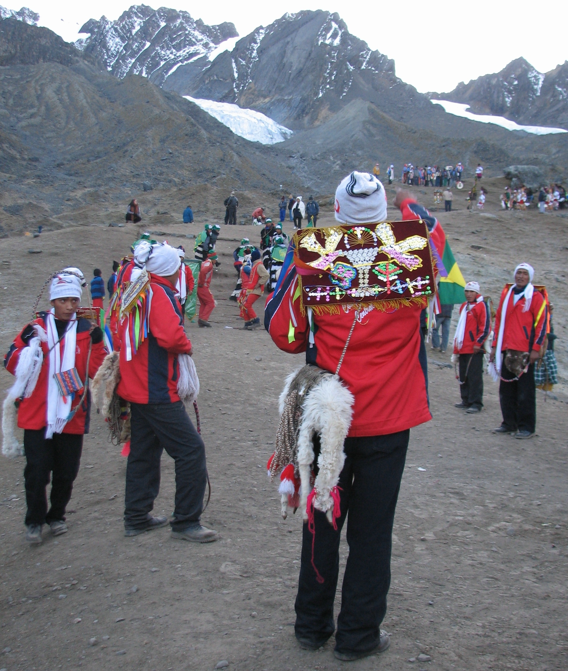 CinajaraSummit · ~5 min drivePhoto: AgainErick, CC BY-SA 3.0 (via Wikimedia Commons)
- AusangateSummit · ~26 min drivePhoto: Edubucher, CC BY-SA 3.0 (via Wikimedia Commons)
 Qullpa AnantaSummit · ~22 min drivePhoto: Edubucher, CC BY-SA 3.0 (via Wikimedia Commons)
 Hatun UmaSummit · ~25 min drivePhoto: Ausangatecusco, CC BY-SA 4.0 (via Wikimedia Commons)
- YuracjajaSummit · ~1 min drive
- CondorsenjaSummit · ~4 min drive
- VilacircaSummit · ~4 min drive
- QuechajajaSummit · ~8 min drive
- VelacotaSummit · ~11 min drive
- HuillolluniSummit · ~13 min drive

Map and trail data © OpenStreetMap contributors
