Chiaracce
- 16,364 ft
- summit
Chiaracce is a mountain in Cusco, Peru, with its summit at about 16,360 ft (4,988 m) above sea level. No mapped trail reaches the top in OpenStreetMap, so plan the approach with local maps or a guide. The nearest town is Chillihua, about 2.0 miles north of the summit. Peaks within about 3 miles include Vilapata and Chiaraje. It is part of the Andes. These details come from Wikidata. In a typical December, the warmest month, highs reach about 46°F (8°C) and lows about 29°F (-2°C); in July, the coldest, highs are about 44°F (7°C) and lows about 20°F (-6°C). Precipitation falls on about 24 days in February, the wettest month, and about 2 days in July, the driest. These typical figures for 1981–2010 come from the CHELSA 1 km climate model and CRU TS 4.09. The location and elevation come from OpenStreetMap and the Copernicus 90 m elevation model. Check local access rules and conditions before you go.
Conditions and forecast
Daily highs and lows, wind and the chance of precipitation at the summit for the next 7 days, from the Open-Meteo model.
- Summit elevation
- 16,364 ft
We don't know of a mapped trail or route to the summit of Chiaracce. Plan the approach with local maps, a guidebook or a local guide, and check conditions before you go.
Questions about Chiaracce
How tall is Chiaracce?
16,364 ft (4,988 m).
Is there a trail to the top of Chiaracce?
We don't know of a mapped trail or route to the summit. Plan the approach with local maps, a guidebook or a local guide.
 Yana KhuchillaSummit · ~23 min drivePhoto: Hugh Llewelyn, CC BY-SA 2.0 (via Wikimedia Commons)
 Nevado CuliSummit · ~25 min drivePhoto: DchoquetwikiNew, CC BY-SA 4.0 (via Wikimedia Commons)
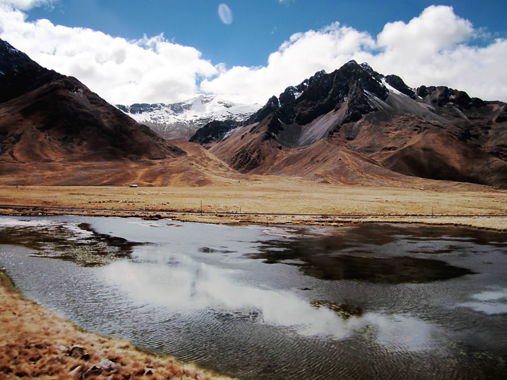 Nevado ChimbollaSummit · ~24 min drivePhoto: David Stanley from Nanaimo, Canada, CC BY 2.0 (via Wikimedia Commons)
- VilapataSummit · ~4 min drive
- ChiarajeSummit · ~4 min drive
- Cerro SurapataSummit · ~11 min drive
- PucaparinaSummit · ~12 min drive
- Cerro AucarutañaSummit · ~14 min drive
- SallatiraSummit · ~14 min drive
- HuayllahuitoSummit · ~16 min drive


Map and trail data © OpenStreetMap contributors
