Shenandoah National Park
National Park · VA
 NPS Photo / Neal Lewis
- 34
- activities
- 20
- things to do
About Shenandoah National Park
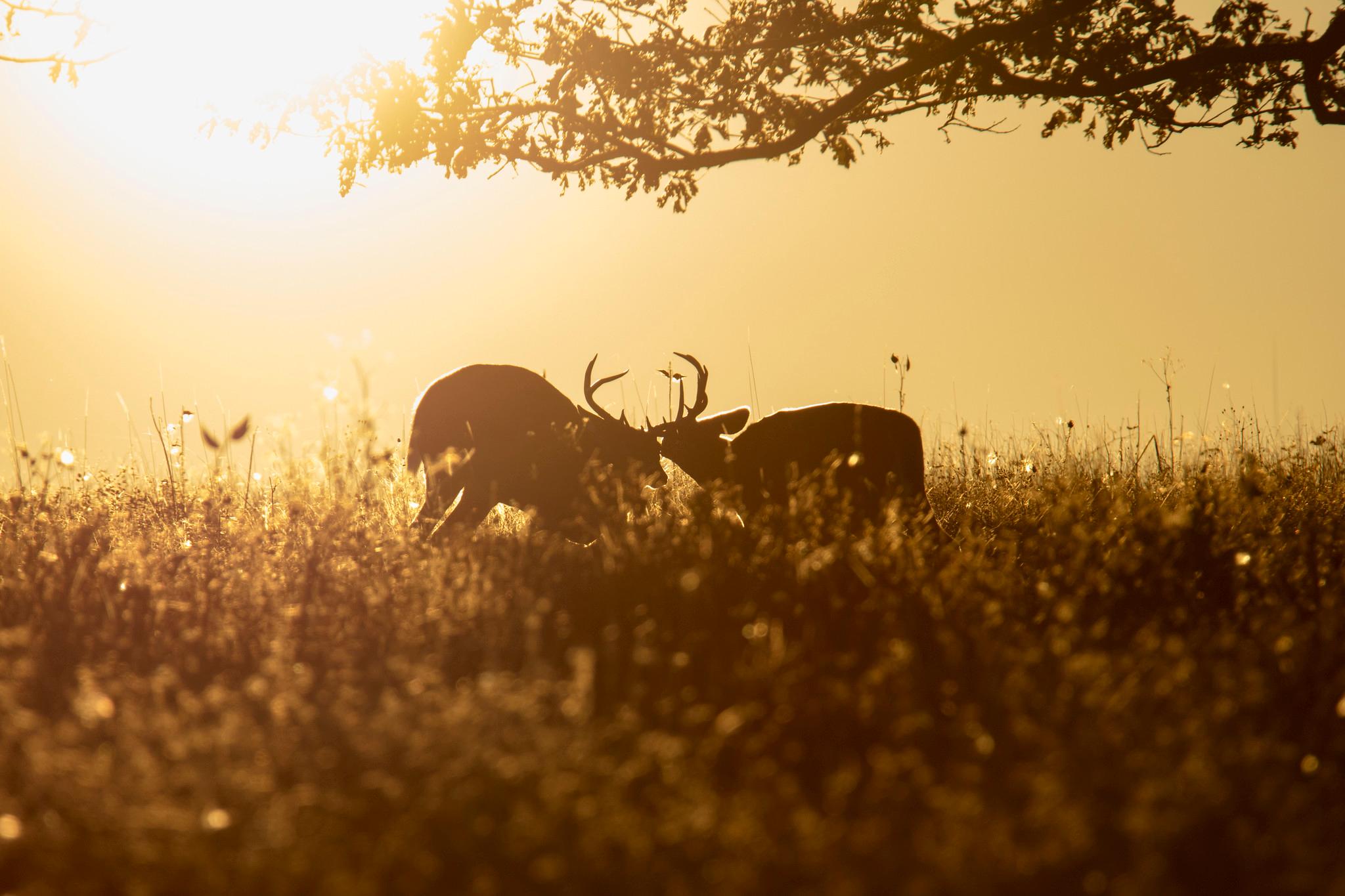
Just 75 miles from the bustle of Washington, D.C., Shenandoah National Park is a land bursting with cascading waterfalls, spectacular vistas, fields of wildflowers, and quiet wooded hollows. With over 200,000 acres of protected lands that are haven to deer, songbirds, and black bear, there's so much to explore...and your journey begins right here!
Things to do
6 of 20 Old Rag Circuit7-8 HoursPARK BOUNDARY | Visitors must obtain an Old Rag day-use ticket in advance of this hike. Pets are not allowed. Old Rag is a popular, very strenuous hike with sweeping views and several scrambles across large rocks. This route starts from the Old Rag parking area on the boundary of the Park.
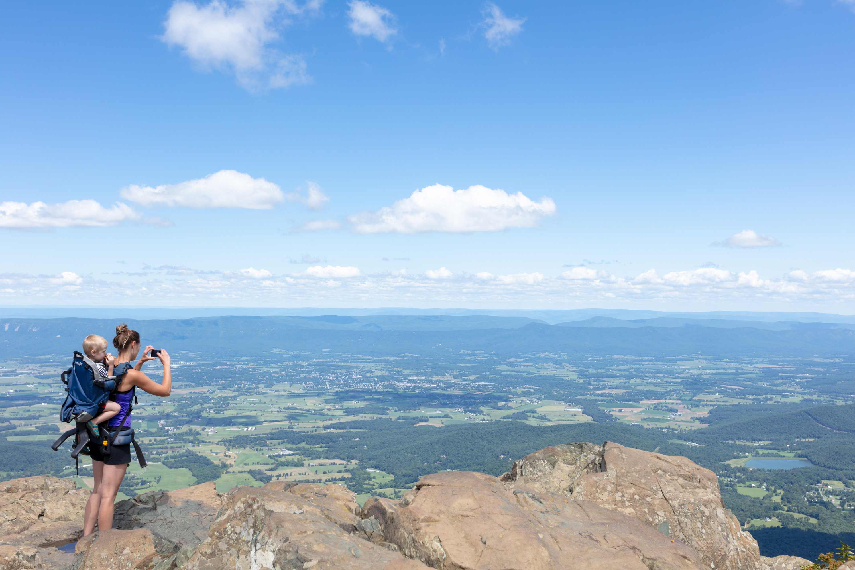 Stony Man1-2 HoursMILE 41.7 | Pets are not allowed on this hike. This enjoyable hike brings you to an outstanding view of the Shenandoah Valley, Massanutten Mountain, and beyond.
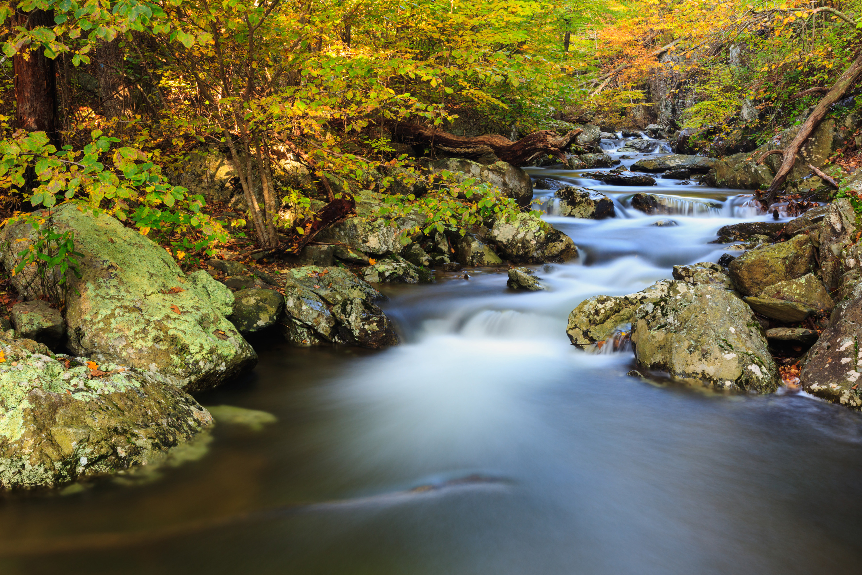 Whiteoak Falls (Lower)1-2 HoursPARK BOUNDARY | An easier hike to the base of the lower falls in Whiteoak Canyon. Note that a Park entrance fee is still required.
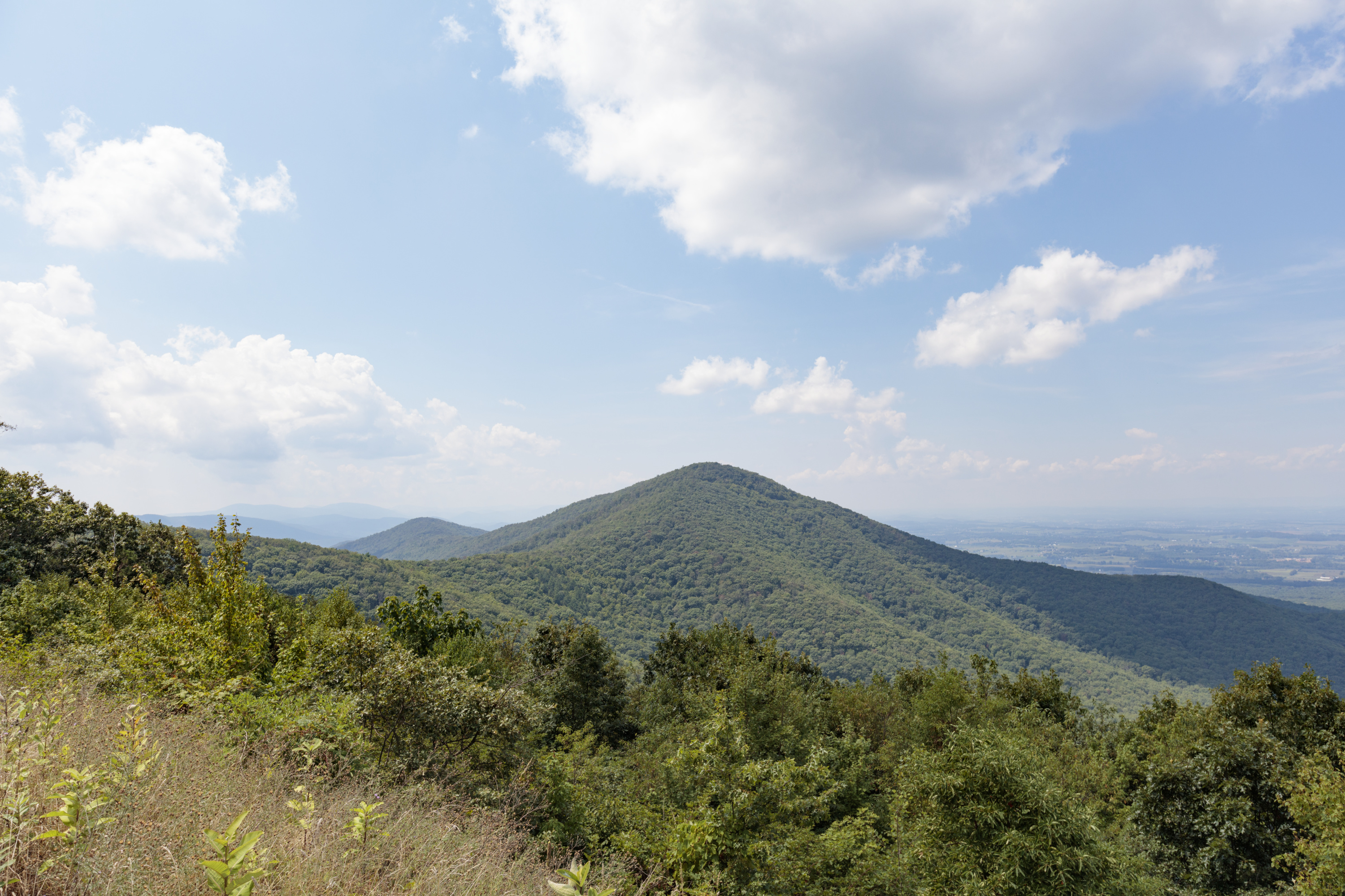 Turk Mountain2-3 HoursMILE 94.1 | A hike to the 2,981’ summit of Turk Mountain, located in the Shenandoah Wilderness, that provides a wonderful view to the west.
 Riprap - Wildcat Ridge8-9 HoursMILE 90 or 92.1 | This loop can be hiked from Riprap Parking or Wildcat Ridge Parking. It takes you through the forests of the Shenandoah Wilderness and over several stream crossings, while offering beautiful views of the hollows and valley to the west and north.
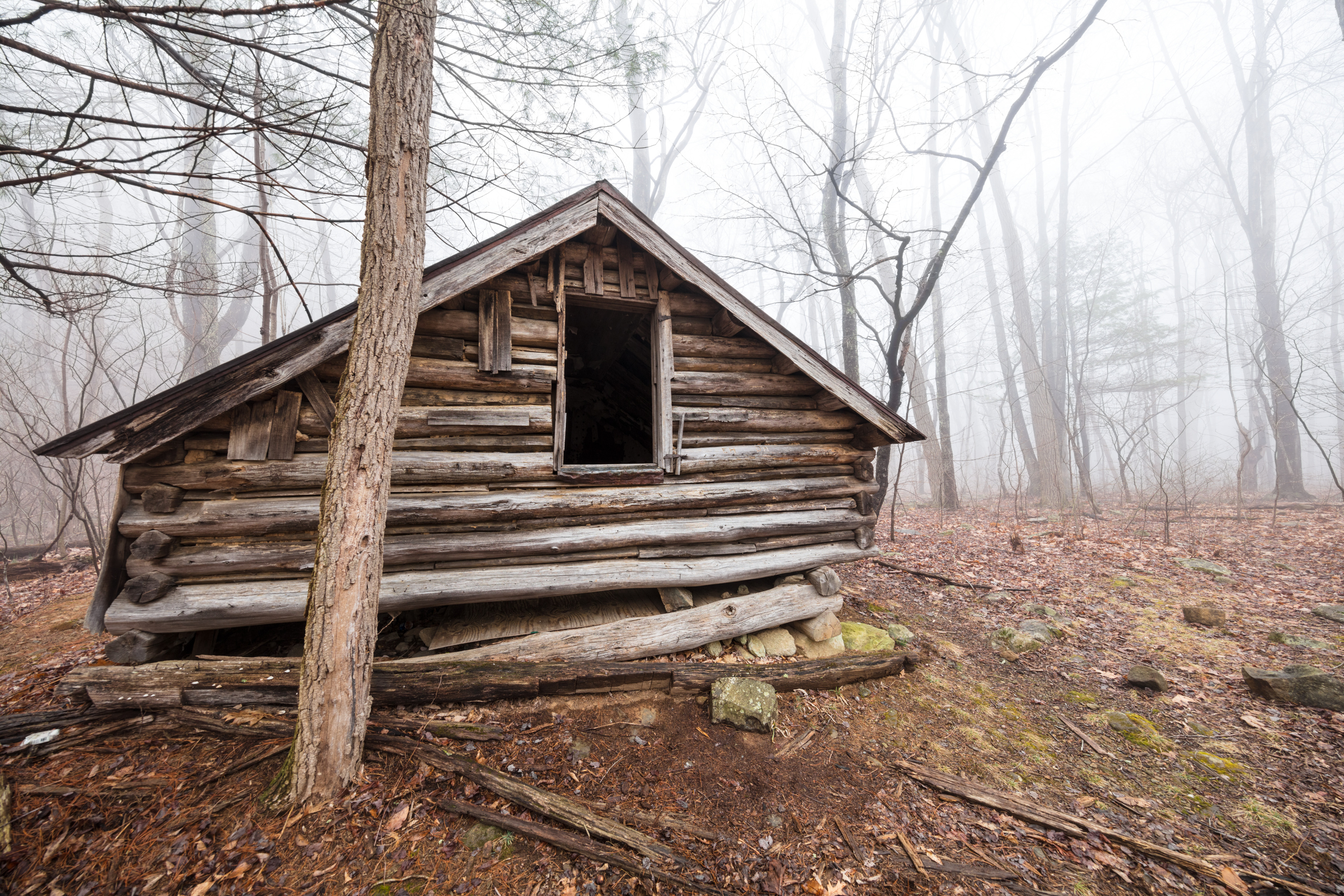 Nicholson Hollow6-7 HoursPARK BOUNDARY | An alternate option for visitors with pets who still wish to hike from the Old Rag parking area. This hike takes you through the Shenandoah Wilderness to Corbin Cabin, an old homesite built by a former resident, and features several stream crossings along the way.
Trails near Shenandoah National Park
- Powell Mtn Trailmoderate · 3.6 mi · 2024 ft gain
- Mill Prong Trailmoderate · 1 mi · 383 ft gain
- Laurel Prong Traileasy · 2.34 mi · 877 ft gain
- Fork Mtn Horse Traileasy · 1.3 mi · 715 ft gain
- Lewis Spring Falls Trailmoderate · 3.47 mi · 1408 ft gain
- Big Meadows Main Walkwayeasy · 1.65 mi · 160 ft gain
- Laurel Prong Horse Traileasy · 0.33 mi · 80 ft gain
- Tanners Ridge Horse Connector Traileasy · 1.96 mi · 298 ft gain
More to do nearby
- Powell Mtn Trailhiking · Powell Mtn Trail
- HazeltopHazeltop
- Mill Prong Trailhiking · Mill Prong Trail
- Laurel Prong Trailhiking · Laurel Prong Trail
- Lewis Spring FallsLewis Spring Falls
- Fork Mtn Horse Trailhiking · Fork Mtn Horse Trail
- Lewis Spring Falls Trailhiking · Lewis Spring Falls Trail
- Restroomtoilets · Restroom
