Rangiwahia domain
- At 1,812 ft
Rangiwahia domain is a campground in Manawatū-Whanganui, New Zealand, at about 1,810 ft above sea level. The nearest town is Mangaweka, about 8.6 miles southeast of the campground. Peaks within about 3 miles include Tawai. For camping, Apiti Domain campground is within about 6 miles. The location and elevation come from OpenStreetMap and the Copernicus 90 m elevation model. Check local access rules and conditions before you go.
Keep exploring — more campsites worth the drive
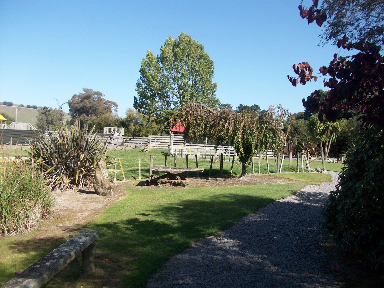 Photo: Nelson Pérez, CC BY-SA 3.0 (via Wikimedia Commons)
Flat Hills
~16 min drive
A campground in Manawatū-Whanganui, New Zealand.
 Photo: Geoff McKay from Palmerston North, New Zealand, CC BY 2.0 (via Wikimedia Commons)
Rangiwahia Hut
~11 min drive
An unstaffed wilderness hut in Manawatū-Whanganui, New Zealand.
BED
Apiti Domain campground
~11 min drive
A campground in Manawatū-Whanganui, New Zealand.
 Photo: Michal Klajban, CC BY-SA 4.0 (via Wikimedia Commons)
Iron Gate Hut
~15 min drive
An unstaffed wilderness hut in Manawatū-Whanganui, New Zealand.
BED
Mangaweka Campground
~14 min drive
A campground in Manawatū-Whanganui, New Zealand.
SEE
Alice Nash Memorial Heritage Lodge
~13 min drive
An unstaffed wilderness hut in Manawatū-Whanganui, New Zealand.
BED
Awastone
~14 min drive
A campground in Manawatū-Whanganui, New Zealand.
SEE
Kelly Knight Hut
~15 min drive
An unstaffed wilderness hut in Manawatū-Whanganui, New Zealand.
BED
Pohangina Base Campsite
~18 min drive
A campground in Manawatū-Whanganui, New Zealand.
SEE
Triangle Hut
~16 min drive
An unstaffed wilderness hut in Manawatū-Whanganui, New Zealand.


Conditions and forecast
Daily highs and lows, wind and the chance of precipitation at Rangiwahia domain for the next 7 days, from the Open-Meteo model.
Map and trail data © OpenStreetMap contributors
