Koitiata Camping Ground
A campground in Manawatū-Whanganui, New Zealand.
- At 10 ft
Koitiata Camping Ground is a campground in Manawatū-Whanganui, New Zealand, at about 10 ft above sea level. It is inside Koitiata Domain Recreation Reserve. Camping here is paid. Trails within about a mile include Te Araroa - 04 Manawatū-Whanganui - g Whanganui to Bulls. It is on the edge of Koitiata. The location and elevation come from OpenStreetMap and the Copernicus 90 m elevation model. Check local access rules and conditions before you go.
Make it a trip
Roamze builds the days around this campground: where to sleep, where to eat after, what to do if it rains. You change anything.
Keep exploring — more campsites worth the drive
 Photo: AxonsArachnida, CC BY-SA 3.0 (via Wikimedia Commons)
Duddings Lake Holiday Park
~13 min drive
A campground in Manawatū-Whanganui, New Zealand.
Rivertime Lodge
~37 min drive
A mountain hut in Manawatū-Whanganui, New Zealand.
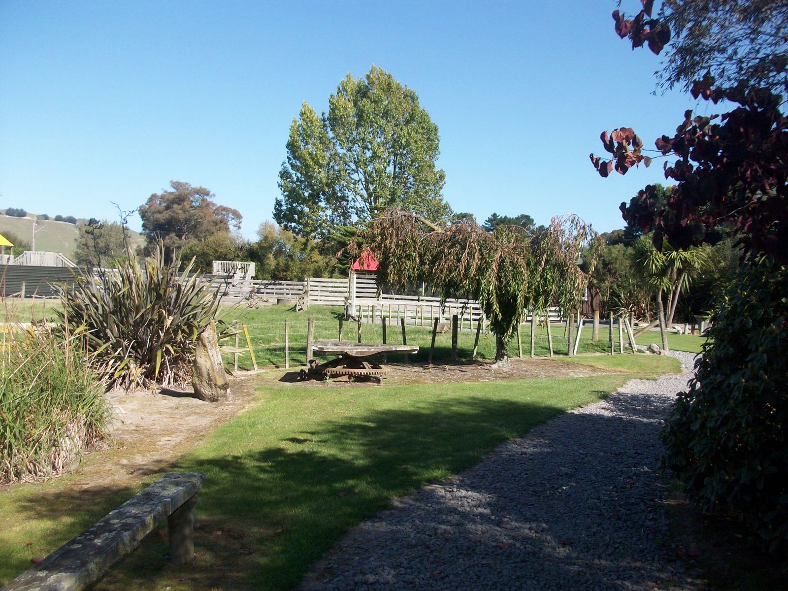 Photo: Nelson Pérez, CC BY-SA 3.0 (via Wikimedia Commons)
Flat Hills
~1h 2m drive
A campground in Manawatū-Whanganui, New Zealand.
Downes hut
~41 min drive
An unstaffed wilderness hut in Manawatū-Whanganui, New Zealand.
 Photo: (c) Grey Smith, some rights reserved (CC BY), CC BY 4.0 (via Wikimedia Commons)
Ashhurst Domain Campground
~1h 2m drive
A campground in Manawatū-Whanganui, New Zealand.
Motorimu Shelter
~1h 5m drive
An unstaffed wilderness hut in Manawatū-Whanganui, New Zealand.
 Photo: IdiotSavant, CC BY-SA 4.0 (via Wikimedia Commons)
Palmerston North Holiday Park
~55 min drive
A campground in Manawatū-Whanganui, New Zealand.
Tokamoru Shelter
~1h 8m drive
An unstaffed wilderness hut in Manawatū-Whanganui, New Zealand.
Carolines Outback Camping Ground
~21 min drive
A campground in Manawatū-Whanganui, New Zealand.
Punga Hut
~1h 8m drive
An unstaffed wilderness hut in Manawatū-Whanganui, New Zealand.


Conditions and forecast
Daily highs and lows, wind and the chance of precipitation at Koitiata Camping Ground for the next 7 days, from the Open-Meteo model.
Map and trail data © OpenStreetMap contributors
