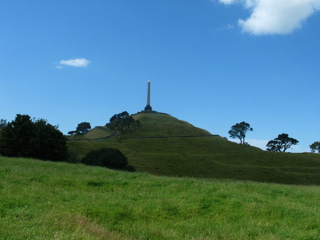
Maungakiekie / One Tree Hill
About
Maungakiekie / One Tree Hill is a mountain in Auckland, New Zealand, with its summit at about 600 ft (182 m) above sea level. Mapped trails that come within about half a mile of the top include Coast to Coast Walkway (Waitematā to Manukau). The nearest town is Auckland, about 3.5 miles south of the summit. Peaks within about 3 miles include Te Kōpuke / Tītīkōpuke / Mount Saint John, Te Kōpuke / Tītīkōpuke / Mount Saint John and Monte Cecilia. For camping, Ambury Campground and Motu Moana Scout Camp are within about 6 miles. The location and elevation come from OpenStreetMap and the Copernicus 90 m elevation model. Check local access rules and conditions before you go.
Summit Facts
Summit elevation
597 ft
Location
Maungakiekie / One Tree Hill
Auckland
Data © OpenStreetMap contributors, available under the Open Database License (ODbL). View or edit on OpenStreetMap.
Conditions and forecast
Daily highs and lows, wind and the chance of precipitation at Maungakiekie / One Tree Hill for the next 7 days, from the Open-Meteo model.
Plan this with Roamze
Tell Roamze when you're going and who's coming. It plans the days, gear and food around this place.
Map and trail data © OpenStreetMap contributors
