Kauri Walk
- 0.3 mi
- one way
- 148 ft
- climb
- 103 ft
- high point
- Point to point
- route
Kauri Walk is a 0.3-mile point-to-point route in Auckland, New Zealand, inside Āwhitu Regional Park. It runs between about 0 ft and 100 ft above sea level, with roughly 150 ft of climbing one way. It is mapped as a named hiking route, with the sections joined into one trail here. The nearest town is Grahams Beach, about 2.8 miles south of the trailhead. Peaks within about 3 miles include Pierces Hill. For camping, Peninsula Campground and Brook Campground are within about 6 miles. Distances, elevations and the route shape here come from OpenStreetMap and the Copernicus 90 m elevation model. Trails, access rules and conditions change, so check locally before you go.
Keep exploring — more trails worth the drive
 Photo: Robin Capper, CC BY 2.0 (via Wikimedia Commons)
Mount Donald McLean Walk
~15 min drive
A 0.3-mile lollipop loop in Auckland, New Zealand.
 Photo: Bjankuloski06, CC BY 4.0 (via Wikimedia Commons)
Upper Nihotupu Walk
~21 min drive
An out-and-back trail, 0.4 miles each way (0.7 miles round trip) in Auckland, New Zealand.
Ching Track
~12 min drive
An out-and-back trail, 0.5 miles each way (1.0 miles round trip) in Auckland, New Zealand.
Settlers Valley Walk
~1 min drive
A 2.1-mile loop in Auckland, New Zealand.
Kakamatua Inlet Track
~12 min drive
An out-and-back trail, 0.5 miles each way (1.0 miles round trip) in Auckland, New Zealand.
Manukau Timber Company Heritage Trail
~14 min drive
A 0.5-mile loop in Auckland, New Zealand.
Panto Track
~13 min drive
An out-and-back trail, 1.8 miles each way (3.6 miles round trip) in Auckland, New Zealand.
Beveridge Track
~18 min drive
An out-and-back trail, 1.3 miles each way (2.5 miles round trip) in Auckland, New Zealand.
Fletcher Track
~14 min drive
An out-and-back trail, 1.8 miles each way (3.5 miles round trip) in Auckland, New Zealand.
Te Ara O Whangamaire
~20 min drive
An out-and-back trail, 0.5 miles each way (1.0 miles round trip) in Auckland, New Zealand.
Also worth it near here
 Photo: Gadfium, CC0 (via Wikimedia Commons)
Hudsons Beach
~5 min drive
 Photo: Gadfium, CC0 (via Wikimedia Commons)
Orua Bay Beach Motor Camp
~7 min drive
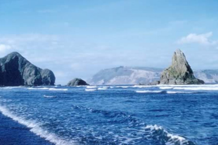 Photo: The original uploader was Ingolfson at English Wikipedia.
(Original text: Denis Wilford.), CC BY 2.5 (via Wikimedia Commons)
Manukau Heads
~11 min drive
 Photo: Rock Zhu, CC BY 3.0 (via Wikimedia Commons)
Cornwallis Boat Ramp
~11 min drive
 Photo: itravelNZ® - New Zealand in your pocket™, CC BY 2.0 (via Wikimedia Commons)
Karamatura Falls
~16 min drive
Conditions and forecast
Daily highs and lows, wind and the chance of precipitation at Kauri Walk for the next 7 days, from the Open-Meteo model.
Map and trail data © OpenStreetMap contributors
