Singu Chuli
 Photo: Manuel Velazquez, CC BY 3.0 (via Wikimedia Commons)
- 21,329 ft
- summit
Singu Chuli is a mountain in Gandaki Province, Nepal, with its summit at about 21,330 ft (6,501 m) above sea level. It stands inside Annapurna Conservation Area. No mapped trail reaches the top in OpenStreetMap, so plan the approach with local maps or a guide. The nearest town is Khangsar, about 7.9 miles southwest of the summit. Peaks within about 3 miles include Tarke Kang, Tharpu Chuli and Khāṅsar Kāṅ. The location and elevation come from OpenStreetMap and the Copernicus 90 m elevation model. Check local access rules and conditions before you go.
Conditions and forecast
Daily highs and lows, wind and the chance of precipitation at the summit for the next 7 days, from the Open-Meteo model.
- Summit elevation
- 21,329 ft
We don't know of a mapped trail or route to the summit of Singu Chuli. Plan the approach with local maps, a guidebook or a local guide, and check conditions before you go.
Questions about Singu Chuli
How tall is Singu Chuli?
21,329 ft (6,501 m).
Is there a trail to the top of Singu Chuli?
We don't know of a mapped trail or route to the summit. Plan the approach with local maps, a guidebook or a local guide.
 Tharpu ChuliSummit · ~3 min drivePhoto: PrajwalMohan, CC BY-SA 4.0 (via Wikimedia Commons)
 Annapurna EastSummit · ~5 min drivePhoto: Rosan Harmens rooszan, CC0 (via Wikimedia Commons)
 Annapurna Middle PeakSummit · ~6 min drivePhoto: Maris Teteris, CC BY 3.0 (via Wikimedia Commons)
 AsapurnaSummit · ~6 min drivePhoto: Saroj Pandey, CC BY-SA 3.0 (via Wikimedia Commons)
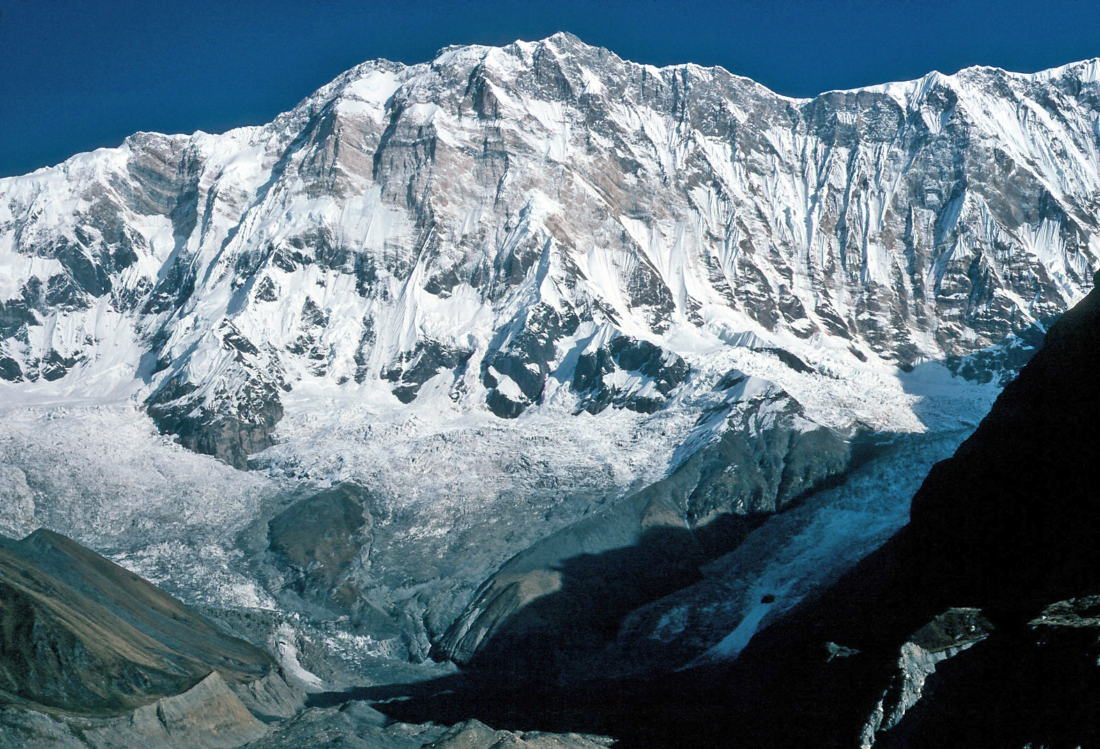 Annapurna ISummit · ~7 min drivePhoto: Wolfgang Beyer, CC BY-SA 3.0 (via Wikimedia Commons)
 Baraha Shikhar (Annapurna Fang Peak)Summit · ~9 min drivePhoto: Wes Krause, CC BY-SA 3.0 (via Wikimedia Commons)
 GangapurnaSummit · ~9 min drivePhoto: TomGonzales, CC BY 3.0 (via Wikimedia Commons)
 HiunchuliSummit · ~10 min drivePhoto: GurkhaBlades, CC BY-SA 4.0 (via Wikimedia Commons)
 Gandharwa ChuliSummit · ~10 min drivePhoto: Mithunkunwar9, CC BY-SA 4.0 (via Wikimedia Commons)
 Annapurna IIISummit · ~11 min drivePhoto: TomGonzales, CC BY-SA 3.0 (via Wikimedia Commons)


Map and trail data © OpenStreetMap contributors
