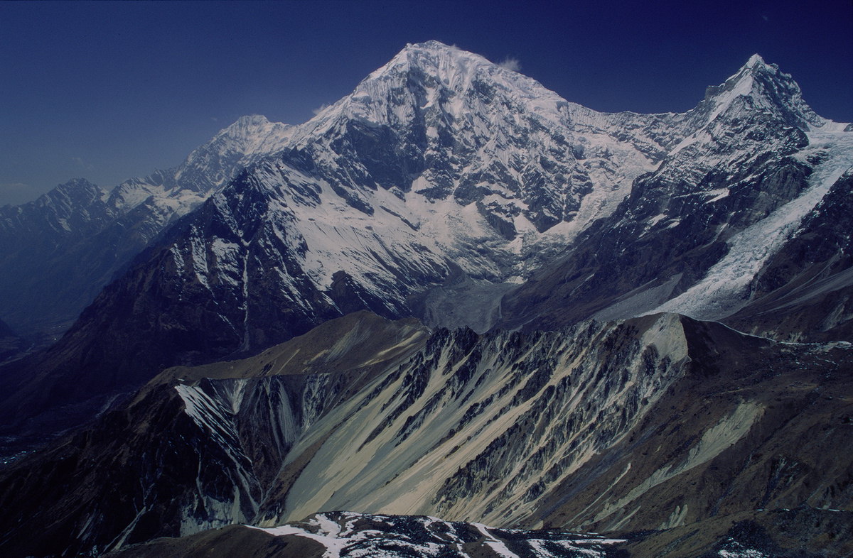
Shalbachum
 Photo: Karim68, CC BY-SA 4.0 (via Wikimedia Commons)
- 21,880 ft
- summit
Shalbachum is a mountain in Bagmati Province, Nepal, with its summit at about 21,880 ft (6,669 m) above sea level. No mapped trail reaches the top in OpenStreetMap, so plan the approach with local maps or a guide. The nearest town is Sêrqung, about 13 miles east of the summit. Peaks within about 3 miles include Yansa Tsenji, Ghāṅnā and Penzom Himal. The location and elevation come from OpenStreetMap and the Copernicus 90 m elevation model. Check local access rules and conditions before you go.
Conditions and forecast
Daily highs and lows, wind and the chance of precipitation at the summit for the next 7 days, from the Open-Meteo model.
- Summit elevation
- 21,880 ft
We don't know of a mapped trail or route to the summit of Shalbachum. Plan the approach with local maps, a guidebook or a local guide, and check conditions before you go.
Questions about Shalbachum
How tall is Shalbachum?
21,880 ft (6,669 m).
Is there a trail to the top of Shalbachum?
We don't know of a mapped trail or route to the summit. Plan the approach with local maps, a guidebook or a local guide.
 Yala PeakSummit · ~4 min drivePhoto: Ahtih at English Wikipedia, CC BY 3.0 (via Wikimedia Commons)
 Tserko RiSummit · ~7 min drivePhoto: Ummidnp, CC BY-SA 4.0 (via Wikimedia Commons)
 KimshungSummit · ~8 min drivePhoto: Ahtih (talk), CC BY-SA 3.0 (via Wikimedia Commons)
 Lower Kyāṅjiṅ RiSummit · ~9 min drivePhoto: Bcd4e6, CC BY-SA 4.0 (via Wikimedia Commons)
 Langshisa RiSummit · ~11 min drivePhoto: Paper Clip (Geoff McDonald), Public domain (via Wikimedia Commons)
 Langtang LirungSummit · ~12 min drivePhoto: Sergey Ashmarin, CC BY-SA 3.0 (via Wikimedia Commons)
 Pongen DopkuSummit · ~13 min drivePhoto: SonamGT, CC BY-SA 4.0 (via Wikimedia Commons)
 GanchenpoSummit · ~13 min drivePhoto: Bijay Chaurasia, CC BY-SA 4.0 (via Wikimedia Commons)
 Naya KangaSummit · ~15 min drivePhoto: Anil Simkhada, CC BY-SA 3.0 (via Wikimedia Commons)
 Baden-Powell Scout PeakSummit · ~16 min drivePhoto: Finnish Scouts Nepal Expedition 2010, CC BY 3.0 (via Wikimedia Commons)


Map and trail data © OpenStreetMap contributors
