Grautheller – Litle Aurådal
A 11-mile point-to-point route in Rogaland, Norway.
- 11.0 mi
- one way
- 2,759 ft
- climb
- 3,650 ft
- high point
- Point to point
- route
Grautheller – Litle Aurådal is a 11-mile point-to-point route in Rogaland, Norway, inside Setesdal Vesthei Ryfylkeheiane landskapsvernområde. It runs between about 2,550 ft and 3,650 ft above sea level, with roughly 2,760 ft of climbing one way. It is a mountain path with steeper and uneven sections, so wear proper hiking shoes. It is mapped as a named hiking route, with the sections joined into one trail here. The nearest town is Ådneram, about 12 miles north of the trailhead. Peaks within about 3 miles include Loneknuten, Svodhellerheia and Auråhorten. Distances, elevations and the route shape here come from OpenStreetMap and the Copernicus 90 m elevation model. Trails, access rules and conditions change, so check locally before you go.
Make it a trip
Roamze builds the days around this trail: where to sleep, where to eat after, what to do if it rains. You change anything.
Keep exploring — more trails worth the drive
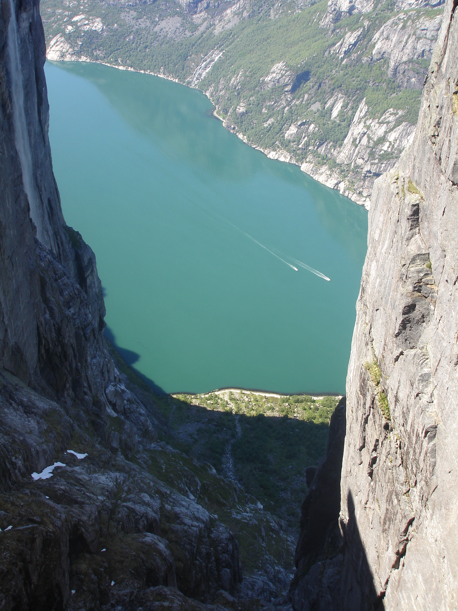
 Photo: Falk Lademann from Fällanden, Switzerland, CC BY 2.0 (via Wikimedia Commons)
Lysefjorden Turisthytte – Stakken
~20 min drive
A 16-mile point-to-point route in Rogaland, Norway.
Akslaråtjørna – Langavatn
~28 min drive
A 2.4-mile point-to-point route in Rogaland, Norway.
Grautheller – Nilsebu
~6 min drive
A 5.9-mile point-to-point route in Rogaland, Norway.
Grautheller – Nilsebu
~9 min drive
A 2.6-mile point-to-point route in Agder, Norway.
Lysefjorden Turisthytte – Grautheller
~10 min drive
A 6.5-mile point-to-point route in Rogaland, Norway.
Traumevatn – Heibergtunet Storevatn
~10 min drive
A 4.4-mile point-to-point route in Agder, Norway.
Eidavatn – Storsteinen
~11 min drive
A 7.4-mile point-to-point route in Agder, Norway.
Litle Aurådal – Storsteinen
~11 min drive
A 8.4-mile point-to-point route in Agder, Norway.
Kringlevatn – Heibergtunet Storevatn
~11 min drive
A 7.2-mile point-to-point route in Agder, Norway.
Grasdalen – Nilsebu
~12 min drive
A 2.6-mile point-to-point route in Rogaland, Norway.

Conditions and forecast
Daily highs and lows, wind and the chance of precipitation at Grautheller – Litle Aurådal for the next 7 days, from the Open-Meteo model.
Map and trail data © OpenStreetMap contributors
