Blåfjellenden – Langavatn
- 5.5 mi
- one way
- 619 ft
- climb
- 3,097 ft
- high point
- Point to point
- route
Blåfjellenden – Langavatn is a 5.5-mile point-to-point route in Rogaland, Norway, inside Frafjordheiane landskapsvernområde. It runs between about 2,060 ft and 3,100 ft above sea level, with roughly 620 ft of climbing one way. It is a mountain path with steeper and uneven sections, so wear proper hiking shoes. It is mapped as a named hiking route, with the sections joined into one trail here. The nearest town is Lysebotn, about 4.5 miles south of the trailhead. Peaks within about 3 miles include Strålaus, Gaupefjellet and Kjerag. For camping, Kjerag Lysebotn Camping Resort is within about 6 miles. There are 6 other mapped trails within about 3 miles, so you can combine or extend the outing. Distances, elevations and the route shape here come from OpenStreetMap and the Copernicus 90 m elevation model. Trails, access rules and conditions change, so check locally before you go.
Keep exploring — more trails worth the drive
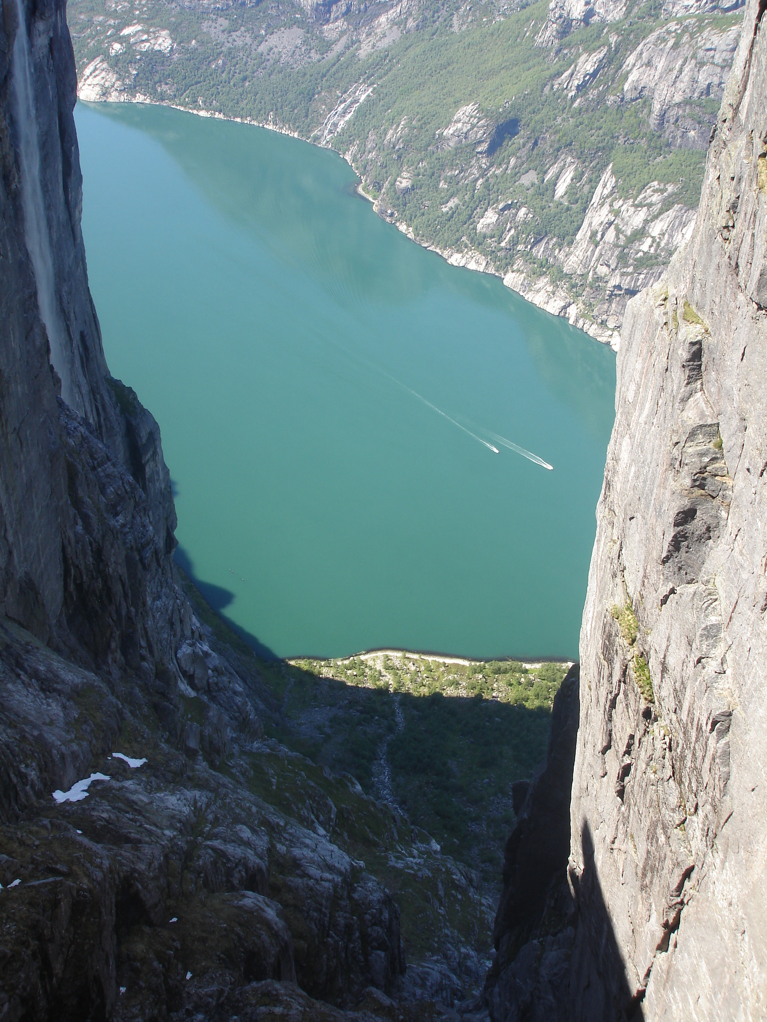
 Photo: Falk Lademann from Fällanden, Switzerland, CC BY 2.0 (via Wikimedia Commons)
Lysefjorden Turisthytte – Stakken
~8 min drive
A 16-mile point-to-point route in Rogaland, Norway.
HIKE
Akslaråtjørna – Langavatn
Next door
A 2.4-mile point-to-point route in Rogaland, Norway.
HIKE
Småsilhornet
~28 min drive
A 0.4-mile point-to-point route in Rogaland, Norway.
HIKE
Sandvatn – Børsteinen
~5 min drive
A 10-mile point-to-point route in Agder, Norway.
HIKE
Skåpet – Flørli
~12 min drive
A 4.5-mile point-to-point route in Rogaland, Norway.
HIKE
Skjerajuvet
~30 min drive
A 0.6-mile point-to-point route in Rogaland, Norway.
HIKE
Sandvatn – Langavatn
~5 min drive
A 3.7-mile point-to-point route in Agder, Norway.
HIKE
Vinddalen – Skåpet
~18 min drive
A 1.0-mile point-to-point route in Rogaland, Norway.
HIKE
Mangærne
~7 min drive
A 4.9-mile point-to-point route in Agder, Norway.
HIKE
Skrøyla – Skåpet
~24 min drive
A 7.5-mile point-to-point route in Rogaland, Norway.


Conditions and forecast
Daily highs and lows, wind and the chance of precipitation at Blåfjellenden – Langavatn for the next 7 days, from the Open-Meteo model.
Map and trail data © OpenStreetMap contributors
