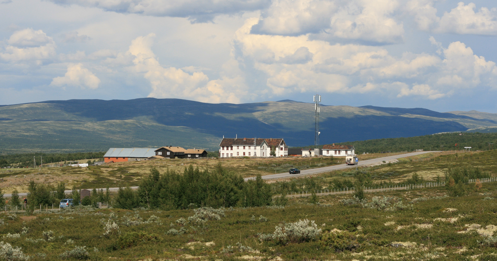
Fokstugu landskapsvernområde
About
Fokstugu landskapsvernområde is a protected natural area in Innlandet, Norway, covering about 18,800 acres (76 km²). Its peaks include Grønsæterhøe, Grisunghøe and Storhøi. Elevations inside the park range from about 4,460 ft to 4,650 ft. The nearest town is Dombås, about 5.4 miles northeast of the park's centre. The boundary comes from OpenStreetMap. Check the park's own rules, fees and opening hours before you go.
Park size
18,789 acres
Location
Fokstugu landskapsvernområde
Innlandet
Data © OpenStreetMap contributors, available under the Open Database License (ODbL). View or edit on OpenStreetMap.
Conditions and forecast
Daily highs and lows, wind and the chance of precipitation at Fokstugu landskapsvernområde for the next 7 days, from the Open-Meteo model.
Plan this with Roamze
Tell Roamze when you're going and who's coming. It plans the days, gear and food around this place.
Map and trail data © OpenStreetMap contributors
