Torfinnsbu – Gjendebu
- 8.8 mi
- one way
- 2,060 ft
- climb
- 4,932 ft
- high point
- Point to point
- route
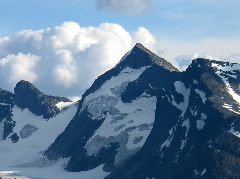
Torfinnsbu – Gjendebu is a 8.8-mile point-to-point route in Innlandet, Norway, inside Jotunheimen nasjonalpark. It runs between about 3,230 ft and 4,930 ft above sea level, with roughly 2,060 ft of climbing one way. It is mapped as a named hiking route, with the sections joined into one trail here. The nearest town is Tyinkrysset, about 19 miles northeast of the trailhead. Peaks within about 3 miles include Gjendetunga, Memurutunga and Nørdre Svartdalspiggen. Distances, elevations and the route shape here come from OpenStreetMap and the Copernicus 90 m elevation model. Trails, access rules and conditions change, so check locally before you go.
Keep exploring — more trails worth the drive
 Photo: Honza and Ivana Ebr, CC BY 3.0 (via Wikimedia Commons)
Memurubu – Surtningssue
~9 min drive
A 6.0-mile point-to-point route in Innlandet, Norway.
HIKE
Jo-stigen
~15 min drive
A 0.8-mile point-to-point route in Innlandet, Norway.
HIKE
Vargebakkan – Knutshøe
~18 min drive
A 2.4-mile point-to-point route in Innlandet, Norway.
 Photo: Annabel, CC BY-SA 3.0 (via Wikimedia Commons)
Memurubu – Surtningsui
~9 min drive
A 6.0-mile point-to-point route in Innlandet, Norway.
HIKE
Bygdin – Yksendalsbu
~23 min drive
A 13-mile point-to-point route in Innlandet, Norway.
 Photo: HaakonS, CC BY 3.0 (via Wikimedia Commons)
Gjendebu – Gjendesheim
~19 min drive
A 11-mile point-to-point route in Innlandet, Norway.
 Photo: Cameron Hjelmstad, CC BY-SA 4.0 (via Wikimedia Commons)
Spiterstulen – Galdhøpiggen
~24 min drive
A 3.8-mile point-to-point route in Innlandet, Norway.
HIKE
Fondsbu – Torfinnsbu
~8 min drive
A 9.1-mile point-to-point route in Innlandet, Norway.
HIKE
Skogadalsbøen – Gjendebu
~12 min drive
A 4.3-mile point-to-point route in Innlandet, Norway.
HIKE
Olavsbu – Gjendebu
~12 min drive
A 6.6-mile point-to-point route in Vestland, Norway.
Also worth it near here

Conditions and forecast
Daily highs and lows, wind and the chance of precipitation at Torfinnsbu – Gjendebu for the next 7 days, from the Open-Meteo model.
Map and trail data © OpenStreetMap contributors
