El nido del Águila
- At 9,271 ftHigh camp: expect cold nights, even in summer
El nido del Águila is a campground in State of Mexico, Mexico, at about 9,270 ft above sea level. The nearest town is San Jerónimo Zacapexco, about 4.2 miles southwest of the campground. For camping, Presa del Llano is within about 6 miles. The location and elevation come from OpenStreetMap and the Copernicus 90 m elevation model. Check local access rules and conditions before you go.
Keep exploring — more campsites worth the drive
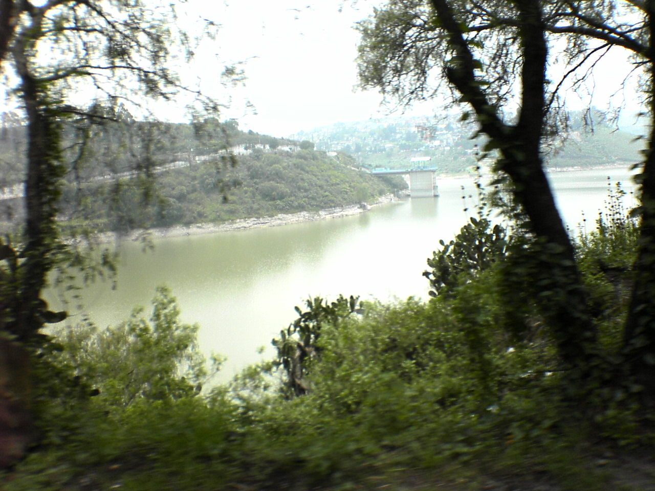
 Photo: ArCaRa, CC BY 3.0 (via Wikimedia Commons)
Explanada Xolo
~47 min drive
A campground in State of Mexico, Mexico.
 Photo: ed_devilinside, CC BY-SA 3.0 (via Wikimedia Commons)
Presa del Llano
~5 min drive
A campground in State of Mexico, Mexico.
Abekany Camp
~15 min drive
A campground in State of Mexico, Mexico.
Mirador De Los Tres Cerros "Las Peñas"
~18 min drive
A campground in State of Mexico, Mexico.
Peñas de dexcani alto
~28 min drive
A campground in State of Mexico, Mexico.
SÉPTIMA BGDA POL MIL
~31 min drive
A campground in State of Mexico, Mexico.
Scouts
~40 min drive
A campground in State of Mexico, Mexico.
Las Presas
~44 min drive
A campground in State of Mexico, Mexico.
Patio Parque
~50 min drive
A campground in State of Mexico, Mexico.
Zona de campismo
~1h drive
A campground in Mexico City, Mexico.
Conditions and forecast
Daily highs and lows, wind and the chance of precipitation at El nido del Águila for the next 7 days, from the Open-Meteo model.
Map and trail data © OpenStreetMap contributors
