El Tecolote
A campground in Sonora, Mexico.
Best time to visit El Tecolote
Best months: November–March. Best months have typical highs of 55–85 °F, lows of 30 °F or warmer (32 °F where the station doesn't record snow), at most one snowy day and no more than 12 wet days.
Jan
71° / 41°
3 wet
Feb
73° / 43°
4 wet
Mar
79° / 47°
3 wet
Apr
86° / 52°
1 wet
May
93° / 59°
1 wet
Jun
102° / 68°
1 wet
Jul
104° / 76°
4 wet
Aug
103° / 75°
6 wet
Sep
99° / 70°
3 wet
Oct
90° / 59°
2 wet
Nov
79° / 48°
2 wet
Dec
70° / 41°
4 wet
Typical high / low (°F) and days with rain or snow, 1991–2020. Measured at Organ Pipe Cactus Nm, AZ, 33.6 mi away at 1,678 ft. The station sits about 800 ft higher than this place, so expect it a little warmer here. Source: NOAA NCEI U.S. Climate Normals 1991–2020.
- At 834 ft
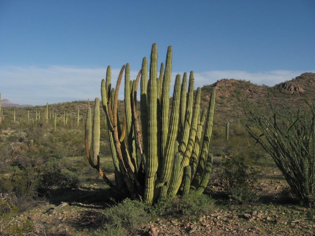
El Tecolote is a campground in Sonora, Mexico, at about 830 ft above sea level. It is inside Reserva de la Biosfera El Pinacate y Gran Desierto de Altar. Peaks within about 3 miles include La Escoria. The location and elevation come from OpenStreetMap and the Copernicus 90 m elevation model. Check local access rules and conditions before you go.
Keep exploring — more campsites worth the drive
Campamento El Cono Rojo
~16 min drive
A campground in Sonora, Mexico.
Papago Mine
~26 min drive
Papago Mine is a campground in Arizona.
Group Camping Area
~56 min drive
Group Camping Area is a campground in Arizona at about 1,699 feet. It is managed by the National Park Service.
Twin Peaks Campground
~56 min drive
Twin Peaks Campground is a campground in Arizona at about 1,700 feet, with 208 sites. It is managed by the National Park Service.
Alamo Canyon Campground
~1h 8m drive
Alamo Canyon Campground is a campground in Arizona at about 2,292 feet. It is managed by the National Park Service.
Gunsight Wash Dispersed Camping
~1h 14m drive
Gunsight Wash Dispersed Camping is a campground in Arizona at about 1,797 feet. It is managed by the Bureau of Land Management.
Shadow Ridge RV Park
~1h 16m drive
Shadow Ridge RV Park is a campground in Arizona at about 1,820 feet, with 112 sites.

Conditions and forecast
Daily highs and lows, wind and the chance of precipitation at El Tecolote for the next 7 days, from the Open-Meteo model.
Map and trail data © OpenStreetMap contributors
