Punta el Descanso
- 413 ft
- summit
- Jan–Dec
- best months
Punta el Descanso is a mountain in Baja California, Mexico, with its summit at about 410 ft (126 m) above sea level. No mapped trail reaches the top in OpenStreetMap, so plan the approach with local maps or a guide. The nearest town is Popotla, about 1.0 miles southeast of the summit. Peaks within about 3 miles include Cerro las Cuevas. In a typical August, the warmest month, highs reach about 71°F (22°C) and lows about 65°F (18°C); in February, the coldest, highs are about 61°F (16°C) and lows about 53°F (12°C). Precipitation falls on about 6 days in January, the wettest month, and about 0 days in June, the driest. These typical figures for 1981–2010 come from the CHELSA 1 km climate model and CRU TS 4.09. The location and elevation come from OpenStreetMap and the Copernicus 90 m elevation model. Check local access rules and conditions before you go.
Conditions and forecast
Daily highs and lows, wind and the chance of precipitation at the summit for the next 7 days, from the Open-Meteo model.
- Summit elevation
- 413 ft
We don't know of a mapped trail or route to the summit of Punta el Descanso. Plan the approach with local maps, a guidebook or a local guide, and check conditions before you go.
Questions about Punta el Descanso
How tall is Punta el Descanso?
413 ft (126 m).
Is there a trail to the top of Punta el Descanso?
We don't know of a mapped trail or route to the summit. Plan the approach with local maps, a guidebook or a local guide.
 Otay Mountain3,566 ft · California1 route24 mi awayPhoto: RightCowLeftCoast, CC BY-SA 4.0 (via Wikimedia Commons)
- Mother Miguel Mountain1,526 ft · California1 route29 mi away
 San Miguel Mountain2,565 ft · California1 route30 mi awayPhoto: Wasquewhat, CC BY-SA 4.0 (via Wikimedia Commons)
- Gaskill Peak3,833 ft · California1 route37 mi away
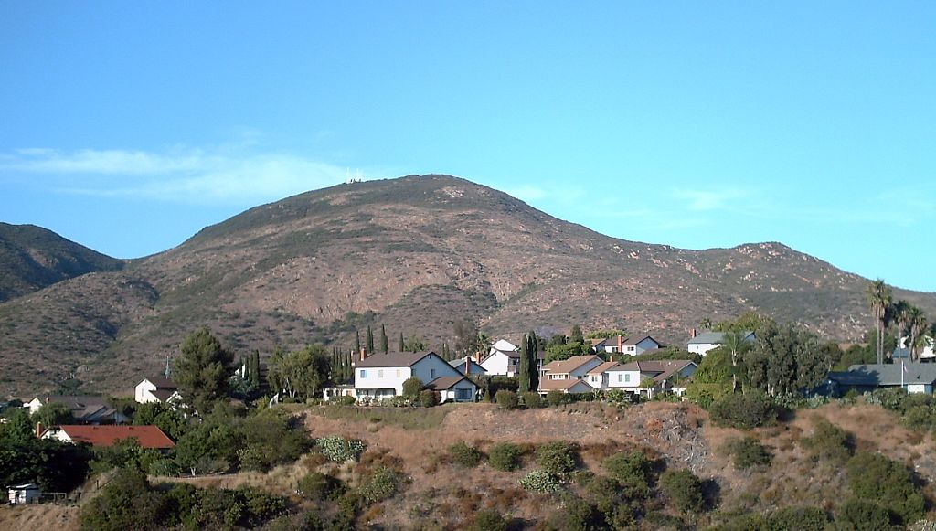 Cowles Mountain1,587 ft · California2 routes37 mi awayPhoto: The original uploader was Rsduhamel at English Wikipedia., CC BY-SA 3.0 (via Wikimedia Commons)
- Corte Madera Mountain4,654 ft · California1 route42 mi away
- Otay MountainSummit · ~42 min drivePhoto: RightCowLeftCoast, CC BY-SA 4.0 (via Wikimedia Commons)
- Cerro las CuevasSummit · ~2 min drive
- Cerro el CoronelSummit · ~9 min drive
- Mesa RedondaSummit · ~12 min drive
- Cerro el CarmeloSummit · ~16 min drive
- Mesa el DescansoSummit · ~19 min drive
- Cerro PrietoSummit · ~20 min drive
- Cerro Agua AmargaSummit · ~21 min drive
- CerroSummit · ~21 min drive
- Cerro La AvenaSummit · ~24 min drive
Best time to visit Punta el Descanso
Best months: Year-round. Best months have typical highs of 55–85 °F, lows of 30 °F or warmer (32 °F where the station doesn't record snow), at most one snowy day and no more than 12 wet days.
Jan
67° / 44°
7 wet
Feb
66° / 45°
7 wet
Mar
68° / 47°
8 wet
Apr
70° / 50°
5 wet
May
71° / 54°
3 wet
Jun
74° / 58°
1 wet
Jul
78° / 61°
1 wet
Aug
81° / 63°
1 wet
Sep
80° / 61°
2 wet
Oct
77° / 55°
4 wet
Nov
72° / 49°
5 wet
Dec
67° / 44°
7 wet
Typical high / low (°F) and days with rain or snow, 1991–2020. Measured at San Diego Brown Fld, CA, 20.7 mi away at 515 ft. This station doesn't record snowfall. Source: NOAA NCEI U.S. Climate Normals 1991–2020.
Map and trail data © OpenStreetMap contributors
