KFT - S1 - Suigen no michi
- 2.7 mi
- one way
- 2,895 ft
- high point
- Point to point
- route
- Hard
- difficulty
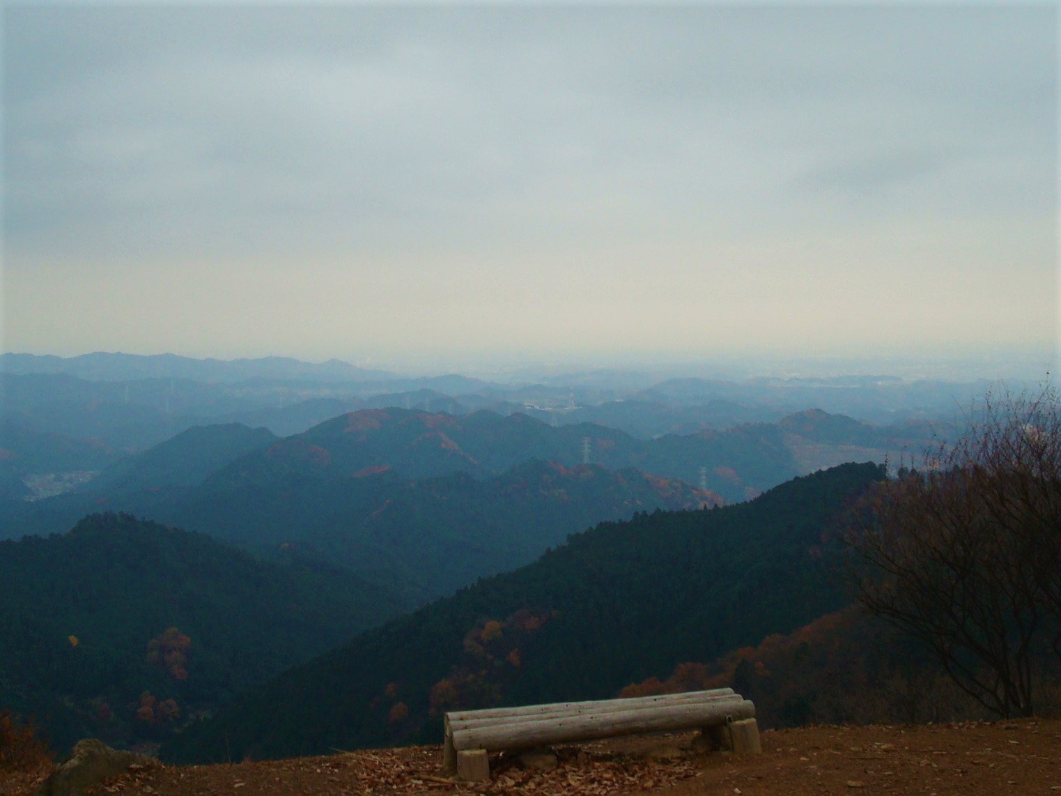
KFT - S1 - Suigen no michi is a 2.6-mile point-to-point route in Saitama, Japan. It runs between about 770 ft and 2,900 ft above sea level. It is demanding mountain hiking, with rocky or exposed stretches where you need sure footing. Most of the way is dirt. It is mapped as a named hiking route, with the sections joined into one trail here. The nearest town is Okutama, about 6.7 miles northeast of the trailhead. Peaks within about 3 miles include Rei, Mt. Konpira and Nefuji. For camping, Nolla Naguri and Kenny's Family Vilage are within about 6 miles. There are 4 other mapped trails within about 3 miles, so you can combine or extend the outing. Distances, elevations and the route shape here come from OpenStreetMap and the Copernicus 90 m elevation model. Trails, access rules and conditions change, so check locally before you go.
Conditions and forecast
Daily highs and lows, wind and the chance of precipitation at KFT - S1 - Suigen no michi for the next 7 days, from the Open-Meteo model.
- Okumusashi Long Trail 105KHiking · ~3 min drive
- KFT - S3 - Izugadake wo koeru michiHiking · ~4 min drive
- Stone Ridge TraverseHiking · ~13 min drive
- University FootpathHiking · ~33 min drive
- Okumusashi Long Trail 105KHiking · ~8 min drive
- Oyama BridgeHiking · ~30 min drive
- Okumusashi Long Trail 105KHiking · ~8 min drive
- Omoteone Traverse RouteHiking · ~49 min drive
- Okumusashi Long Trail 105KHiking · ~9 min drive
- Dakenodai hiking courseHiking · ~53 min drive


Map and trail data © OpenStreetMap contributors
