Mt. Koshio
 Photo: Okayu2323, CC BY-SA 4.0 (via Wikimedia Commons)
- 2,106 ft
- summit
Mt. Koshio is a mountain in Kyoto, Japan, with its summit at about 2,110 ft (642 m) above sea level. No mapped trail reaches the top in OpenStreetMap, so plan the approach with local maps or a guide. The nearest town is Muko, about 3.7 miles west of the summit. Peaks within about 3 miles include Mt. Daisho, Ōeyama and Mt. Ponpon. Shōren Falls is within about 3 miles. For camping, HAPPY LAMP is within about 6 miles. The location and elevation come from OpenStreetMap and the Copernicus 90 m elevation model. Check local access rules and conditions before you go.
Conditions and forecast
Daily highs and lows, wind and the chance of precipitation at the summit for the next 7 days, from the Open-Meteo model.
- Summit elevation
- 2,106 ft
We don't know of a mapped trail or route to the summit of Mt. Koshio. Plan the approach with local maps, a guidebook or a local guide, and check conditions before you go.
Questions about Mt. Koshio
How tall is Mt. Koshio?
2,106 ft (642 m).
Is there a trail to the top of Mt. Koshio?
We don't know of a mapped trail or route to the summit. Plan the approach with local maps, a guidebook or a local guide.
 ŌeyamaSummit · ~2 min drivePhoto: 運動会プロテインパワー, CC BY-SA 4.0 (via Wikimedia Commons)
 Mt. PonponSummit · ~3 min drivePhoto: Bittercup, CC BY-SA 3.0 (via Wikimedia Commons)
 Mt. MyojingadakeSummit · ~4 min drivePhoto: 吉田宅浪, CC BY-SA 3.0 (via Wikimedia Commons)
 Mount AtagoSummit · ~12 min drivePhoto: Mass Ave 975, CC BY-SA 3.0 (via Wikimedia Commons)
 Mt. KonoyamaSummit · ~13 min drivePhoto: 吉田宅浪, CC BY-SA 3.0 (via Wikimedia Commons)
 DaimonjiyamaSummit · ~14 min drivePhoto: 佐野宇久井, CC BY-SA 3.0 (via Wikimedia Commons)
 Momoyama HillSummit · ~14 min drivePhoto: Thomas vanierschot, Public domain (via Wikimedia Commons)
 Mt. KiyomizuSummit · ~15 min drivePhoto: 歌川広重(東京国立博物館所蔵), CC BY 4.0 (via Wikimedia Commons)
 Mt. OguraSummit · ~8 min drivePhoto: Yoshio Kohara, CC BY 3.0 (via Wikimedia Commons)
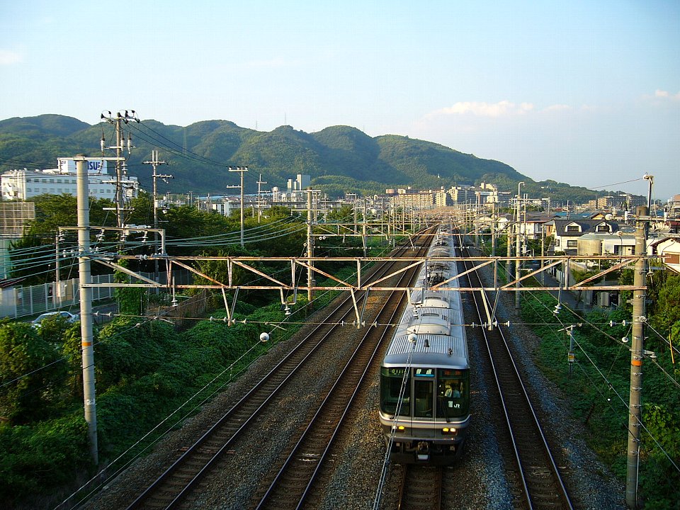 Mt. TennoSummit · ~8 min drivePhoto: Bakkai, CC BY-SA 3.0 (via Wikimedia Commons)


Map and trail data © OpenStreetMap contributors
