Sentiero forestale per Lagusel
- 1.9 mi
- round trip
- 1,486 ft
- climb
- Intermediate
- difficulty
- Out and back
- route
Sentiero forestale per Lagusel is an out-and-back mountain bike trail in Trentino-South Tyrol, Italy. It is 0.9 miles each way, 1.9 miles there and back. It runs between about 5,900 ft and 6,880 ft above sea level, with roughly 1,230 ft of climbing one way. It is rated mtb:scale 1: small obstacles like roots and loose stones, fine for most riders. The nearest town is Pera, about 3.3 miles southeast of the start. Peaks within about 3 miles include Monte Pecol, L Veie and Sas Porcel. For camping, Vidor and Rosengarten are within about 6 miles. There are 3 other mapped trails within about 3 miles, so you can combine or extend the outing. Distances, elevations and the trail shape here come from OpenStreetMap and the Copernicus 90 m elevation model. Trail access for bikes, closures and conditions change, so check locally before you ride.
Keep exploring — more rides worth the drive
 Photo: Gabriel Marchionni, CC BY-SA 3.0 (via Wikimedia Commons)
The Col
~9 min drive
An out-and-back mountain bike trail in Trentino-South Tyrol, Italy.
 Photo: Otto Domes, CC BY-SA 4.0 (via Wikimedia Commons)
Seiser Alm Hüttentour Variante Rosszähne
~13 min drive
A 1.9-mile mountain bike trail in Trentino-South Tyrol, Italy.
RIDE
Ciampac
~4 min drive
An out-and-back mountain bike trail in Trentino-South Tyrol, Italy.
RIDE
Tita Piaz
~7 min drive
An out-and-back mountain bike trail in Trentino-South Tyrol, Italy.
RIDE
MTB 9: Val Duron
~10 min drive
A 26-mile mountain bike trail that makes a loop in Trentino-South Tyrol, Italy.
 Photo: Tiia Monto, CC BY-SA 3.0 (via Wikimedia Commons)
Skipiste Vallon
~15 min drive
An out-and-back mountain bike trail in Trentino-South Tyrol, Italy.
 Photo: Mateus2019, CC BY-SA 3.0 (via Wikimedia Commons)
Porta Vescovo
~13 min drive
A 3.0-mile mountain bike trail in Veneto, Italy.
RIDE
sentiero per fontanazzo di sopra
~7 min drive
An out-and-back mountain bike trail in Trentino-South Tyrol, Italy.
RIDE
Sentiero Forestale Prà Molin
~8 min drive
An out-and-back mountain bike trail in Trentino-South Tyrol, Italy.
RIDE
MTB: Easy Jump Line
~13 min drive
A 1.4-mile mountain bike trail in Trentino-South Tyrol, Italy.
Also worth it near here
 Photo: Maurizio Ceol, CC BY 3.0 (via Wikimedia Commons)
Monte Pecol
~1 min drive
 Photo: Maurizio Ceol, CC BY 3.0 (via Wikimedia Commons)
Baita Cuz
~2 min drive
SKI
Alochet
~5 min drive
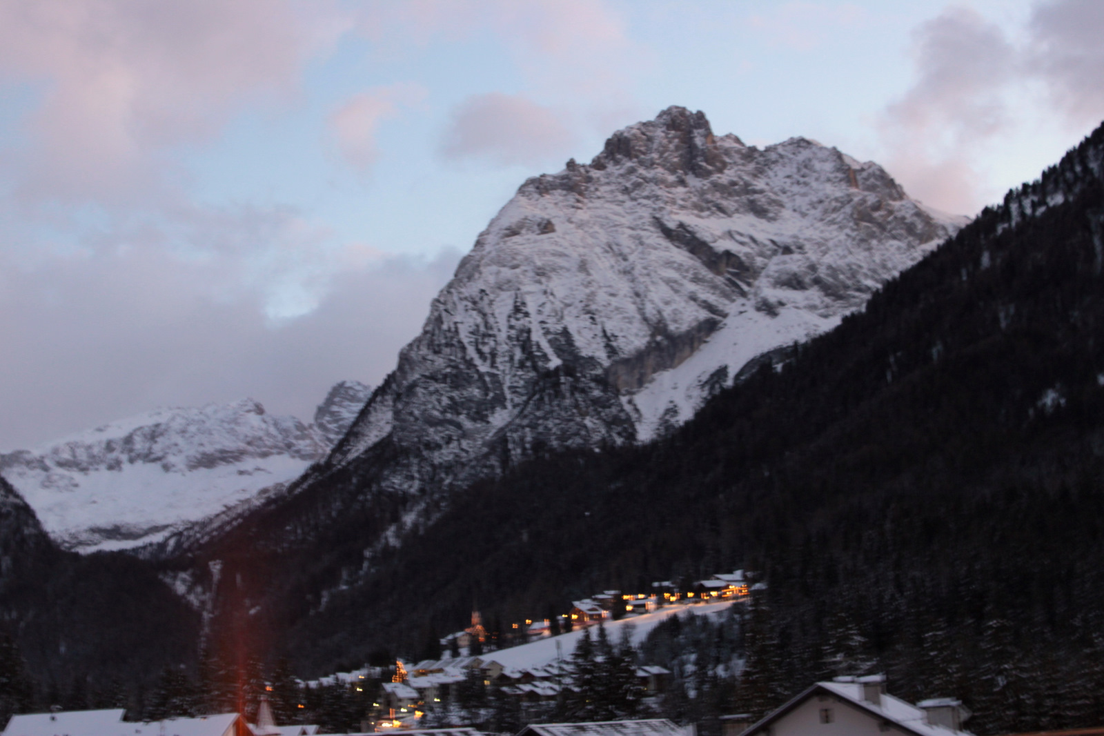 Photo: Pier B., CC BY-SA 3.0 (via Wikimedia Commons)
Campeggio Marmolada
~6 min drive
 Photo: Hans Braam, CC BY 3.0 (via Wikimedia Commons)
Sentiero alternativo per il passo Cirelle
~7 min drive
Conditions and forecast
Daily highs and lows, wind and the chance of precipitation at Sentiero forestale per Lagusel for the next 7 days, from the Open-Meteo model.
Map and trail data © OpenStreetMap contributors
