Rotsteinötz
- 2.2 mi
- round trip
- 865 ft
- climb
- Easy
- difficulty
- Gravel
- surface
Rotsteinötz is an out-and-back mountain bike trail in Trentino-South Tyrol, Italy. It is 1.1 miles each way, 2.2 miles there and back. It runs between about 4,710 ft and 4,950 ft above sea level, with roughly 380 ft of climbing one way. It is rated easy for riding (mtb:scale 0): a smooth surface with no particular obstacles. Most of the way is gravel. The nearest town is Vöran - Verano, about 1.5 miles northeast of the start. Peaks within about 3 miles include Hirschenbichl, Rotensteinkogel - Pietrarossa and Beimsteinknott. Fragsburger Wasserfall - Cascata del Rio Sinigo and Gargazoner Wasserfall - Cascata di Gargazzone are within about 3 miles. For camping, Arquin and Schlosshof are within about 6 miles. There are 18 other mapped trails within about 3 miles, so you can combine or extend the outing. Distances, elevations and the trail shape here come from OpenStreetMap and the Copernicus 90 m elevation model. Trail access for bikes, closures and conditions change, so check locally before you ride.
Keep exploring — more rides worth the drive
Kompatsch
~2 min drive
An out-and-back mountain bike trail in Trentino-South Tyrol, Italy.
zur Wurzer Alm
~2 min drive
An out-and-back mountain bike trail in Trentino-South Tyrol, Italy.
zur Wurzer Alm - alla Malga delle Erbe
~2 min drive
An out-and-back mountain bike trail in Trentino-South Tyrol, Italy.
koefeleweg
~6 min drive
An out-and-back mountain bike trail in Trentino-South Tyrol, Italy.
Schwob - Bacher
~3 min drive
An out-and-back mountain bike trail in Trentino-South Tyrol, Italy.
Katzenleiter
~5 min drive
An out-and-back mountain bike trail in Trentino-South Tyrol, Italy.
Alter Almsteig
~4 min drive
An out-and-back mountain bike trail in Trentino-South Tyrol, Italy.
Opferwank
~7 min drive
An out-and-back mountain bike trail in Trentino-South Tyrol, Italy.
Strich - Bettelrichterwiesen
~4 min drive
An out-and-back mountain bike trail in Trentino-South Tyrol, Italy.
Panoramaweg - Sentiero panoramico
~10 min drive
An out-and-back mountain bike trail in Trentino-South Tyrol, Italy.
Also worth it near here
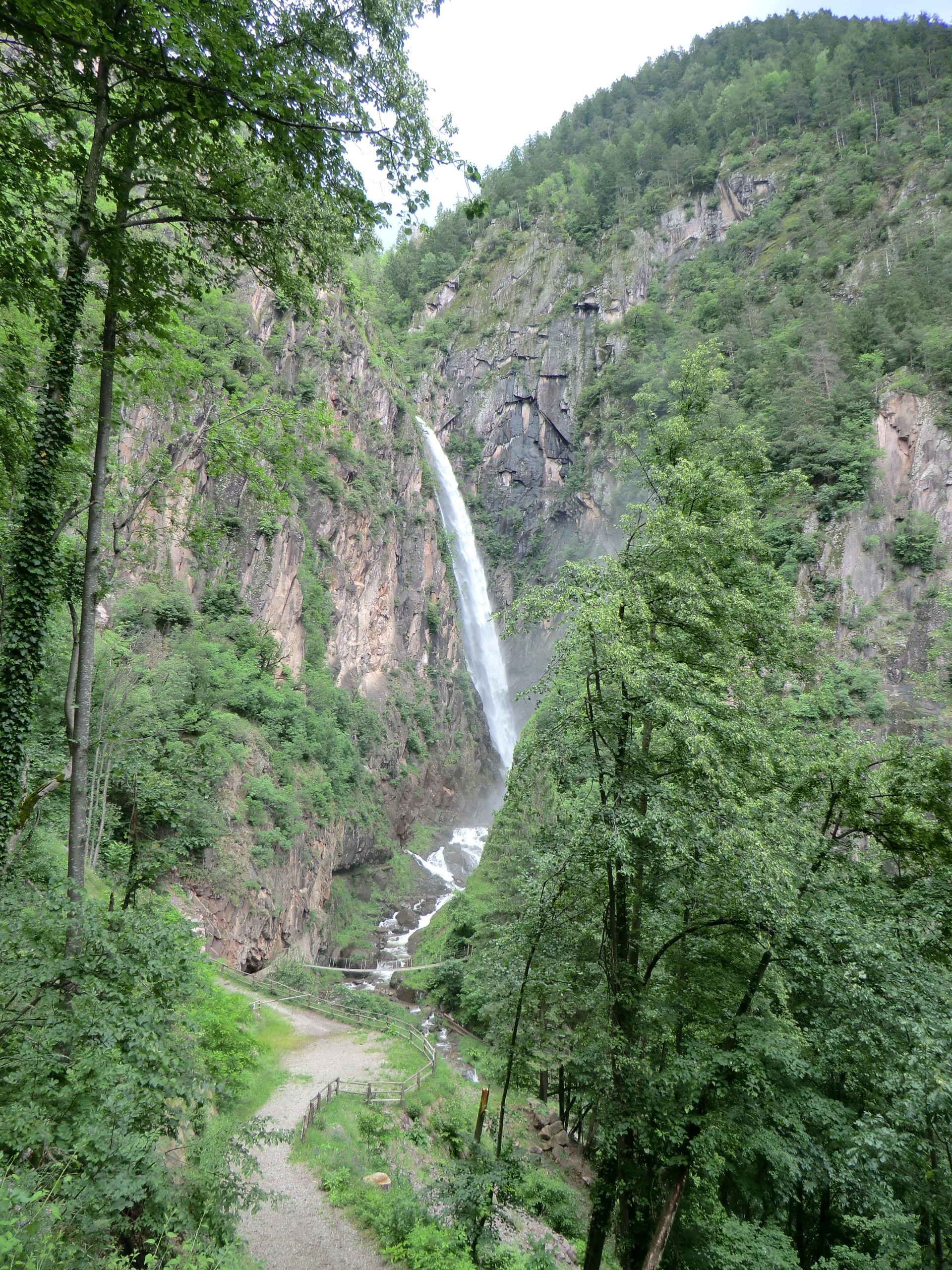 Photo: Alessandro Gigliotti, CC BY 3.0 (via Wikimedia Commons)
Fragsburger Wasserfall - Cascata del Rio Sinigo
~3 min drive
 Photo: Marie-Lan Taÿ Pamart, CC BY 4.0 (via Wikimedia Commons)
Kreuzjoch - Giogo della Croce
~5 min drive
 Photo: böhringer friedrich, CC BY-SA 2.5 (via Wikimedia Commons)
KOMODO Camping Gargazon
~7 min drive
 Photo: Alexusius, CC BY-SA 4.0 (via Wikimedia Commons)
Meranerhütte - Rifugio Merano
~8 min drive
 Photo: ManfredK, CC BY-SA 3.0 (via Wikimedia Commons)
Gfrill-Platzers - Caprile-Plazzoles
~12 min drive
Conditions and forecast
Daily highs and lows, wind and the chance of precipitation at Rotsteinötz for the next 7 days, from the Open-Meteo model.
Map and trail data © OpenStreetMap contributors
