Ifinger Süd-West-Grat
- 0.8 mi
- round trip
- 1,946 ft
- climb
- 8,246 ft
- high point
- Out and back
- route
Ifinger Süd-West-Grat is an out-and-back trail, 0.8 miles each way (1.5 miles round trip) in Trentino-South Tyrol, Italy. It runs between about 6,600 ft and 8,250 ft above sea level, with roughly 1,800 ft of climbing one way. It is demanding alpine terrain with scrambling on exposed ground; it is for experienced, well-equipped hikers. Most of the way is dirt. The nearest town is Falzeben, about 1.9 miles north of the trailhead. Peaks within about 3 miles include Lawand, Graswandspitz - La Croda Grande and Scheibenspitz - Cima del Bersaglio. For camping, Camping Hermitage and Camping Radlstadl Saltaus are within about 6 miles. There are 9 other mapped trails within about 3 miles, so you can combine or extend the outing. Distances, elevations and the route shape here come from OpenStreetMap and the Copernicus 90 m elevation model. Trails, access rules and conditions change, so check locally before you go.
Keep exploring — more trails worth the drive
 Photo: ManfredK, CC BY-SA 3.0 (via Wikimedia Commons)
Gfrill-Platzers - Caprile-Plazzoles
~19 min drive
A 0.7-mile point-to-point route in Trentino-South Tyrol, Italy.
HIKE
Oswaldscharte - Forcella Sant’Osvaldo
~2 min drive
A 0.9-mile point-to-point route in Trentino-South Tyrol, Italy.
HIKE
Riffianer Waalweg
~6 min drive
A 1.4-mile point-to-point route in Trentino-South Tyrol, Italy.
HIKE
Willy-Ahrens-Weg
~19 min drive
An out-and-back trail, 1.0 miles each way (2.0 miles round trip) in Trentino-South Tyrol, Italy.
 Photo: Seichter-wm, CC0 (via Wikimedia Commons)
Wallburgweg
~21 min drive
A 1.9-mile point-to-point route in Trentino-South Tyrol, Italy.
HIKE
Wiesler Steig
~10 min drive
A 0.3-mile point-to-point route in Trentino-South Tyrol, Italy.
HIKE
Maiser Waalweg
~6 min drive
A 5.5-mile point-to-point route in Trentino-South Tyrol, Italy.
HIKE
Mitteregg
~5 min drive
An out-and-back trail, 1.5 miles each way (3.0 miles round trip) in Trentino-South Tyrol, Italy.
HIKE
Der Anstieg des Bösen
~13 min drive
An out-and-back trail, 0.9 miles each way (1.9 miles round trip) in Trentino-South Tyrol, Italy.
HIKE
Herrschaftsweg - Sentiero della Signoria
~10 min drive
A 0.9-mile point-to-point route in Trentino-South Tyrol, Italy.
Also worth it near here
 Photo: Giorgio Galeotti, CC BY-SA 4.0 (via Wikimedia Commons)
Graswandspitz - La Croda Grande
Next door
 Photo: Steffen 962, CC BY 3.0 (via Wikimedia Commons)
Ifinger Hütte - Rifugio Ivigna
Next door
RIDE
Waidmannweg
~2 min drive
 Photo: Aschroet, CC0 (via Wikimedia Commons)
Camping Radlstadl Saltaus
~6 min drive
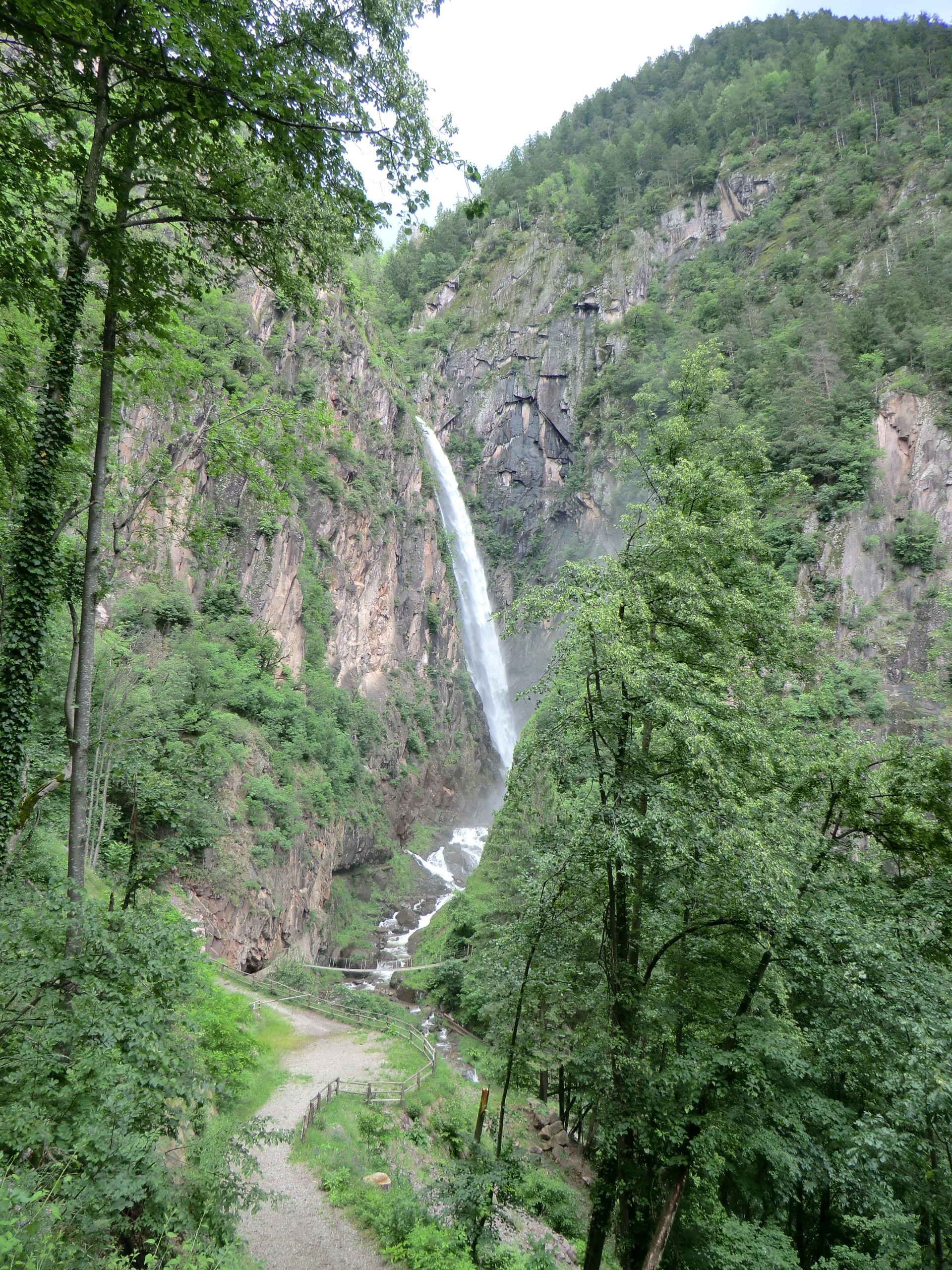 Photo: Alessandro Gigliotti, CC BY 3.0 (via Wikimedia Commons)
Fragsburger Wasserfall - Cascata del Rio Sinigo
~8 min drive
Conditions and forecast
Daily highs and lows, wind and the chance of precipitation at Ifinger Süd-West-Grat for the next 7 days, from the Open-Meteo model.
Map and trail data © OpenStreetMap contributors
