Camping Lago di Tenno
- At 1,934 ft
Camping Lago di Tenno is a campground in Trentino-South Tyrol, Italy, at about 1,930 ft above sea level. OpenStreetMap lists electric hookups. Camping here is paid. Trails within about a mile include Itinerario Garda Brenta - Tappa 7. The nearest town is Ville Del Monte, about 0.7 miles northwest of the campground. Peaks within about 3 miles include Monte San Martino, Dos dele Strie and Monte San Pietro. Cascata del Varone and Cascata di Ballino / Cascata Sajant are within about 3 miles. For camping, Verdepiano Bed & Camping and Arco Bed&Camping are within about 6 miles. The location and elevation come from OpenStreetMap and the Copernicus 90 m elevation model. Check local access rules and conditions before you go.
Keep exploring — more campsites worth the drive
 Photo: qwesy qwesy, CC BY 3.0 (via Wikimedia Commons)
Camping Arco
~7 min drive
A campground in Trentino-South Tyrol, Italy.
 Photo: Robertk9410, CC BY-SA 4.0 (via Wikimedia Commons)
Rifugio San Pietro
~2 min drive
A mountain hut in Trentino-South Tyrol, Italy.
 Photo: qwesy qwesy, CC BY 3.0 (via Wikimedia Commons)
Camping Al Cor
~9 min drive
A campground in Trentino-South Tyrol, Italy.
 Photo: ЭЯMДИИФ БIFFI, CC BY-SA 3.0 (via Wikimedia Commons)
Rifugio Bocca di Trat "Nino Pernici"
~4 min drive
A mountain hut in Trentino-South Tyrol, Italy.
 Photo: Thomasox58, CC0 (via Wikimedia Commons)
Camping Resort Drena
~12 min drive
A campground in Trentino-South Tyrol, Italy.
 Photo: Lorenzo Pavani, CC BY-SA 3.0 (via Wikimedia Commons)
Bivacco Arcioni
~8 min drive
An unstaffed wilderness hut in Trentino-South Tyrol, Italy.
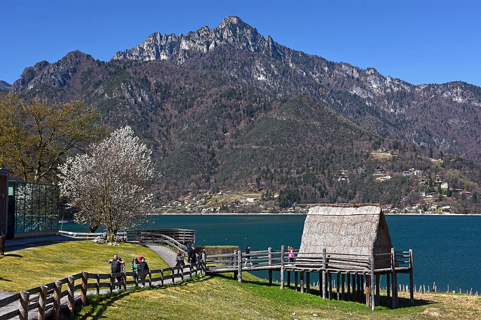 Photo: Vid Pogacnik, CC BY-SA 4.0 (via Wikimedia Commons)
Best Ledro Camping
~8 min drive
A campground in Trentino-South Tyrol, Italy.
 Photo: qwesy qwesy, CC BY 3.0 (via Wikimedia Commons)
Baita Bonaventura Segala
~12 min drive
An unstaffed wilderness hut in Lombardy, Italy.
BED
Verdepiano Bed & Camping
~5 min drive
A campground in Trentino-South Tyrol, Italy.
 Photo: Robertk9410, CC BY-SA 4.0 (via Wikimedia Commons)
Rifugio Stivo Prospero Marchetti
~13 min drive
A mountain hut in Trentino-South Tyrol, Italy.
Also worth it near here
 Photo: Syrio, CC BY-SA 4.0 (via Wikimedia Commons)
Monte San Martino
~2 min drive
 Photo: Bultro, CC BY-SA 4.0 (via Wikimedia Commons)
Cascata del Varone
~3 min drive
 Photo: Syrio, CC BY-SA 4.0 (via Wikimedia Commons)
Strada della Pinza
~5 min drive
SEE
Fraglia della Vela
~7 min drive
 Photo: qwesy qwesy, CC BY 3.0 (via Wikimedia Commons)
Sentiero degli Scaloni Ceniga
~7 min drive
Conditions and forecast
Daily highs and lows, wind and the chance of precipitation at Camping Lago di Tenno for the next 7 days, from the Open-Meteo model.
Map and trail data © OpenStreetMap contributors
