Camping Dolomiti
- At 2,606 ft
Camping Dolomiti is a campground in Trentino-South Tyrol, Italy, at about 2,610 ft above sea level. OpenStreetMap lists toilets, showers, fire rings and electric hookups. Camping here is paid. The nearest town is Dimaro, about 0.6 miles west of the campground. Peaks within about 3 miles include Piz di Montes, Cimon di Bolentina and Sass dell'Anel. Cascata del Pison is within about 3 miles. For camping, Agricampeggio Ai Gaggi is within about 6 miles. The location and elevation come from OpenStreetMap and the Copernicus 90 m elevation model. Check local access rules and conditions before you go.
Keep exploring — more campsites worth the drive
 Photo: Rifugio Orti 1900, CC BY-SA 4.0 (via Wikimedia Commons)
Rifugio Orti
~6 min drive
A mountain hut in Trentino-South Tyrol, Italy.
BED
Agricampeggio Ai Gaggi
~7 min drive
A campground in Trentino-South Tyrol, Italy.
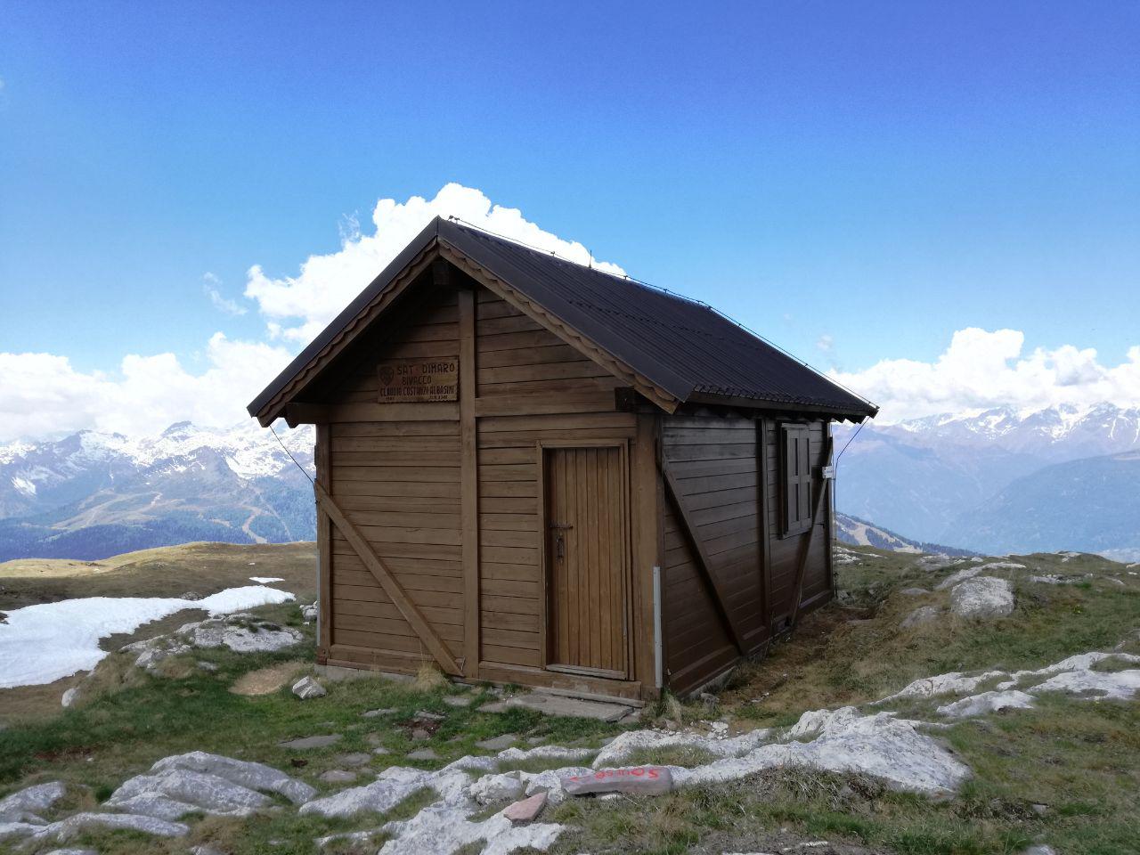 Photo: Michele Stanchina, CC BY-SA 4.0 (via Wikimedia Commons)
Bivacco Claudio Costanzi Albasini
~6 min drive
An unstaffed wilderness hut in Trentino-South Tyrol, Italy.
BED
Camping I Larici
~11 min drive
A campground in Trentino-South Tyrol, Italy.
 Photo: fadda domenico ange…, CC BY-SA 3.0 (via Wikimedia Commons)
Rifugio Peller
~7 min drive
A mountain hut in Trentino-South Tyrol, Italy.
BED
Cevedale
~11 min drive
A campground in Trentino-South Tyrol, Italy.
 Photo: Syrio, CC BY-SA 4.0 (via Wikimedia Commons)
Rifugio Alpino Fazzon
~9 min drive
A mountain hut in Trentino-South Tyrol, Italy.
BED
Area di sosta "Al Plan"
~11 min drive
A campground in Trentino-South Tyrol, Italy.
SEE
Malghetta
~3 min drive
An unstaffed wilderness hut in Trentino-South Tyrol, Italy.
SEE
Baito del Germano
~3 min drive
An unstaffed wilderness hut in Trentino-South Tyrol, Italy.
Also worth it near here
 Photo: Giorgio Galeotti, CC BY 4.0 (via Wikimedia Commons)
Malghet Aut
~4 min drive
 Photo: Giorgio Galeotti, CC BY-SA 4.0 (via Wikimedia Commons)
Pejo – Bagni di Rabbi
~11 min drive
 Photo: Giorgio Galeotti, CC BY-SA 4.0 (via Wikimedia Commons)
Cascate Ragaiolo
~11 min drive
 Photo: Andrew, CC BY-SA 3.0 (via Wikimedia Commons)
Giro di Campiglio
~11 min drive
Conditions and forecast
Daily highs and lows, wind and the chance of precipitation at Camping Dolomiti for the next 7 days, from the Open-Meteo model.
Map and trail data © OpenStreetMap contributors
