Riserva naturale orientata Pantalica Valle dell'Anapo e Torrente Cava Grande
 Photo: Pietro Columba, CC BY-SA 2.0 (via Wikimedia Commons)
- Feb–Jun, Sep–Dec
- best months
Riserva naturale orientata Pantalica Valle dell'Anapo e Torrente Cava Grande is a protected natural area in Sicily, Italy, covering about 9,900 acres (40 km²). There are 2 mapped trails inside it, including Sentiero 4 and Sentiero Bibbinello. Its peaks include Monte Rigoria, Cugno Falcone and Cugno di Fico. Elevations inside the park range from about 740 ft to 2,200 ft. The nearest town is Cassaro, about 2.3 miles east of the park's centre. It was established in 1997. It is classed as a regional nature reserve. It is managed as an IUCN category IV protected area. These details come from Wikidata. The boundary comes from OpenStreetMap. Check the park's own rules, fees and opening hours before you go.
Conditions and forecast
Daily highs and lows, wind and the chance of precipitation at Riserva naturale orientata Pantalica Valle dell'Anapo e Torrente Cava Grande for the next 7 days, from the Open-Meteo model.
Park size
9,860 acres
 Riserva naturale integrale Grotta PalombaraState park · ~20 min drivePhoto: Archeo, CC BY-SA 3.0 (via Wikimedia Commons)
 Riserva naturale integrale Grotta MonelloState park · ~20 min drivePhoto: Archeo, CC BY-SA 3.0 (via Wikimedia Commons)
 Riserva naturale orientata Saline di PrioloState park · ~22 min drivePhoto: Salvo Cannizzaro, CC BY-SA 3.0 (via Wikimedia Commons)
 Riserva naturale orientata Cavagrande del CassibileState park · ~22 min drivePhoto: Wolf Gang, CC BY-SA 2.0 (via Wikimedia Commons)
 Riserva naturale orientata Fiume Ciane e Saline di SiracusaState park · ~26 min drivePhoto: Marco Brunetti, CC0 (via Wikimedia Commons)
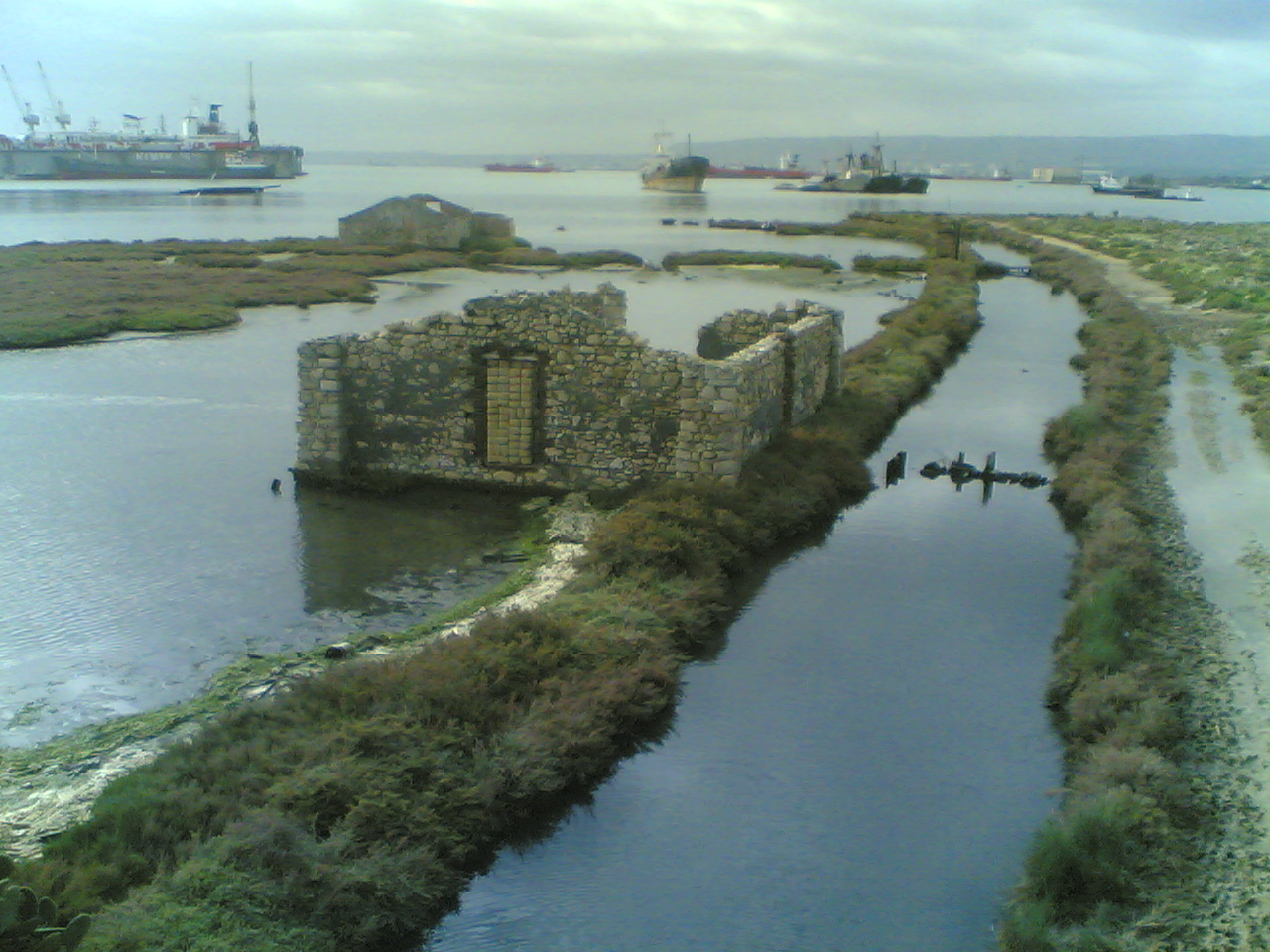 Saline di AugustaState park · ~27 min drivePhoto: Vonvikken, CC BY-SA 3.0 (via Wikimedia Commons)
 Area marina protetta PlemmirioState park · ~36 min drivePhoto: Vincenzo Miconi, CC BY-SA 4.0 (via Wikimedia Commons)
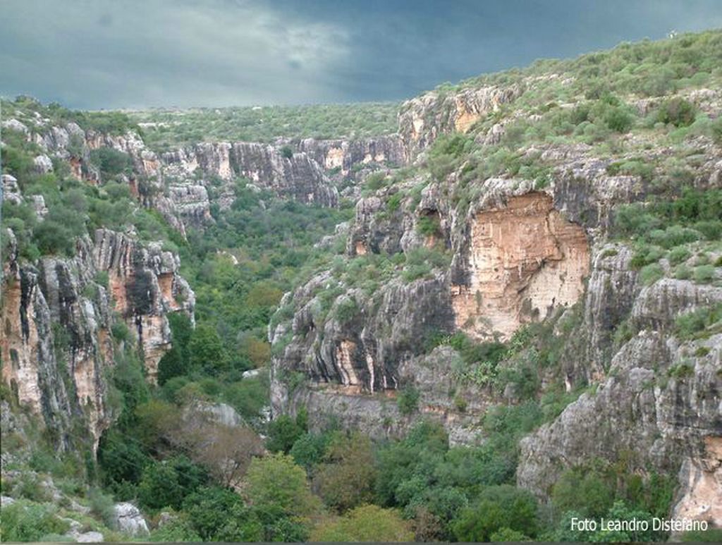 Zona Speciale di Conservazione 'Cava d’Ispica' ITA080009State park · ~37 min drivePhoto: Leandro Distefano.
Leandro Distefano
Original uploader was Cypher84 at it.wikipedia, CC BY 3.0 (via Wikimedia Commons)
 Riserva naturale orientata Oasi Faunistica di VendicariState park · ~38 min drivePhoto: gnuckx, CC BY 2.0 (via Wikimedia Commons)
 Zona Speciale di Conservazione 'Conca del Salto' - ITA080011State park · ~42 min drivePhoto: Davide Mauro, CC BY-SA 4.0 (via Wikimedia Commons)
Also worth it near here
 Cugno PaolazzoSummit · ~8 min drivePhoto: Davide Mauro, CC BY-SA 4.0 (via Wikimedia Commons)
- Case Santa VenereHut camping · ~8 min drive
 Anello Pedagaggi-Anapo-FerlaMountain biking · ~10 min drivePhoto: Davide Mauro, CC BY-SA 4.0 (via Wikimedia Commons)
- Villaggio Turistico La TorreCamping · ~11 min drive
 Scala dei Monti ClimitiHiking · ~18 min drivePhoto: Davide Mauro, CC BY-SA 4.0 (via Wikimedia Commons)
Best time to visit Riserva naturale orientata Pantalica Valle dell'Anapo e Torrente Cava Grande
Best months: February–June and September–December. Best months have typical highs of 55–85 °F, lows of 30 °F or warmer (32 °F where there's no snowfall data), at most one snowy day and no more than 12 wet days.
Jan
54° / 41°
10 wet
Feb
55° / 40°
8 wet
Mar
59° / 43°
7 wet
Apr
65° / 47°
7 wet
May
74° / 54°
5 wet
Jun
83° / 62°
2 wet
Jul
89° / 67°
1 wet
Aug
88° / 68°
2 wet
Sep
79° / 63°
5 wet
Oct
72° / 57°
7 wet
Nov
63° / 49°
11 wet
Dec
56° / 43°
11 wet
Typical high / low (°F) and days with rain or snow, 1981–2010. Modelled for the 1 km square this place sits in (average height 1,280 ft), not measured at a weather station. We don't have this place's elevation, so higher spots nearby can run cooler. Snowfall days aren't in this data. Source: CHELSA 1 km climate model (1981–2010) and CRU TS 4.09 wet days. Data: CHELSA V2.1 climatologies (Karger et al. 2017), WSL (CC0 1.0); CRU TS 4.09 (Harris et al. 2020), University of East Anglia Climatic Research Unit. Contains public sector information licensed under the Open Government Licence v3.0. (Open Government Licence v3.0).
Map and trail data © OpenStreetMap contributors
