Bric Bouchet / Bric Bucie
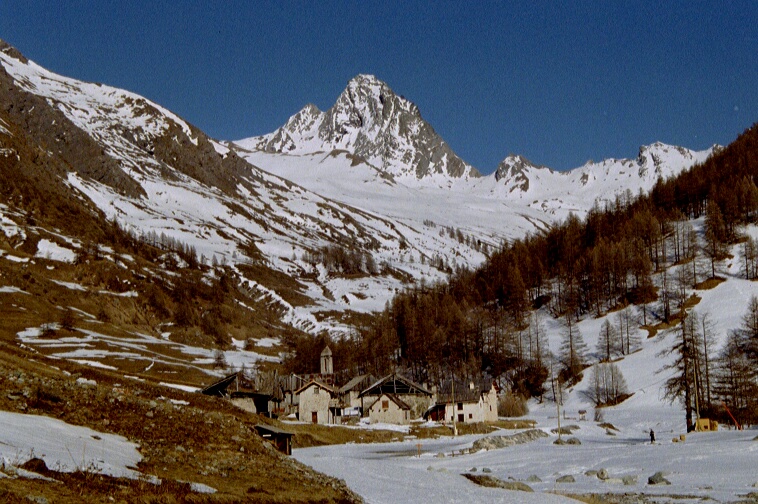 Photo: Public domain (via Wikimedia Commons)
- 9,833 ft
- summit
Bric Bouchet / Bric Bucie is a mountain in Piedmont, Italy, with its summit at about 9,830 ft (2,997 m) above sea level. Mapped trails that come within about half a mile of the top include Sentier du Col du Bouchet. The nearest town is Bobbio Pellice, about 4.7 miles west of the summit. Peaks within about 3 miles include Pointe Fournas, Punta Resiassa and Gran Guglia. Cascata del Pis is within about 3 miles. For camping, Campeggio Lago Verde and Camping La Roccia are within about 6 miles. It sits on the border between Italy and France. It is part of the Massif du Bric Bouchet. Its topographic prominence, the height it rises above the lowest col linking it to higher ground, is about 1,110 ft (338 m). The nearest higher summit is about 1.8 miles away. These details come from Wikidata. The location and elevation come from OpenStreetMap and the Copernicus 90 m elevation model. Check local access rules and conditions before you go.
Conditions and forecast
Daily highs and lows, wind and the chance of precipitation at the summit for the next 7 days, from the Open-Meteo model.
- Summit elevation
- 9,833 ft
We don't know of a mapped trail or route to the summit of Bric Bouchet / Bric Bucie. Plan the approach with local maps, a guidebook or a local guide, and check conditions before you go.
Questions about Bric Bouchet / Bric Bucie
How tall is Bric Bouchet / Bric Bucie?
9,833 ft (2,997 m).
Is there a trail to the top of Bric Bouchet / Bric Bucie?
We don't know of a mapped trail or route to the summit. Plan the approach with local maps, a guidebook or a local guide.
 Monte Viso12,602 ft · Piedmont, Italy1 route11 mi awayPhoto: Pmau, CC BY-SA 4.0 (via Wikimedia Commons)
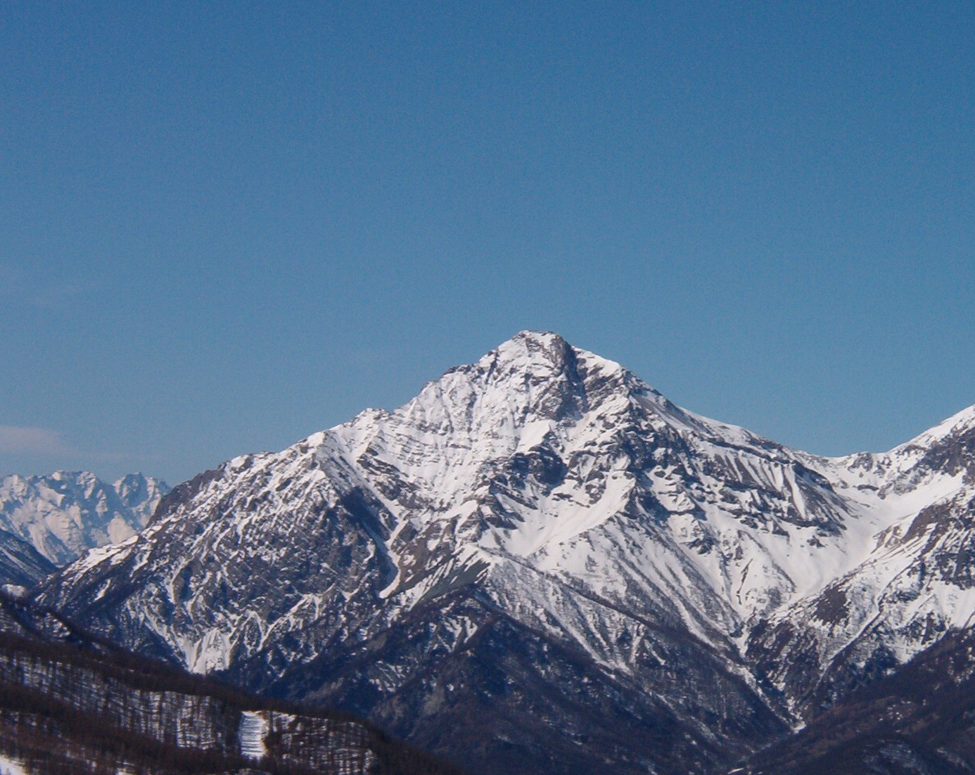 Mont Chaberton10,276 ft · Provence-Alpes-Côte d'Azur, France1 route17 mi awayPhoto: Francofranco56, Public domain (via Wikimedia Commons)
 Barre des Écrins13,458 ft · Provence-Alpes-Côte d'Azur, France1 route33 mi awayPhoto: Günter Seggebäing, Coesfeld, Germany, CC BY-SA 3.0 (via Wikimedia Commons)
 Meije13,068 ft · Auvergne-Rhône-Alpes, France1 route37 mi awayPhoto: user:RobinL, CC BY-SA 2.5 (via Wikimedia Commons)
 Grande Casse12,648 ft · Auvergne-Rhône-Alpes, France1 route41 mi awayPhoto: Rémih, CC BY-SA 4.0 (via Wikimedia Commons)
 Gran Paradiso13,323 ft · Aosta Valley, Italy1 route50 mi awayPhoto: Marie-Lan Taÿ Pamart, CC BY 4.0 (via Wikimedia Commons)
Map and trail data © OpenStreetMap contributors
