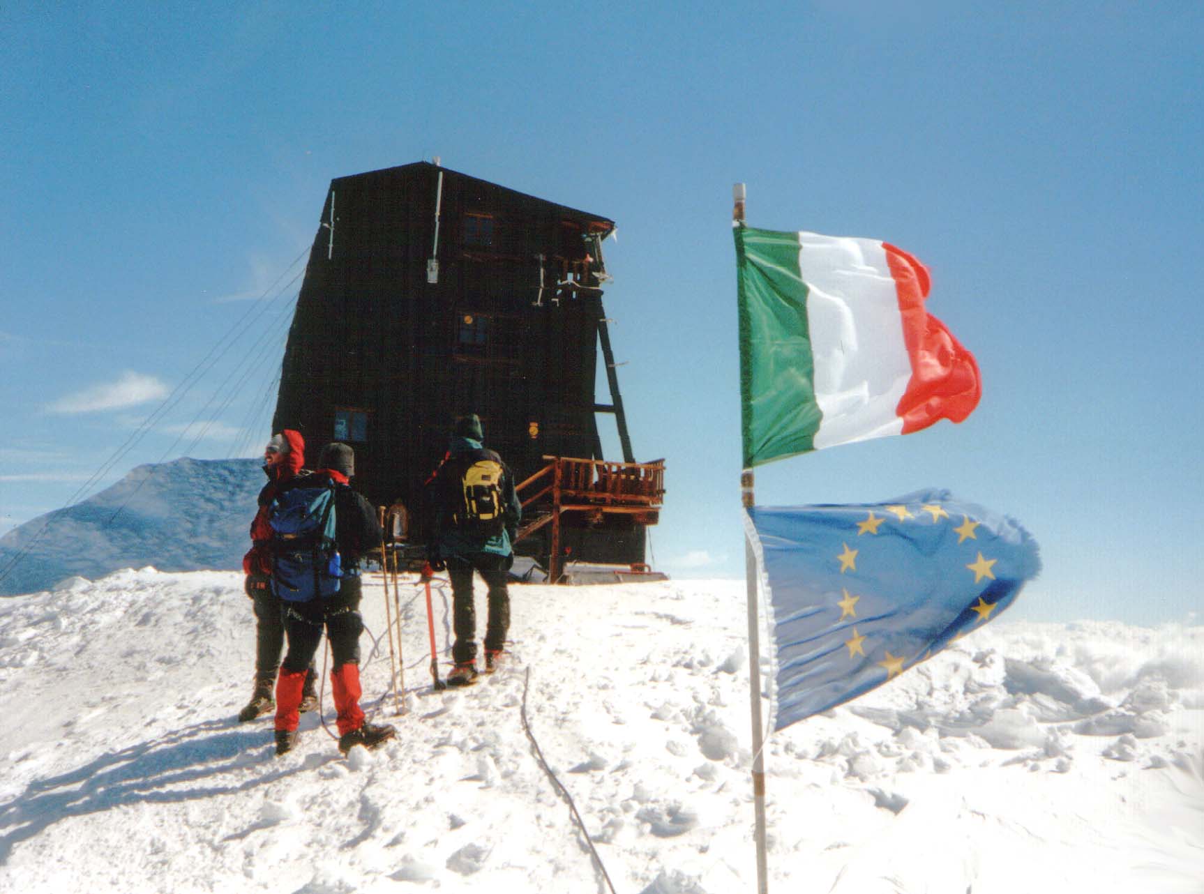
Rifugio Capanna Regina Margherita
Piedmont
Map
About
Rifugio Capanna Regina Margherita is a mountain hut in Piedmont, Italy, at about 14,940 ft (4,554 m) above sea level. It is run by CAI Varallo Sesia. It has about 80 beds. Drinking water is mapped at the hut. Trails within about a mile include Cresta Rey. The nearest town is Macugnaga, about 5.2 miles southwest of the hut. Peaks within about 3 miles include Punta Gnifetti / Signalkuppe, Zumsteinspitze and Parrotspitze / Punta Parrot. Cascata della Flua is within about 3 miles. For camping, rifugi monterosa campground and Natural Camping are within about 6 miles. The location and elevation come from OpenStreetMap and the Copernicus 90 m elevation model. Check local access rules and conditions before you go.
Campground Information
Photos
At a Glance
Location
Rifugio Capanna Regina Margherita
Piedmont
Conditions and forecast
Daily highs and lows, wind and the chance of precipitation at Rifugio Capanna Regina Margherita for the next 7 days, from the Open-Meteo model.
Plan this with Roamze
Tell Roamze when you're going and who's coming. It plans the days, gear and food around this place.
Map and trail data © OpenStreetMap contributors
