Campeggio Alagna
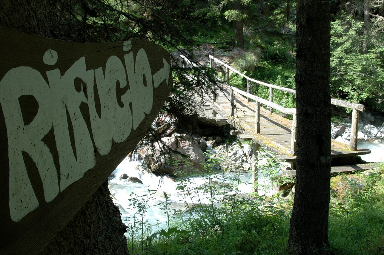
A campground in Piedmont, Italy.
 Photo: Pier B., CC BY-SA 3.0 (via Wikimedia Commons)
- At 3,748 ft
Campeggio Alagna is a campground in Piedmont, Italy, at about 3,750 ft above sea level. OpenStreetMap lists toilets, showers and electric hookups. Camping here is paid. Trails within about a mile include GTA: Rima - Sant'Antonio di Valvogna, Rifugio Sant'Antonio in Valvogna – Rima and Tour Monte Rosa tappa 4. It is on the edge of Alagna Valsesia / Im Land. Peaks within about 3 miles include Cima Mutta, Kamp Houre and Cima il Craco. Cascata d'Otro and Caldaia del torrente Otro are within about 3 miles. For camping, rifugi monterosa campground and Il Gatto e la Volpe are within about 6 miles. The location and elevation come from OpenStreetMap and the Copernicus 90 m elevation model. Check local access rules and conditions before you go.
Make it a trip
Roamze builds the days around this campground: where to sleep, where to eat after, what to do if it rains. You change anything.
Keep exploring — more campsites worth the drive
 Photo: RBell, CC BY-SA 3.0 (via Wikimedia Commons)
Rifugio Zar Senni
~2 min drive
A mountain hut in Piedmont, Italy.
rifugi monterosa campground
~4 min drive
A campground in Piedmont, Italy.
 Photo: Gaudimax, CC BY-SA 4.0 (via Wikimedia Commons)
Rifugio Santino Ferioli
~4 min drive
A mountain hut in Piedmont, Italy.
Il Gatto e la Volpe
~10 min drive
A campground in Piedmont, Italy.
 Photo: Effems, CC BY-SA 4.0 (via Wikimedia Commons)
Rifugio Pastore
~4 min drive
A mountain hut in Piedmont, Italy.
Il laghetto
~10 min drive
A campground in Piedmont, Italy.
 Photo: Django1987, CC BY-SA 4.0 (via Wikimedia Commons)
Bivacco Don Luigi Ravelli
~5 min drive
An unstaffed wilderness hut in Piedmont, Italy.
Area Attrezzata Le Giare
~12 min drive
A campground in Piedmont, Italy.
 Photo: F Ceragioli, CC BY-SA 3.0 (via Wikimedia Commons)
Rifugio Carestia
~6 min drive
A mountain hut in Piedmont, Italy.
 Photo: Franco56, CC BY-SA 4.0 (via Wikimedia Commons)
Bivacco Gastaldi
~8 min drive
An unstaffed wilderness hut in Aosta Valley, Italy.


Conditions and forecast
Daily highs and lows, wind and the chance of precipitation at Campeggio Alagna for the next 7 days, from the Open-Meteo model.
Map and trail data © OpenStreetMap contributors
