Parco Nazionale dei Monti Sibillini
 Photo: pizzodisevo, CC BY-SA 2.0 (via Wikimedia Commons)
- Jul–Sep
- best months
Parco Nazionale dei Monti Sibillini is a national park in Marche, Italy, covering about 170,800 acres (691 km²). There are 23 mapped trails inside it, including Cammino Francescano della Marca - Tappa 5, Cammino dei Cappuccini - Tappa 11 and Cammino di San Benedetto - Tappa 01. Its peaks include Monte Vettore, Cima del Redentore and Cima del Lago. Waterfalls inside it include Cascata del Pisciatore, Cascata del Rio and Cascata della Rota. For camping, there is Altino Campi Scout and Base Camp 1070. Elevations inside the park range from about 1,150 ft to 8,120 ft. The nearest town is Castelsantangelo sul Nera, about 2.2 miles northeast of the park's centre. It was established in 1993. It is managed as an IUCN category II protected area. These details come from Wikidata. The boundary comes from OpenStreetMap. Check the park's own rules, fees and opening hours before you go.
Conditions and forecast
Daily highs and lows, wind and the chance of precipitation at Parco Nazionale dei Monti Sibillini for the next 7 days, from the Open-Meteo model.
Park size
170,779 acres
 Montagna di TorricchioState park · ~16 min drivePhoto: Franco1246, CC BY-SA 3.0 (via Wikimedia Commons)
 Fiume VigiState park · ~23 min drivePhoto: LigaDue, CC BY-SA 4.0 (via Wikimedia Commons)
 Montefalcone Appennino - SmerilloState park · ~25 min drivePhoto: Paulacastelli, CC BY-SA 4.0 (via Wikimedia Commons)
 Fiume Menotre (Rasiglia)State park · ~29 min drivePhoto: Anonimo camminatore, CC BY-SA 4.0 (via Wikimedia Commons)
 Parco Regionale di ColfioritoState park · ~30 min drivePhoto: Maddy16869, CC BY-SA 4.0 (via Wikimedia Commons)
 Gola di PioracoState park · ~35 min drivePhoto: PEPPE thunder, CC BY-SA 4.0 (via Wikimedia Commons)
 Lecceta di SassovivoState park · ~37 min drivePhoto: Diego Baglieri, CC BY-SA 4.0 (via Wikimedia Commons)
 Fiume e Fonti del ClitunnoState park · ~38 min drivePhoto: Paolo Monti, CC BY-SA 4.0 (via Wikimedia Commons)
 Monte AlagoState park · ~40 min drivePhoto: Ilaria M79, CC BY-SA 3.0 (via Wikimedia Commons)
 Riserva naturale Abbadia di FiastraState park · ~41 min drivePhoto: Samu GZ, CC BY-SA 4.0 (via Wikimedia Commons)
Also worth it near here
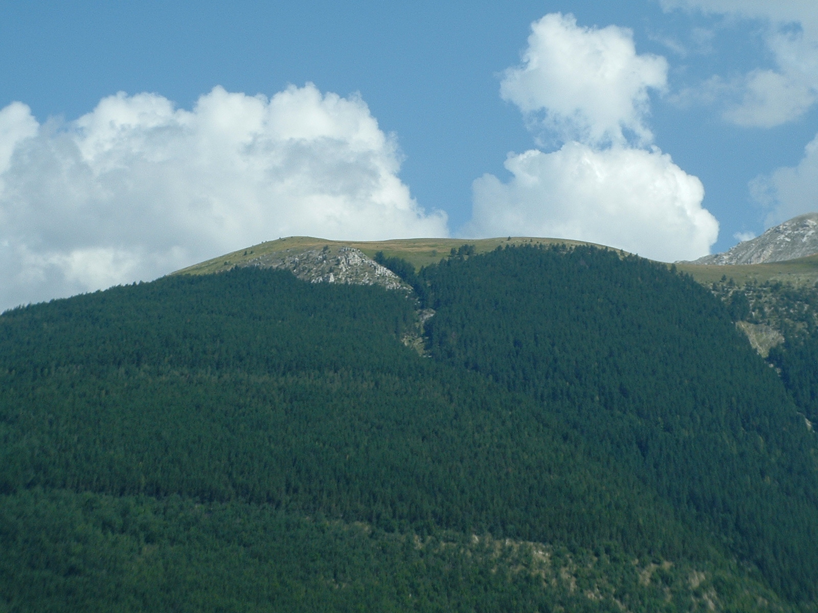 Monte CornaccioneSummit · Next doorPhoto: Lorenzo Vagni, CC BY-SA 3.0 (via Wikimedia Commons)
- E8 del ParcoMountain biking · ~1 min drive
- Cascata del PisciatoreWaterfall · ~4 min drive
- Camping ColoritoCamping · ~4 min drive
 Rifugio SibillaHut camping · ~9 min drivePhoto: Peter Forster, CC BY-SA 2.0 (via Wikimedia Commons)
Best time to visit Parco Nazionale dei Monti Sibillini
Best months: July–September. Best months have typical highs of 55–85 °F, lows of 30 °F or warmer (32 °F where there's no snowfall data), at most one snowy day and no more than 12 wet days.
Jan
32° / 18°
12 wet
Feb
32° / 16°
12 wet
Mar
37° / 21°
12 wet
Apr
43° / 26°
15 wet
May
52° / 34°
12 wet
Jun
59° / 40°
13 wet
Jul
64° / 45°
8 wet
Aug
64° / 46°
9 wet
Sep
57° / 40°
11 wet
Oct
50° / 35°
12 wet
Nov
40° / 26°
15 wet
Dec
33° / 20°
13 wet
Typical high / low (°F) and days with rain or snow, 1981–2010. Modelled for the 1 km square this place sits in (average height 5,991 ft), not measured at a weather station. We don't have this place's elevation, so higher spots nearby can run cooler. Snowfall days aren't in this data. Source: CHELSA 1 km climate model (1981–2010) and CRU TS 4.09 wet days. Data: CHELSA V2.1 climatologies (Karger et al. 2017), WSL (CC0 1.0); CRU TS 4.09 (Harris et al. 2020), University of East Anglia Climatic Research Unit. Contains public sector information licensed under the Open Government Licence v3.0. (Open Government Licence v3.0).
Map and trail data © OpenStreetMap contributors
