Cima di Calolden
- 4,774 ft
- summit
Cima di Calolden is a mountain in Lombardy, Italy, with its summit at about 4,770 ft (1,455 m) above sea level. Mapped trails that come within about half a mile of the top include Sentiero G.E.R. and Sentiero per San Martino e Rif. Piazza. The nearest town is Ballabio, about 1.8 miles west of the summit. Peaks within about 3 miles include Cima Paradiso, Monte Coltignone and Torrione Diaz. Cascata del Cenghen and Piccola cascata nella Grigna Meridionale are within about 3 miles. For camping, Camping Spiaggia and Camping Grigna are within about 6 miles. The location and elevation come from OpenStreetMap and the Copernicus 90 m elevation model. Check local access rules and conditions before you go.
Conditions and forecast
Daily highs and lows, wind and the chance of precipitation at the summit for the next 7 days, from the Open-Meteo model.
- Summit elevation
- 4,774 ft
We don't know of a mapped trail or route to the summit of Cima di Calolden. Plan the approach with local maps, a guidebook or a local guide, and check conditions before you go.
Questions about Cima di Calolden
How tall is Cima di Calolden?
4,774 ft (1,455 m).
Is there a trail to the top of Cima di Calolden?
We don't know of a mapped trail or route to the summit. Plan the approach with local maps, a guidebook or a local guide.
 Piz Bernina13,281 ft · Grisons, Switzerland1 route42 mi awayPhoto: Günter Seggebäing, CC BY-SA 3.0 (via Wikimedia Commons)
 Rheinwaldhorn11,161 ft · Grisons, Switzerland1 route45 mi awayPhoto: Werner Friedli, CC BY-SA 4.0 (via Wikimedia Commons)
 Presanella11,667 ft · Trentino-South Tyrol, Italy1 route65 mi awayPhoto: Grasso83, CC BY-SA 3.0 (via Wikimedia Commons)
 Tödi11,850 ft · Glarus, Switzerland1 route68 mi awayPhoto: Carsten Steger, CC BY-SA 4.0 (via Wikimedia Commons)
 Weissmies13,166 ft · Valais, Switzerland1 route68 mi awayPhoto: Michael Schmid, CC BY-SA 3.0 (via Wikimedia Commons)
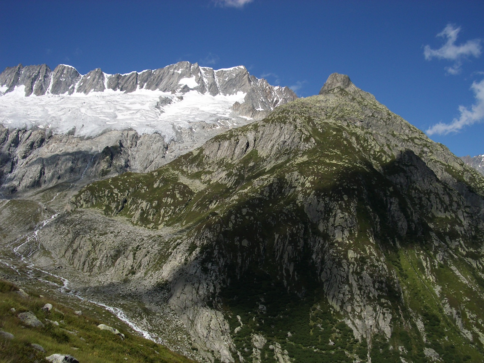 Dammastock11,909 ft · Uri, Switzerland1 route70 mi awayPhoto: Paebi, CC BY-SA 3.0 (via Wikimedia Commons)
Map and trail data © OpenStreetMap contributors
