El Ranchero
A campground in Lombardy, Italy.
- At 687 ft
El Ranchero is a campground in Lombardy, Italy, at about 690 ft above sea level. OpenStreetMap lists electric hookups. Trails within about a mile include Sorico – Novate Mezzola, Motta Campo Mezzola and Vicolo di Vico. It is on the edge of Campo Mezzola. Peaks within about 3 miles include Monte Peschiera, q. 1407 and Cima di Provinaccio. Cascata del Poncio and Cascata del Pisarota are within about 3 miles. For camping, Campeggio Poncione and Campeggio La Riva are within about 6 miles. The location and elevation come from OpenStreetMap and the Copernicus 90 m elevation model. Check local access rules and conditions before you go.
Make it a trip
Roamze builds the days around this campground: where to sleep, where to eat after, what to do if it rains. You change anything.
Keep exploring — more campsites worth the drive
 Photo: Fowl98, CC BY-SA 4.0 (via Wikimedia Commons)
Camping Lido di Colico
~12 min drive
A campground in Lombardy, Italy.
 Photo: tampe, CC BY-SA 3.0 (via Wikimedia Commons)
Base Scout - La Centralina
~4 min drive
A mountain hut in Lombardy, Italy.
Campeggio Poncione
~7 min drive
A campground in Lombardy, Italy.
 Photo: Mænsard vokser, CC BY-SA 4.0 (via Wikimedia Commons)
Capanna Volta
~7 min drive
A mountain hut in Lombardy, Italy.
Campeggio La Riva
~7 min drive
A campground in Lombardy, Italy.
 Photo: Mænsard vokser, CC BY-SA 4.0 (via Wikimedia Commons)
Bivacco Primàlpia
~7 min drive
An unstaffed wilderness hut in Lombardy, Italy.
Camping Boothill
~7 min drive
A campground in Lombardy, Italy.
 Photo: Superchilum, CC BY-SA 4.0 (via Wikimedia Commons)
Bivacco Carlo Valli
~9 min drive
An unstaffed wilderness hut in Lombardy, Italy.
Camping La Torre
~8 min drive
A campground in Lombardy, Italy.
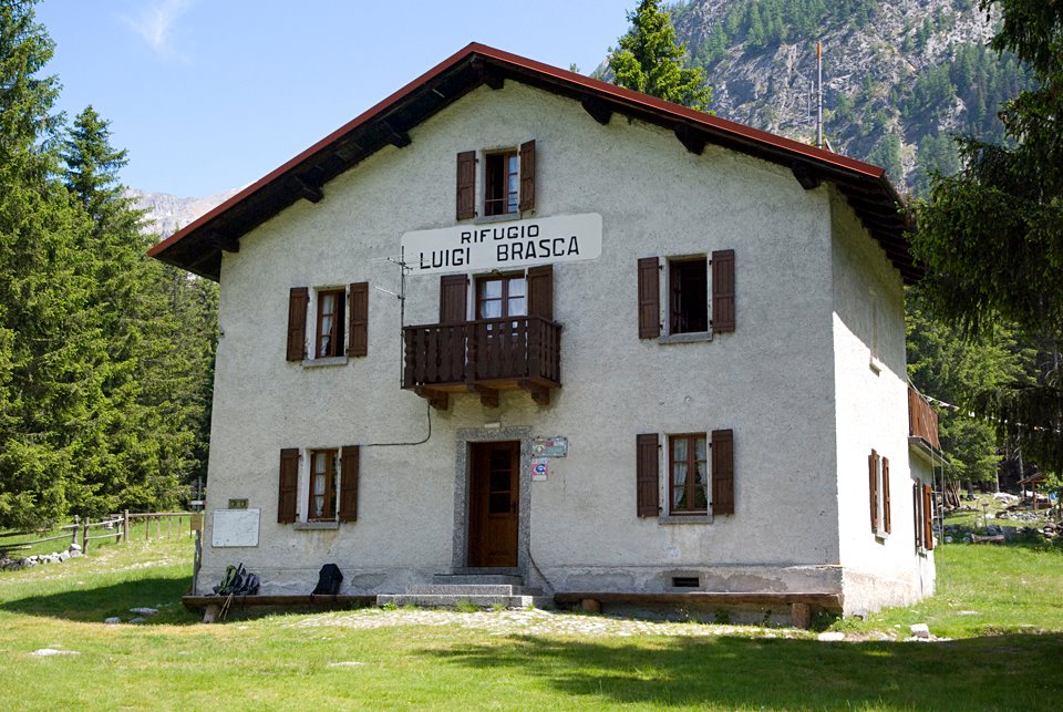 Photo: Ras78, CC BY-SA 3.0 (via Wikimedia Commons)
Rifugio Luigi Brasca
~9 min drive
A mountain hut in Lombardy, Italy.
Also worth it near here
 Photo: Schölla Schwarz, CC BY 3.0 (via Wikimedia Commons)
Spiaggietta di Verceia
~2 min drive
 Photo: Robygo2020, CC BY-SA 4.0 (via Wikimedia Commons)
Monte Peschiera
~2 min drive
 Photo: pancot, CC BY 3.0 (via Wikimedia Commons)
Tracciolino
~3 min drive
 Photo: Andreas Lattmann, CC0 (via Wikimedia Commons)
Cascata San Miro
~7 min drive
Conditions and forecast
Daily highs and lows, wind and the chance of precipitation at El Ranchero for the next 7 days, from the Open-Meteo model.
Map and trail data © OpenStreetMap contributors
