Alpen Camping
A campground in Lombardy, Italy.
- At 3,540 ft
Alpen Camping is a campground in Lombardy, Italy, at about 3,540 ft above sea level. It is inside Parco delle Orobie Bergamasche. Camping here is paid. Trails within about a mile include CamminaForeste - Tappa 4C, CamminaForeste - Tappa 4D and Pineta Schilpario. It is on the edge of Schilpario. Peaks within about 3 miles include Pian dei Ballerini, Monte Gaffione and Pianezze. Cascata della Manna and Cascate del Vo' are within about 3 miles. The location and elevation come from OpenStreetMap and the Copernicus 90 m elevation model. Check local access rules and conditions before you go.
Make it a trip
Roamze builds the days around this campground: where to sleep, where to eat after, what to do if it rains. You change anything.
Keep exploring — more campsites worth the drive
 Photo: Grasso83, CC BY-SA 3.0 (via Wikimedia Commons)
Rifugio Gualtiero Laeng
~5 min drive
A mountain hut in Lombardy, Italy.
Camping International Patrice
~11 min drive
A campground in Lombardy, Italy.
 Photo: MatthewGhera, CC BY 3.0 (via Wikimedia Commons)
Rifugio Nani Tagliaferri
~6 min drive
A mountain hut in Lombardy, Italy.
 Photo: Ras78, CC BY 3.0 (via Wikimedia Commons)
Rifugio Luigi Albani
~9 min drive
A mountain hut in Lombardy, Italy.
 Photo: opera propria, Public domain (via Wikimedia Commons)
Bivacco Città di Clusone
~10 min drive
An unstaffed wilderness hut in Lombardy, Italy.
 Photo: Ago76, CC BY-SA 3.0 (via Wikimedia Commons)
Rifugio Carlo Medici ai Cassinelli
~10 min drive
A mountain hut in Lombardy, Italy.
 Photo: Orobicon. Giorces uploads., CC BY 2.5 (via Wikimedia Commons)
Rifugio Barbellino
~10 min drive
A mountain hut in Lombardy, Italy.
 Photo: Matteo Baroni, CC BY-SA 2.5 (via Wikimedia Commons)
Rifugio Antonio Curò
~10 min drive
A mountain hut in Lombardy, Italy.
 Photo: Ago76, CC BY-SA 3.0 (via Wikimedia Commons)
Rifugio Rino Olmo
~11 min drive
A mountain hut in Lombardy, Italy.
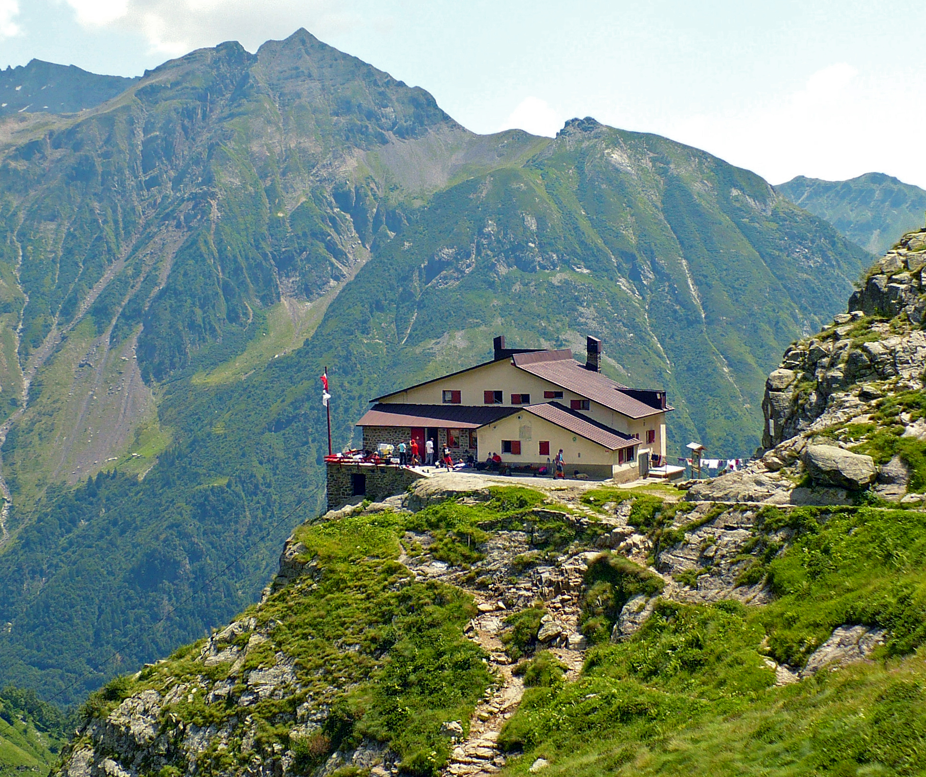 Photo: MatthewGhera, CC BY 3.0 (via Wikimedia Commons)
Rifugio Mario Merelli al Coca
~12 min drive
A mountain hut in Lombardy, Italy.
Also worth it near here
Cascata della Manna
~2 min drive
 Photo: Ago76, CC BY-SA 3.0 (via Wikimedia Commons)
Pizzo Camino
~4 min drive
Pineta Schilpario
~4 min drive
 Photo: Luigi Chiesa, CC BY 3.0 (via Wikimedia Commons)
Diga - B.ta Bella Valle
~6 min drive
 Photo: Amadvance, CC BY-SA 4.0 (via Wikimedia Commons)
MTB Castione - Passo della Presolana - Cassinelli
~10 min drive
Conditions and forecast
Daily highs and lows, wind and the chance of precipitation at Alpen Camping for the next 7 days, from the Open-Meteo model.
Map and trail data © OpenStreetMap contributors
