Parco regionale dei Monti Lattari
 Photo: Stiflele, CC BY-SA 4.0 (via Wikimedia Commons)
- May–Oct
- best months
Parco regionale dei Monti Lattari is a protected natural area in Campania, Italy, covering about 34,300 acres (139 km²). There are 41 mapped trails inside it, including "alternative to 325a", "o' pass é Catiello" and "ò' mancino". Its peaks include Molare, Monte di Mezzo (Canino) and Monte Catello (Caldara). Waterfalls inside it include Cascata Lavello, Cascata Sant' Alferio sul Fosso della Rena and Cascata dell'Acqua Sambucana. For camping, there is Agriturismo il Campanile and Faro degli Dei glamping. Elevations inside the park range from about 290 ft to 4,740 ft. The nearest town is Scala, about 1.6 miles northwest of the park's centre. It was established in 2003. It is classed as a regional park. It is managed as an IUCN category V protected area. Administratively, it is in Metropolitan City of Naples. These details come from Wikidata. The boundary comes from OpenStreetMap. Check the park's own rules, fees and opening hours before you go.
Conditions and forecast
Daily highs and lows, wind and the chance of precipitation at Parco regionale dei Monti Lattari for the next 7 days, from the Open-Meteo model.
Park size
34,328 acres
 Area Marina Protetta Punta CampanellaState park · ~18 min drivePhoto: WeEzE, CC BY-SA 2.5 (via Wikimedia Commons)
 Parco Nazionale del VesuvioState park · ~23 min drivePhoto: Lobufalo, CC BY-SA 3.0 (via Wikimedia Commons)
 Area naturale Baia di IerantoState park · ~26 min drivePhoto: Thomas Möllmann, CC BY-SA 3.0 (via Wikimedia Commons)
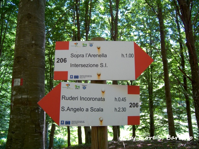 Parco Regionale del PartenioState park · ~35 min drivePhoto: Fiore Silvestro Barbato from Napoli (NA), Italy, CC BY-SA 2.0 (via Wikimedia Commons)
 Oasi Montagna di SopraState park · ~38 min drivePhoto: Lucamato, CC BY-SA 4.0 (via Wikimedia Commons)
 Area Marina Protetta Parco Sommerso di GaiolaState park · ~39 min drivePhoto: ChristiHarri, CC BY-SA 4.0 (via Wikimedia Commons)
 Parco Regionale dei Monti PicentiniState park · ~40 min drivePhoto: Freed73, Public domain (via Wikimedia Commons)
 Parco Archeologico Sommerso di BaiaState park · ~49 min drivePhoto: Ruthven, CC0 (via Wikimedia Commons)
 Parco dello QuarantenaState park · ~52 min drivePhoto: Saverio.G, CC BY-SA 4.0 (via Wikimedia Commons)
 Oasi naturale Valle della CacciaState park · ~53 min drivePhoto: Nicola D'Orta, CC BY-SA 3.0 (via Wikimedia Commons)
Also worth it near here
- Santa Maria dei MontiHut camping · ~1 min drive
- Cascata dell'Acqua SambucanaWaterfall · ~2 min drive
- Valle delle FerriereMountain biking · ~3 min drive
 Colle delle VeneSummit · ~3 min drivePhoto: ElviraMerca, CC BY-SA 4.0 (via Wikimedia Commons)
 CastiglioneBeach · ~5 min drivePhoto: Mister No, CC BY 3.0 (via Wikimedia Commons)
Best time to visit Parco regionale dei Monti Lattari
Best months: May–October. Best months have typical highs of 55–85 °F, lows of 30 °F or warmer (32 °F where there's no snowfall data), at most one snowy day and no more than 12 wet days.
Jan
47° / 41°
14 wet
Feb
47° / 40°
12 wet
Mar
50° / 43°
13 wet
Apr
54° / 46°
13 wet
May
61° / 53°
9 wet
Jun
68° / 60°
8 wet
Jul
73° / 65°
5 wet
Aug
74° / 66°
5 wet
Sep
68° / 61°
9 wet
Oct
63° / 56°
11 wet
Nov
55° / 48°
15 wet
Dec
49° / 43°
15 wet
Typical high / low (°F) and days with rain or snow, 1981–2010. Modelled for the 1 km square this place sits in (average height 2,172 ft), not measured at a weather station. We don't have this place's elevation, so higher spots nearby can run cooler. Snowfall days aren't in this data. Source: CHELSA 1 km climate model (1981–2010) and CRU TS 4.09 wet days. Data: CHELSA V2.1 climatologies (Karger et al. 2017), WSL (CC0 1.0); CRU TS 4.09 (Harris et al. 2020), University of East Anglia Climatic Research Unit. Contains public sector information licensed under the Open Government Licence v3.0. (Open Government Licence v3.0).
Map and trail data © OpenStreetMap contributors
