Gambarie – Polsi
- 13.0 mi
- one way
- 6,599 ft
- climb
- 6,404 ft
- high point
- Point to point
- route
Gambarie – Polsi is a 13-mile point-to-point route in Calabria, Italy, inside Parco Nazionale dell'Aspromonte. It runs between about 2,700 ft and 6,400 ft above sea level, with roughly 6,600 ft of climbing one way. It is mapped as a named hiking route, with the sections joined into one trail here. The nearest town is Gambarie, about 3.5 miles east of the trailhead. Peaks within about 3 miles include Monte Pietra Capella, Serro Falcone and Montalto. Cascata Tre Limiti and Cascata Tre Limiti are within about 3 miles. For camping, Fuoco alla Fantasia and Città Sopraelevata are within about 6 miles. Distances, elevations and the route shape here come from OpenStreetMap and the Copernicus 90 m elevation model. Trails, access rules and conditions change, so check locally before you go.
Keep exploring — more trails worth the drive
 Photo: Marcuscalabresus, CC BY-SA 4.0 (via Wikimedia Commons)
Mongiana – Serra San Bruno
~58 min drive
A 17-mile point-to-point route in Calabria, Italy.
Via Normanna - Tappa 20
~44 min drive
A 8.2-mile point-to-point route in Sicily, Italy.
Monte Fossazza - Rocca TImogna
~60 min drive
An out-and-back trail, 1.7 miles each way (3.4 miles round trip) in Sicily, Italy.
 Photo: Marcuscalabresus, CC BY-SA 4.0 (via Wikimedia Commons)
Serra San Bruno – Torre di Ruggiero
~1h 5m drive
A 12-mile point-to-point route in Calabria, Italy.
Via Normanna - Tappa 18
~51 min drive
A 15-mile point-to-point route in Sicily, Italy.
Sentiero Monte Olgari
~1h 21m drive
A 1.1-mile point-to-point route in Sicily, Italy.
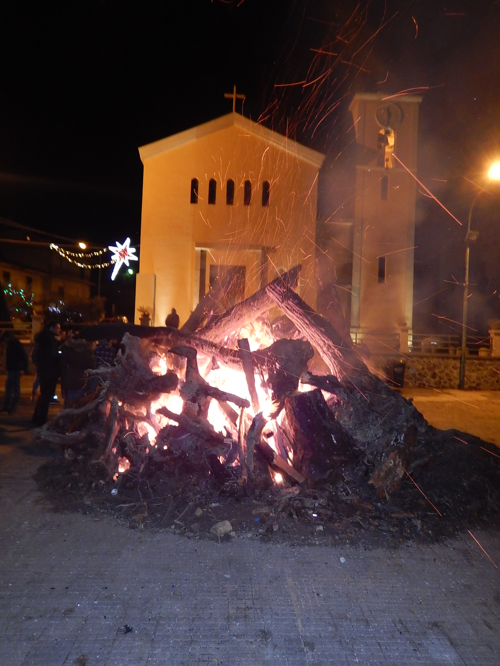 Photo: Shifegu, Public domain (via Wikimedia Commons)
Novara di Sicilia – Bivio Colla Bassa
~1h 10m drive
A 8.7-mile point-to-point route in Sicily, Italy.
Sentiero «'U 'Nfennu e u Paradisu»
~1h 2m drive
An out-and-back trail, 0.6 miles each way (1.3 miles round trip) in Sicily, Italy.
Piani di Zervò – Trepitò
~13 min drive
A 6.7-mile point-to-point route in Calabria, Italy.
San Luca – Piani di Zervò
~14 min drive
A 14-mile point-to-point route in Calabria, Italy.


Conditions and forecast
Daily highs and lows, wind and the chance of precipitation at Gambarie – Polsi for the next 7 days, from the Open-Meteo model.
Map and trail data © OpenStreetMap contributors
