Via Ellenica - Terra degli Ulivi (Tappa 7)
- 10.3 mi
- one way
- 782 ft
- climb
- 1,590 ft
- high point
- Point to point
- route
Via Ellenica - Terra degli Ulivi (Tappa 7) is a 10-mile point-to-point route in Apulia, Italy. It runs between about 1,240 ft and 1,590 ft above sea level, with roughly 780 ft of climbing one way. It is mapped as a named hiking route, with the sections joined into one trail here. It is on the edge of Alberobello. Peaks within about 3 miles include Monte del Sale and Monte Carello. For camping, Camping Bosco Selva and Dei Trulli are within about 6 miles. There are 4 other mapped trails within about 3 miles, so you can combine or extend the outing. Distances, elevations and the route shape here come from OpenStreetMap and the Copernicus 90 m elevation model. Trails, access rules and conditions change, so check locally before you go.
Keep exploring — more trails worth the drive
 Photo: Daniela_De_Blasi, CC BY-SA 4.0 (via Wikimedia Commons)
Noci – Gioia del Colle
~28 min drive
A 14-mile point-to-point route in Apulia, Italy.
 Photo: Laida (Tagzania user ID: 24661), CC BY-SA 4.0 (via Wikimedia Commons)
Parco Murgia Timone 001
~58 min drive
A 0.9-mile point-to-point route in Basilicata, Italy.
HIKE
5d Sentiero del Ciclamino
~16 min drive
An out-and-back trail, 0.6 miles each way (1.2 miles round trip) in Apulia, Italy.
 Photo: Ferdinando Traversa, CC BY-SA 4.0 (via Wikimedia Commons)
Santeramo in Colle – Matera
~44 min drive
A 19-mile point-to-point route in Apulia, Italy.
HIKE
8 Sentiero della Gravina
~16 min drive
An out-and-back trail, 0.3 miles each way (0.6 miles round trip) in Apulia, Italy.
 Photo: Polpettone, CC BY-SA 4.0 (via Wikimedia Commons)
Matera – Altamura
~1h 2m drive
A 14-mile point-to-point route in Apulia, Italy.
HIKE
Via Ellenica - Terra delle Gravine (Tappa 1)
~21 min drive
A 17-mile point-to-point route in Apulia, Italy.
HIKE
Contrada Trito – Coreggia (Alberobello)
~5 min drive
A 7.5-mile point-to-point route in Apulia, Italy.
HIKE
Deposito Carrini
~27 min drive
A 0.5-mile loop in Apulia, Italy.
HIKE
Coreggia (Alberobello) – Noci
~9 min drive
A 9.2-mile point-to-point route in Apulia, Italy.
Also worth it near here
RIDE
Salita viale del Buco
~10 min drive
 Photo: Monopolitano, CC BY-SA 3.0 (via Wikimedia Commons)
Monte San Nicola
~14 min drive
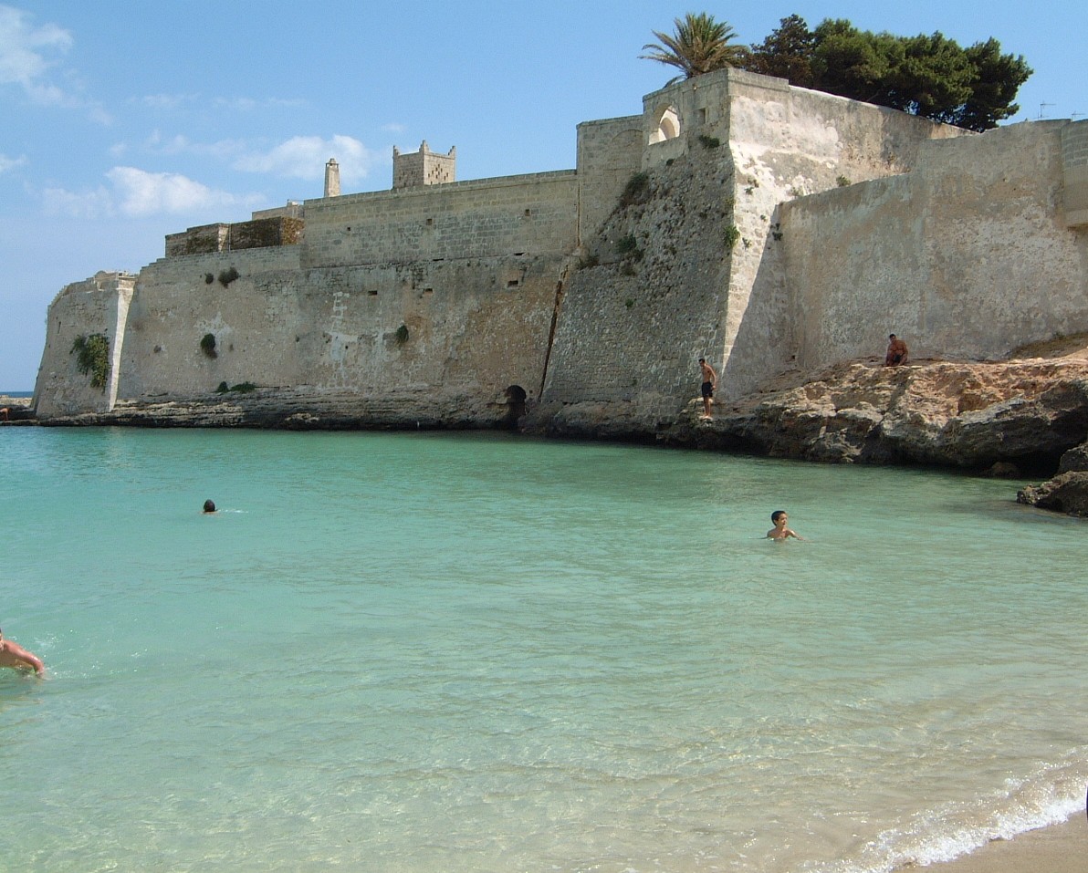 Photo: Dominchio at Italian Wikipedia, Public domain (via Wikimedia Commons)
Lido Santo Stefano
~19 min drive
 Photo: Bertolini_Francesca, CC BY-SA 4.0 (via Wikimedia Commons)
Torre Pozzelle Camping Village
~38 min drive
Conditions and forecast
Daily highs and lows, wind and the chance of precipitation at Via Ellenica - Terra degli Ulivi (Tappa 7) for the next 7 days, from the Open-Meteo model.
Map and trail data © OpenStreetMap contributors
