Sentiero Gran Sometta
- 0.5 mi
- one way
- 776 ft
- climb
- 10,215 ft
- high point
- Point to point
- route
Sentiero Gran Sometta is a 0.5-mile point-to-point route in Aosta Valley, Italy. It runs between about 9,540 ft and 10,220 ft above sea level, with roughly 780 ft of climbing one way. It is demanding mountain hiking, with rocky or exposed stretches where you need sure footing. It is mapped as a named hiking route, with the sections joined into one trail here. The nearest town is Breuil-Cervinia, about 2.9 miles southeast of the trailhead. Peaks within about 3 miles include Bec Carre', Gran Sometta and Pointe Sud. For camping, Camping Glair and Camping Cervino are within about 6 miles. There are 9 other mapped trails within about 3 miles, so you can combine or extend the outing. Distances, elevations and the route shape here come from OpenStreetMap and the Copernicus 90 m elevation model. Trails, access rules and conditions change, so check locally before you go.
Keep exploring — more trails worth the drive
 Photo: Clemente Rivetti, CC BY-SA 4.0 (via Wikimedia Commons)
Cieloalto-Cervinia
~4 min drive
An out-and-back trail, 0.4 miles each way (0.8 miles round trip) in Aosta Valley, Italy.
 Photo: Tiia Monto, CC BY-SA 4.0 (via Wikimedia Commons)
Sentiero 35 dal paravalanghe Cherillon al Rifugio Oriondé
~7 min drive
A 2.0-mile point-to-point route in Aosta Valley, Italy.
 Photo: Jo-Jo Eumerus, CC BY-SA 4.0 (via Wikimedia Commons)
Gornergrat - Hohtälli
~12 min drive
A 2.4-mile point-to-point route in Valais, Switzerland.
 Photo: Jemma wadham, CC BY-SA 4.0 (via Wikimedia Commons)
Sentier des Bouquetins
~14 min drive
An out-and-back trail, 0.4 miles each way (0.7 miles round trip) in Aosta Valley, Italy.
HIKE
Tour Monte Rosa tappa 3
~13 min drive
A 8.5-mile point-to-point route in Aosta Valley, Italy.
HIKE
Sentiero Suisse Copitou
~11 min drive
A 0.4-mile point-to-point route in Aosta Valley, Italy.
 Photo: Patafisik, CC BY-SA 3.0 (via Wikimedia Commons)
Sentiero Chaté Triatel
~14 min drive
An out-and-back trail, 0.5 miles each way (1.1 miles round trip) in Aosta Valley, Italy.
HIKE
Sentiero Comba di Rollin
~2 min drive
A 0.7-mile point-to-point route in Aosta Valley, Italy.
HIKE
Wandfluegrat
~15 min drive
An out-and-back trail, 1.3 miles each way (2.6 miles round trip) in Valais, Switzerland.
HIKE
Crest – Gressoney-Saint-Jean
~12 min drive
A 6.8-mile point-to-point route in Aosta Valley, Italy.
Also worth it near here
 Photo: SteGrifo, CC BY-SA 3.0 (via Wikimedia Commons)
Gran Sometta
Next door
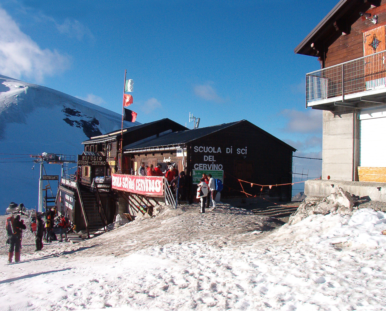 Photo: Franco56, Public domain (via Wikimedia Commons)
Rifugio Guide del Cervino
~4 min drive
 Photo: Gianluca Miscione, CC BY-SA 4.0 (via Wikimedia Commons)
Matterhorn: cresta Leone Cervino (from Crétaz)
~5 min drive
BED
Camping Glair
~8 min drive
RIDE
Ru Courtod
~8 min drive
Conditions and forecast
Daily highs and lows, wind and the chance of precipitation at Sentiero Gran Sometta for the next 7 days, from the Open-Meteo model.
Map and trail data © OpenStreetMap contributors
