Callowhill
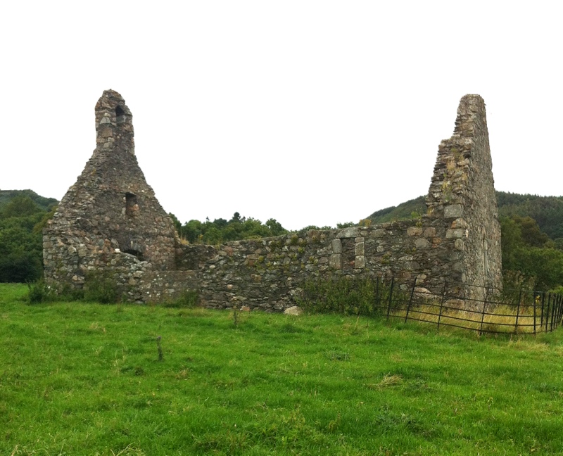
 Photo: Simon Mortimer, CC BY-SA 2.0 (via Wikimedia Commons)
- 869 ft
- summit
Callowhill is a mountain in County Wicklow, Ireland, with its summit at about 870 ft (265 m) above sea level. No mapped trail reaches the top in OpenStreetMap, so plan the approach with local maps or a guide. The nearest town is Newtownmountkennedy, about 2.4 miles southwest of the summit. Peaks within about 3 miles include Dunranhill, Mount Kennedy and Ballycurry. Devil's Glen Waterfall is within about 3 miles. For camping, Roundwood Caravan & Camping Park and Knockrobin Glamping are within about 6 miles. The location and elevation come from OpenStreetMap and the Copernicus 90 m elevation model. Check local access rules and conditions before you go.
Conditions and forecast
Daily highs and lows, wind and the chance of precipitation at the summit for the next 7 days, from the Open-Meteo model.
- Summit elevation
- 869 ft
We don't know of a mapped trail or route to the summit of Callowhill. Plan the approach with local maps, a guidebook or a local guide, and check conditions before you go.
Questions about Callowhill
How tall is Callowhill?
869 ft (265 m).
Is there a trail to the top of Callowhill?
We don't know of a mapped trail or route to the summit. Plan the approach with local maps, a guidebook or a local guide.
 Downs HillSummit · ~8 min drivePhoto: Geneahelene, CC BY-SA 4.0 (via Wikimedia Commons)
 White HillSummit · ~10 min drivePhoto: Rob Hurson, CC BY-SA 2.0 (via Wikimedia Commons)
 DjouceSummit · ~11 min drivePhoto: Sarah777 at English Wikipedia, Public domain (via Wikimedia Commons)
 Kindlestown HillSummit · ~11 min drivePhoto: Ian Paterson, CC BY-SA 2.0 (via Wikimedia Commons)
 Great SugarloafSummit · ~11 min drivePhoto: Colin Park, CC BY-SA 2.0 (via Wikimedia Commons)
 LuggalaSummit · ~11 min drivePhoto: Schcambo at English Wikipedia, Public domain (via Wikimedia Commons)
 Paddock HillSummit · ~11 min drivePhoto: Colin Park, CC BY-SA 2.0 (via Wikimedia Commons)
 ScarrSummit · ~12 min drivePhoto: Eric Barnes, CC BY 2.0 (via Wikimedia Commons)
 War HillSummit · ~12 min drivePhoto: Joe King, CC BY-SA 3.0 (via Wikimedia Commons)
 Scarr North-West TopSummit · ~13 min drivePhoto: Colin Park, CC BY-SA 2.0 (via Wikimedia Commons)
Also worth it near here
 Roundwood Caravan & Camping ParkCamping · ~6 min drivePhoto: Eirian Evans, CC BY-SA 2.0 (via Wikimedia Commons)
 Powerscourt WaterfallWaterfall · ~11 min drivePhoto: Draceane, CC BY-SA 3.0 (via Wikimedia Commons)
 Baby Sugar TrailHiking · ~12 min drivePhoto: Ian Paterson, CC BY-SA 2.0 (via Wikimedia Commons)
Map and trail data © OpenStreetMap contributors
