Sweet Briar Marsh
 Photo: habiloid, CC BY-SA 2.0 (via Wikimedia Commons)
- Norfolk Wildlife Trust
- managed by
- Jun, Aug
- best months
Sweet Briar Marsh is a protected natural area in East of England, United Kingdom, covering about 100 acres (0 km²). The nearest town is Colney, about 1.7 miles northeast of the park's centre. The boundary comes from OpenStreetMap. Check the park's own rules, fees and opening hours before you go.
Conditions and forecast
Daily highs and lows, wind and the chance of precipitation at Sweet Briar Marsh for the next 7 days, from the Open-Meteo model.
Park size
89 acres
 Sisland CarrState park · ~19 min drivePhoto: Ashley Dace, CC BY-SA 2.0 (via Wikimedia Commons)
 New Buckenham Common - Open Access LandState park · ~23 min drivePhoto: Milestone Society, CC BY-SA 2.0 (via Wikimedia Commons)
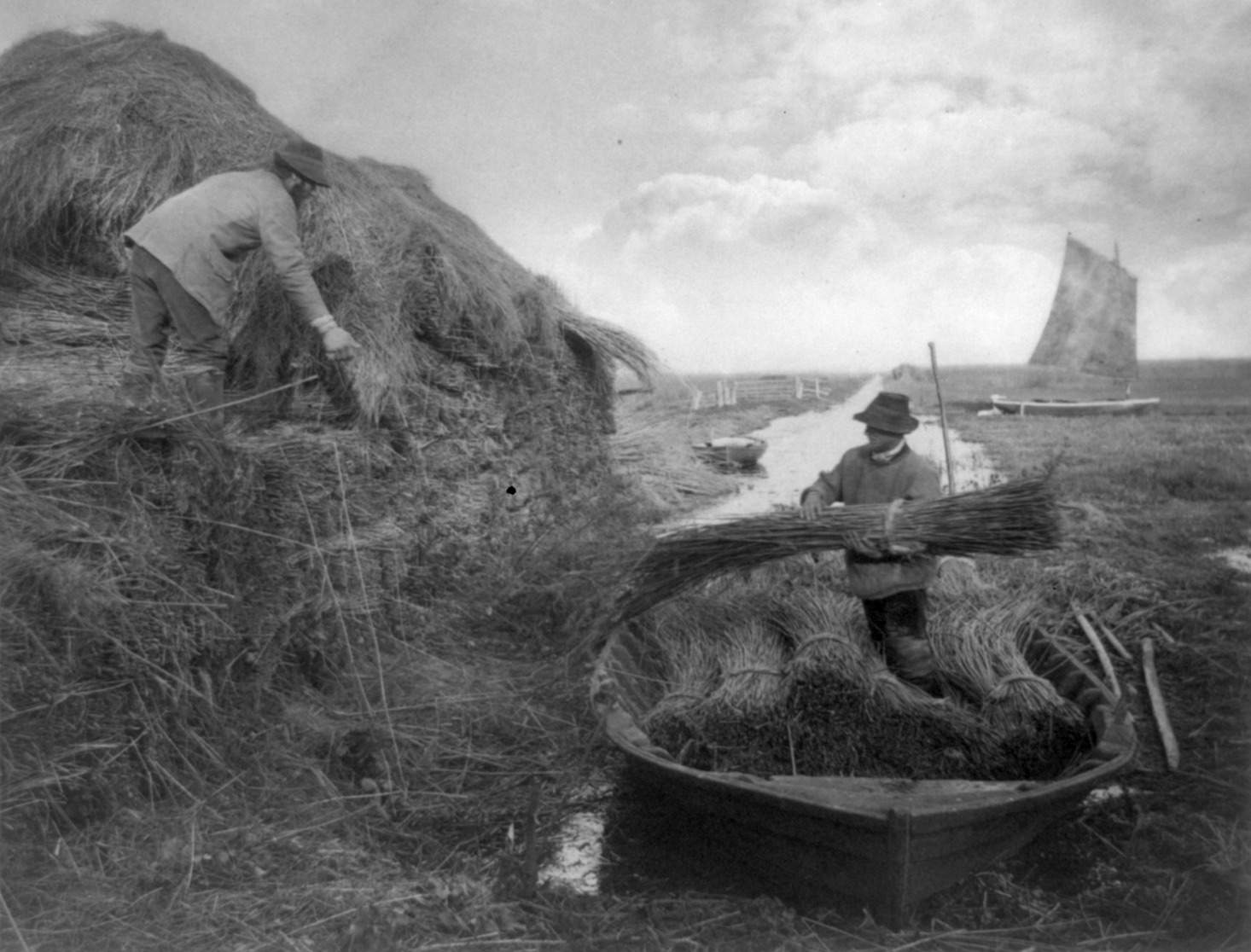 The BroadsState park · ~28 min drivePhoto: Peter Henry Emerson, Public domain (via Wikimedia Commons)
 Thompson CommonState park · ~32 min drivePhoto: James T M Towill, CC BY-SA 2.0 (via Wikimedia Commons)
 Winterton-Horsey DunesState park · ~33 min drivePhoto: Richard Law, CC BY-SA 2.0 (via Wikimedia Commons)
 Cranberry RoughState park · ~34 min drivePhoto: Hugh Venables, CC BY-SA 2.0 (via Wikimedia Commons)
 Royden FenState park · ~34 min drivePhoto: Dudley Miles, CC BY-SA 4.0 (via Wikimedia Commons)
 Wortham Ling SSSIState park · ~34 min drivePhoto: JThomas, CC BY-SA 2.0 (via Wikimedia Commons)
 Litcham Common - Open Access LandState park · ~35 min drivePhoto: Richard Humphrey, CC BY-SA 2.0 (via Wikimedia Commons)
 North Cove Nature ReserveState park · ~35 min drivePhoto: Dudley Miles, CC BY-SA 4.0 (via Wikimedia Commons)
Best time to visit Sweet Briar Marsh
Best months: June and August. Best months have typical highs of 55–85 °F, lows of 30 °F or warmer (32 °F where there's no snowfall data), at most one snowy day and no more than 12 wet days.
Jan
44° / 36°
19 wet
Feb
45° / 36°
15 wet
Mar
49° / 38°
16 wet
Apr
53° / 41°
14 wet
May
59° / 46°
13 wet
Jun
64° / 51°
12 wet
Jul
69° / 56°
13 wet
Aug
69° / 56°
12 wet
Sep
64° / 53°
13 wet
Oct
57° / 48°
16 wet
Nov
50° / 41°
19 wet
Dec
45° / 37°
18 wet
Typical high / low (°F) and days with rain or snow, 1981–2010. Modelled for the 1 km square this place sits in (average height 56 ft), not measured at a weather station. We don't have this place's elevation, so higher spots nearby can run cooler. Snowfall days aren't in this data. Source: CHELSA 1 km climate model (1981–2010) and CRU TS 4.09 wet days. Data: CHELSA V2.1 climatologies (Karger et al. 2017), WSL (CC0 1.0); CRU TS 4.09 (Harris et al. 2020), University of East Anglia Climatic Research Unit. Contains public sector information licensed under the Open Government Licence v3.0. (Open Government Licence v3.0).


Map and trail data © OpenStreetMap contributors
