Parc naturel régional du Queyras
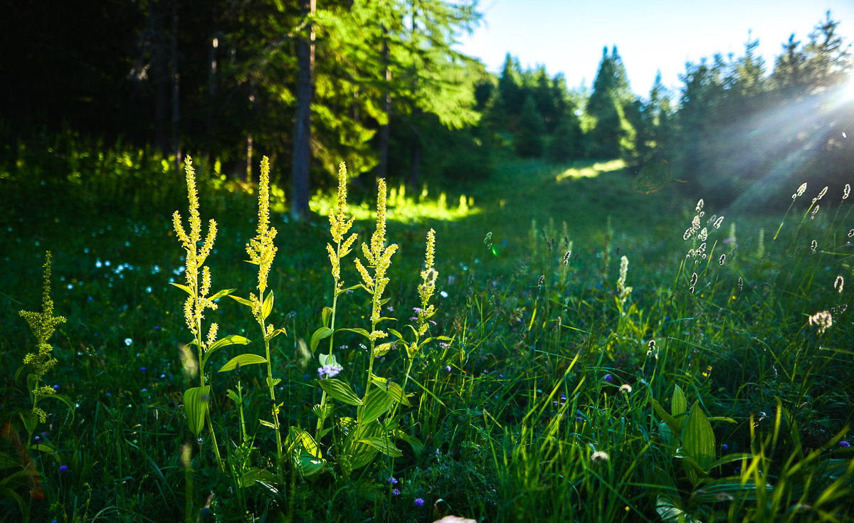
 Photo: Michel wal, CC BY-SA 3.0 (via Wikimedia Commons)
Parc naturel régional du Queyras is a protected natural area in Provence-Alpes-Côte d'Azur, France, covering about 154,300 acres (624 km²). There are 14 mapped trails inside it, including Ancien Chemin de Malaure, Chemin du Vallon and La Gardiole. Its peaks include Pics de la Font Sancte, L'Asti / Monte Aiguillette and Pic des Heuvières. Waterfalls inside it include Cascade de la Pisse. For camping, there is Aire du Val d'Escreins and Camping GCU de Aiguilles. Elevations inside the park range from about 3,920 ft to 11,110 ft. The nearest town is Molines-en-Queyras, about 1.0 miles southeast of the park's centre. It was established in 1977. It is classed as a regional natural park. It is managed as an IUCN category V protected area. Administratively, it is in Hautes-Alpes. These details come from Wikidata. The boundary comes from OpenStreetMap. Check the park's own rules, fees and opening hours before you go.
Conditions and forecast
Daily highs and lows, wind and the chance of precipitation at Parc naturel régional du Queyras for the next 7 days, from the Open-Meteo model.
Park size
154,300 acres
 Réserve naturelle des PartiasState park · ~34 min drivePhoto: Redonnets, CC BY-SA 4.0 (via Wikimedia Commons)
 Riserva naturale di PaesanaState park · ~35 min drivePhoto: AnonymousUnknown author, Public domain (via Wikimedia Commons)
 Oasi xerotermica di Oulx - AmazasState park · ~36 min drivePhoto: Pierpaolo Anselmetti, CC BY-SA 4.0 (via Wikimedia Commons)
 Oasi xerotermica di PuysState park · ~40 min drivePhoto: Valerio tarone, CC BY-SA 4.0 (via Wikimedia Commons)
 Parco Naturale del Gran Bosco di SalbertrandState park · ~41 min drivePhoto: Milesifederico, CC BY-SA 4.0 (via Wikimedia Commons)
 Riserva Naturale Speciale Rocca di CavourState park · ~45 min drivePhoto: Pampuco, CC BY-SA 4.0 (via Wikimedia Commons)
 Bardonecchia - Val FreddaState park · ~45 min drivePhoto: Giancarlo.bardonecchia, CC BY-SA 4.0 (via Wikimedia Commons)
 Parco naturale del Monte Tre Denti - FreidourState park · ~50 min drivePhoto: Gargasgrullo, CC BY-SA 4.0 (via Wikimedia Commons)
 Arnodera - Colle MontaboneState park · ~52 min drivePhoto: Sbaluf, CC BY-SA 4.0 (via Wikimedia Commons)
 Riserva Naturale dei Ciciu del VillarState park · ~52 min drivePhoto: Castrocane, CC BY-SA 3.0 (via Wikimedia Commons)
Also worth it near here
- Camping de ChanteraneCamping · ~1 min drive
 Sommet BucherSummit · ~4 min drivePhoto: Pampuco, CC BY 4.0 (via Wikimedia Commons)
- Route ForestièreMountain biking · ~7 min drive
- L'ÉchaillonSki touring · ~7 min drive
 Belvédère du lac de RoueCross-country skiing · ~9 min drivePhoto: rene boulay, CC BY-SA 3.0 (via Wikimedia Commons)
Best time to visit Parc naturel régional du Queyras
No month here meets our mild-weather rule. Best months have typical highs of 55–85 °F, lows of 30 °F or warmer (32 °F where there's no snowfall data), at most one snowy day and no more than 12 wet days.
Jan
27° / 13°
12 wet
Feb
30° / 14°
11 wet
Mar
35° / 19°
12 wet
Apr
40° / 25°
17 wet
May
49° / 32°
18 wet
Jun
59° / 40°
15 wet
Jul
65° / 45°
13 wet
Aug
65° / 45°
13 wet
Sep
58° / 39°
15 wet
Oct
48° / 32°
14 wet
Nov
36° / 21°
15 wet
Dec
28° / 13°
13 wet
Typical high / low (°F) and days with rain or snow, 1981–2010. Modelled for the 1 km square this place sits in (average height 6,073 ft), not measured at a weather station. We don't have this place's elevation, so higher spots nearby can run cooler. Snowfall days aren't in this data. Source: CHELSA 1 km climate model (1981–2010) and CRU TS 4.09 wet days. Data: CHELSA V2.1 climatologies (Karger et al. 2017), WSL (CC0 1.0); CRU TS 4.09 (Harris et al. 2020), University of East Anglia Climatic Research Unit. Contains public sector information licensed under the Open Government Licence v3.0. (Open Government Licence v3.0).
Map and trail data © OpenStreetMap contributors
