Les Gentianes
- At 4,451 ft
Les Gentianes is a campground in Provence-Alpes-Côte d'Azur, France, at about 4,450 ft above sea level. Trails within about a mile include Via Domitia, Montgenèvre - Eygalières. The nearest town is Briançon, about 2.1 miles northeast of the campground. Peaks within about 3 miles include Croix de Toulouse, Rocher Diseur and Serres des Aigles. For camping, Camping Le Bois des Alberts and La Clarée are within about 6 miles. The location and elevation come from OpenStreetMap and the Copernicus 90 m elevation model. Check local access rules and conditions before you go.
Keep exploring — more campsites worth the drive
 Photo: Martj9, CC BY-SA 4.0 (via Wikimedia Commons)
Pian del Colle
~16 min drive
A campground in Piedmont, Italy.
 Photo: Franco56, CC BY-SA 4.0 (via Wikimedia Commons)
Capanna Mautino
~10 min drive
A mountain hut in Piedmont, Italy.
 Photo: Martj9, CC BY-SA 4.0 (via Wikimedia Commons)
Camping Beaulard
~17 min drive
A campground in Piedmont, Italy.
 Photo: Francofranco56, Public domain (via Wikimedia Commons)
Refuge Napoléon
~12 min drive
A mountain hut in Provence-Alpes-Côte d'Azur, France.
BED
Camping Le Bois des Alberts
~1 min drive
A campground in Provence-Alpes-Côte d'Azur, France.
 Photo: Pimo69, CC BY-SA 4.0 (via Wikimedia Commons)
Refuge des Fonts de Cervières
~15 min drive
A mountain hut in Provence-Alpes-Côte d'Azur, France.
BED
La Clarée
~2 min drive
A campground in Provence-Alpes-Côte d'Azur, France.
 Photo: Francofranco56, Public domain (via Wikimedia Commons)
Rifugio Terzo Alpini
~18 min drive
A mountain hut in Provence-Alpes-Côte d'Azur, France.
BED
Camping des 5 Vallées
~7 min drive
A campground in Provence-Alpes-Côte d'Azur, France.
 Photo: Francofranco56, Public domain (via Wikimedia Commons)
Rifugio I Re Magi
~19 min drive
A mountain hut in Provence-Alpes-Côte d'Azur, France.
Also worth it near here
 Photo: Etienne Baudon, CC BY-SA 3.0 (via Wikimedia Commons)
Croix de Toulouse
~3 min drive
HIKE
Chemin de la Via Ferrata La Croix de Toulouse
~3 min drive
 Photo: Florian Pépellin, CC BY-SA 4.0 (via Wikimedia Commons)
Route Forestière des Fontaines
~3 min drive
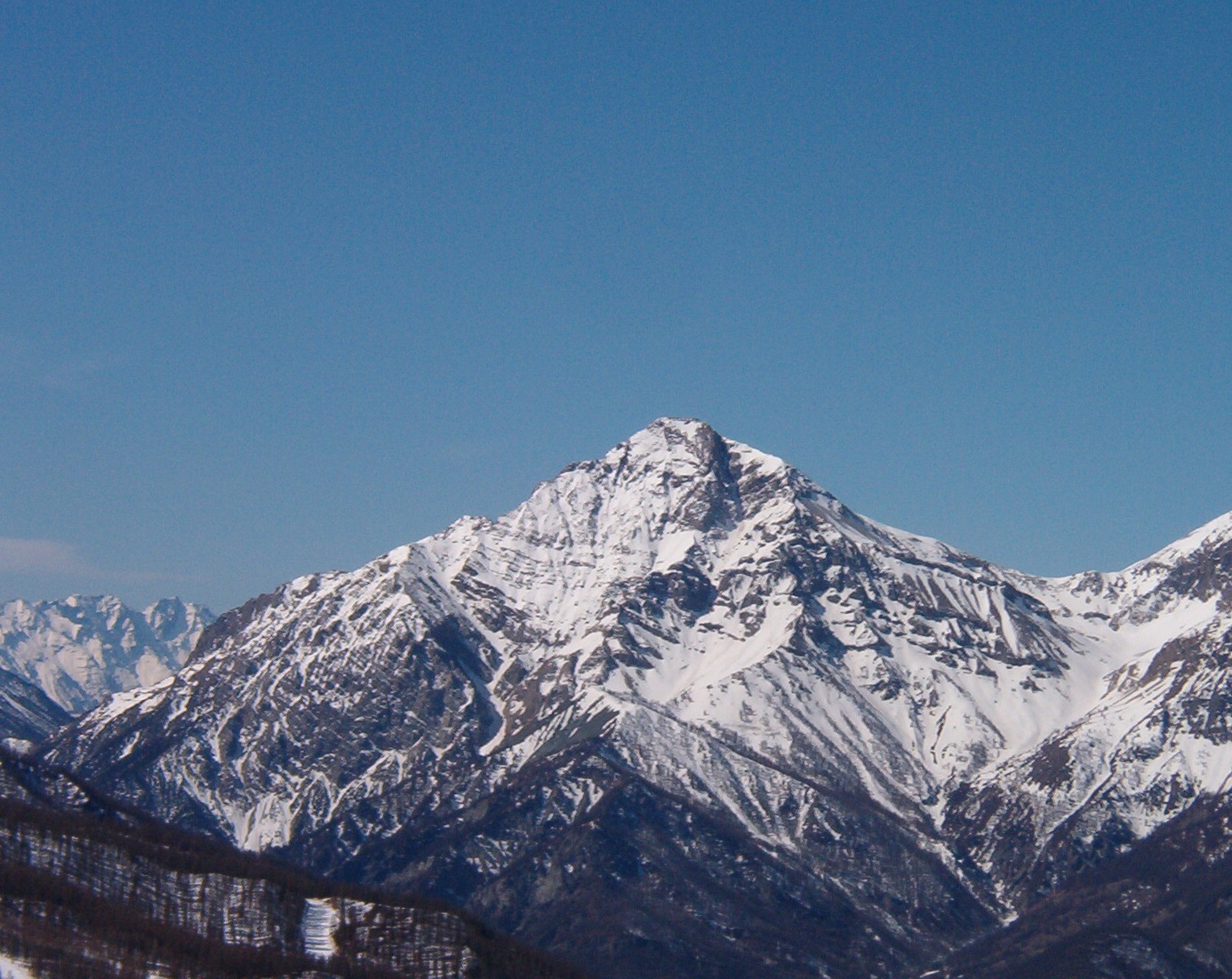 Photo: Francofranco56, Public domain (via Wikimedia Commons)
Mont Chaberton: Route from Serre Thibaud mixed lift station
~6 min drive
 Photo: Jonathan Queutois, CC0 (via Wikimedia Commons)
Claviere - Monte de la Plane
~7 min drive
Conditions and forecast
Daily highs and lows, wind and the chance of precipitation at Les Gentianes for the next 7 days, from the Open-Meteo model.
Map and trail data © OpenStreetMap contributors
