La traversée des Pyrénées - sec.6 - variante
- 12.7 mi
- one way
- 7,281 ft
- climb
- 6,404 ft
- high point
- Point to point
- route
La traversée des Pyrénées - sec.6 - variante is a 13-mile point-to-point route in Occitania, France, inside Parc national des Pyrénées (Aire d'adhésion). It runs between about 2,760 ft and 6,400 ft above sea level, with roughly 7,280 ft of climbing one way. It is mapped as a named hiking route, with the sections joined into one trail here. It is on the edge of Cauterets. Peaks within about 3 miles include Turon de Haubaré, Turan des Oules and Pic des Bains. Cascade des sources de Mauhourat and Cascade de Lutour are within about 3 miles. For camping, Camping Les Glères and Le Cluquet are within about 6 miles. Distances, elevations and the route shape here come from OpenStreetMap and the Copernicus 90 m elevation model. Trails, access rules and conditions change, so check locally before you go.
Keep exploring — more trails worth the drive
HIKE
Sentier "Col de Riou - Pic de Viscos"
~4 min drive
An out-and-back trail, 1.9 miles each way (3.8 miles round trip) in Occitania, France.
HIKE
Chemin de Camousset
~7 min drive
An out-and-back trail, 2.1 miles each way (4.2 miles round trip) in Occitania, France.
HIKE
Sentier Falisse
~7 min drive
An out-and-back trail, 1.5 miles each way (2.9 miles round trip) in Occitania, France.
HIKE
cretes de pan
~10 min drive
An out-and-back trail, 1.8 miles each way (3.6 miles round trip) in Occitania, France.
HIKE
Sente du Lac du Chabarrou au Col Peyrot
~11 min drive
An out-and-back trail, 0.6 miles each way (1.2 miles round trip) in Occitania, France.
HIKE
Sentier du Col Peyrot au Vallon de Pouey Trenous
~9 min drive
An out-and-back trail, 1.3 miles each way (2.7 miles round trip) in Occitania, France.
HIKE
Étape 14
~13 min drive
A 8.7-mile point-to-point route in Occitania, France.
HIKE
Ancien Chemin Arras - Argeles
~13 min drive
An out-and-back trail, 0.8 miles each way (1.7 miles round trip) in Occitania, France.
HIKE
Itinéraire est
~15 min drive
An out-and-back trail, 0.8 miles each way (1.6 miles round trip) in Occitania, France.
HIKE
Nouveau sentier du lac de Labas
~11 min drive
An out-and-back trail, 0.9 miles each way (1.8 miles round trip) in Occitania, France.
Also worth it near here
 Photo: Amanda Hinault from Lannion, France, CC BY-SA 2.0 (via Wikimedia Commons)
Pic des Bains
~1 min drive
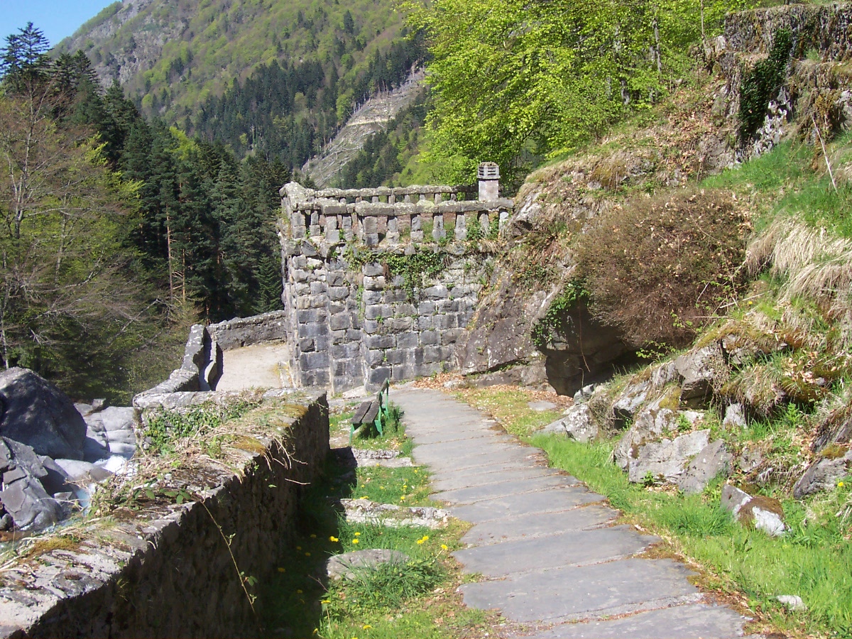 Photo: Gerard from Tarbes, France, CC BY-SA 2.0 (via Wikimedia Commons)
Mauhourat
~2 min drive
Photo: Gerard from Tarbes, France, CC BY-SA 2.0 (via Wikimedia Commons)Cascade des sources de Mauhourat
~2 min drive
 Photo: Sotos, CC BY 4.0 (via Wikimedia Commons)
Aire de bivouac du Chalet du Clot
~5 min drive
Photo: Sotos, CC BY 4.0 (via Wikimedia Commons)Chalet du Clot
~5 min drive
Conditions and forecast
Daily highs and lows, wind and the chance of precipitation at La traversée des Pyrénées - sec.6 - variante for the next 7 days, from the Open-Meteo model.
Map and trail data © OpenStreetMap contributors
